Alpine Crossing: 5 routes to suit all tastes
Updated on
- The classic E5 Alpine crossing
- Munich-Venice Alpine crossing – the stuff of dreams
- For pleasure seekers – The route from Lake Tegern to Sterzing
- For free spirits – Via Alpina Yellow Trail
- For the adventurous – the Grande Traversata delle Alpi
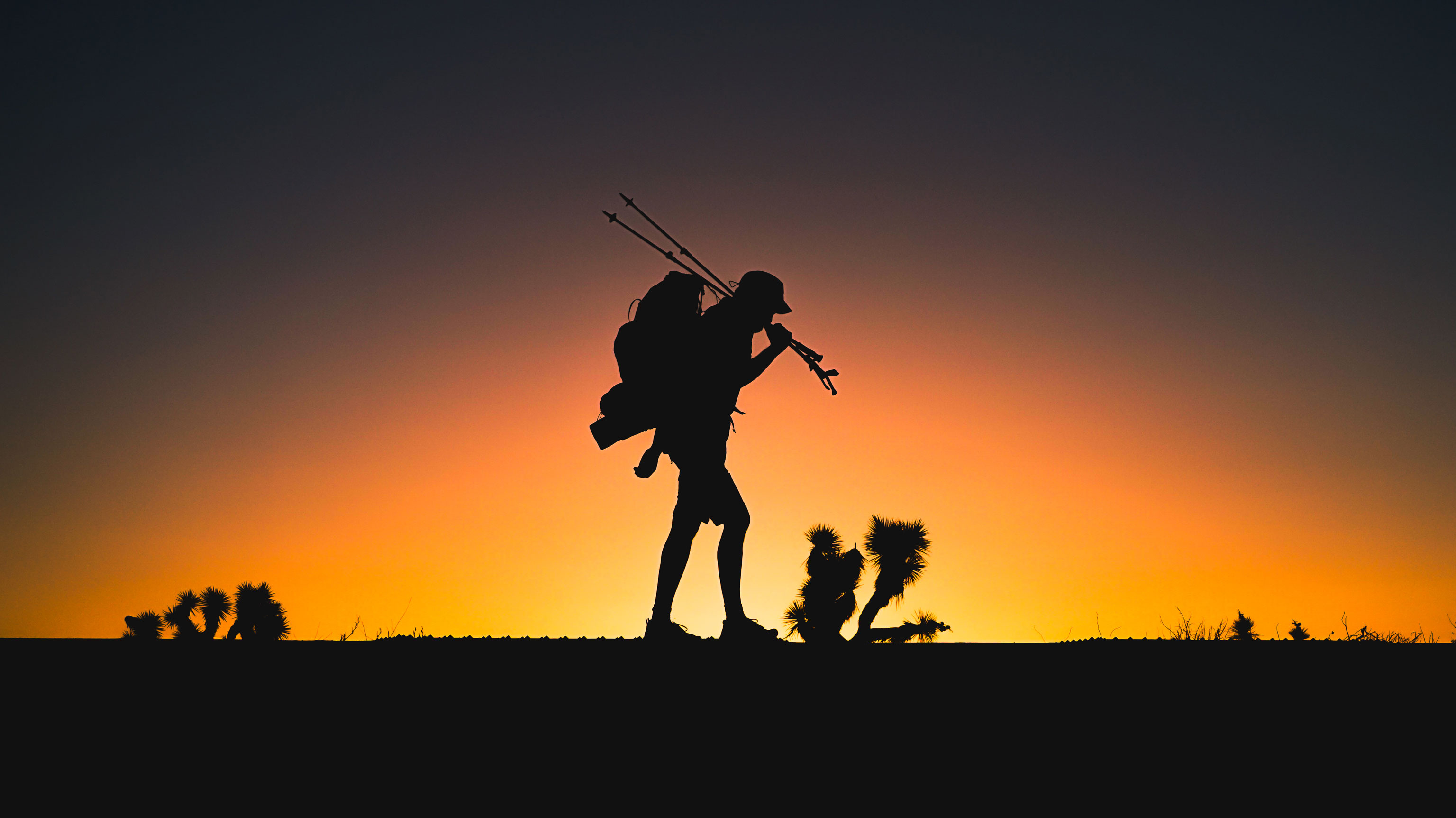
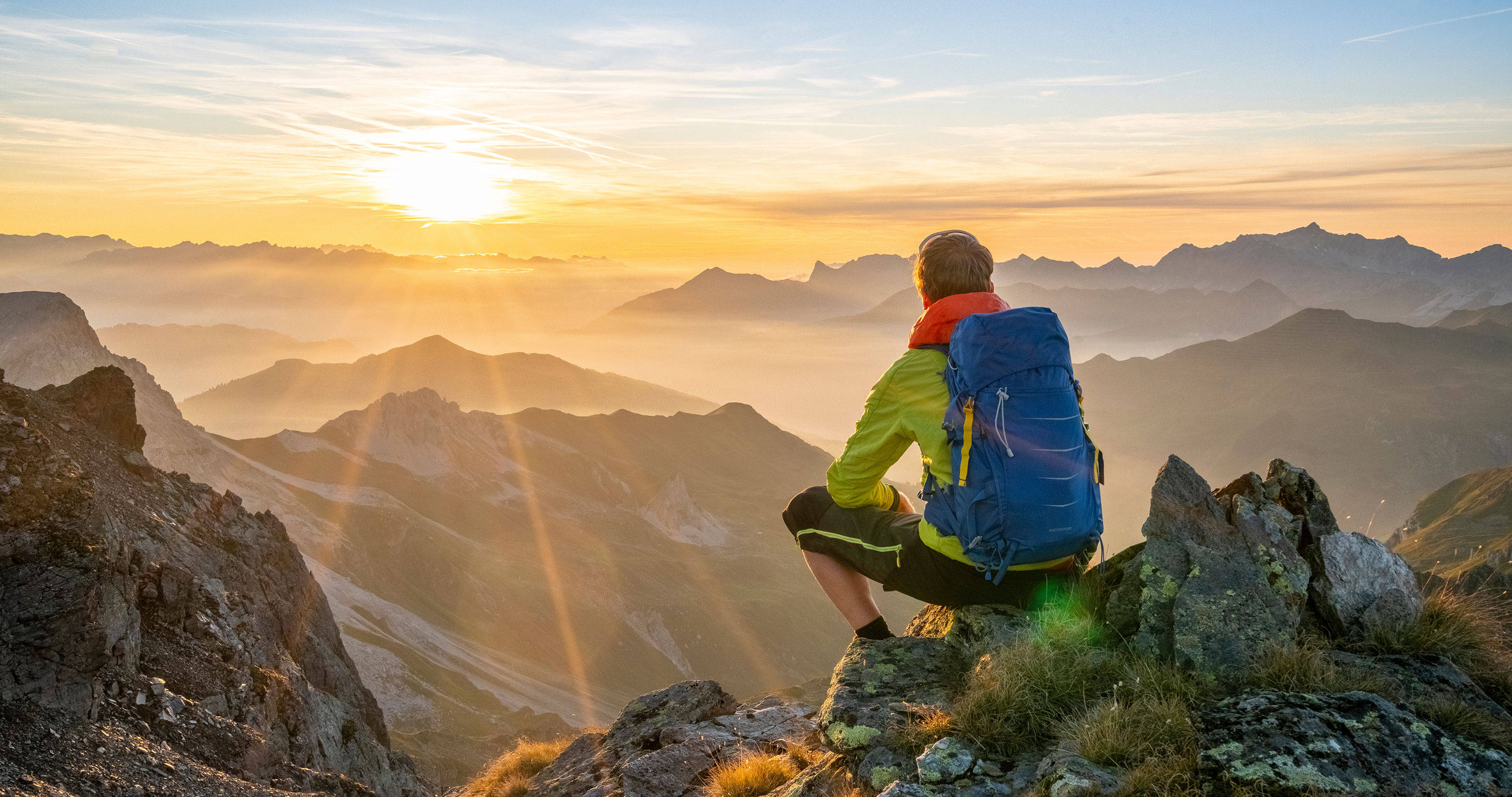
Thinking of hiking across the Alps, but unsure which route to take? We present five multi-day hikes over the Alps. Choose from a popular, traditional route, to an insider tip, from a leisurely hike to a real Alpine adventure.
Find out what type of trans-alpine route hiker you are.
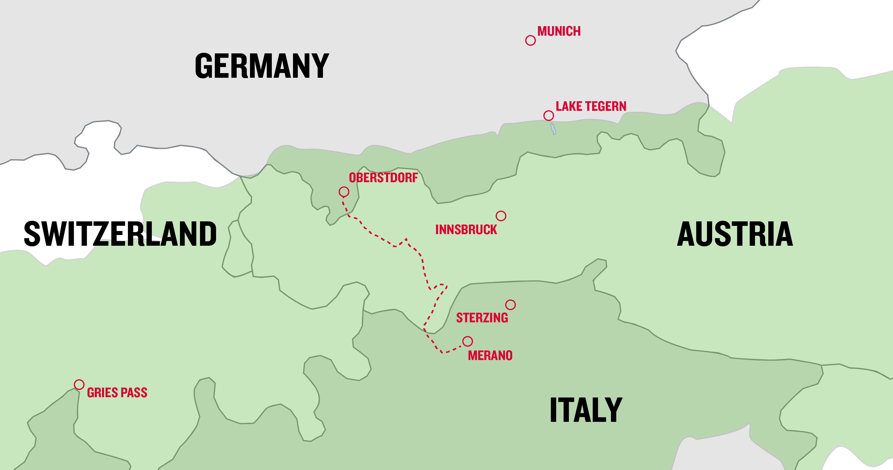
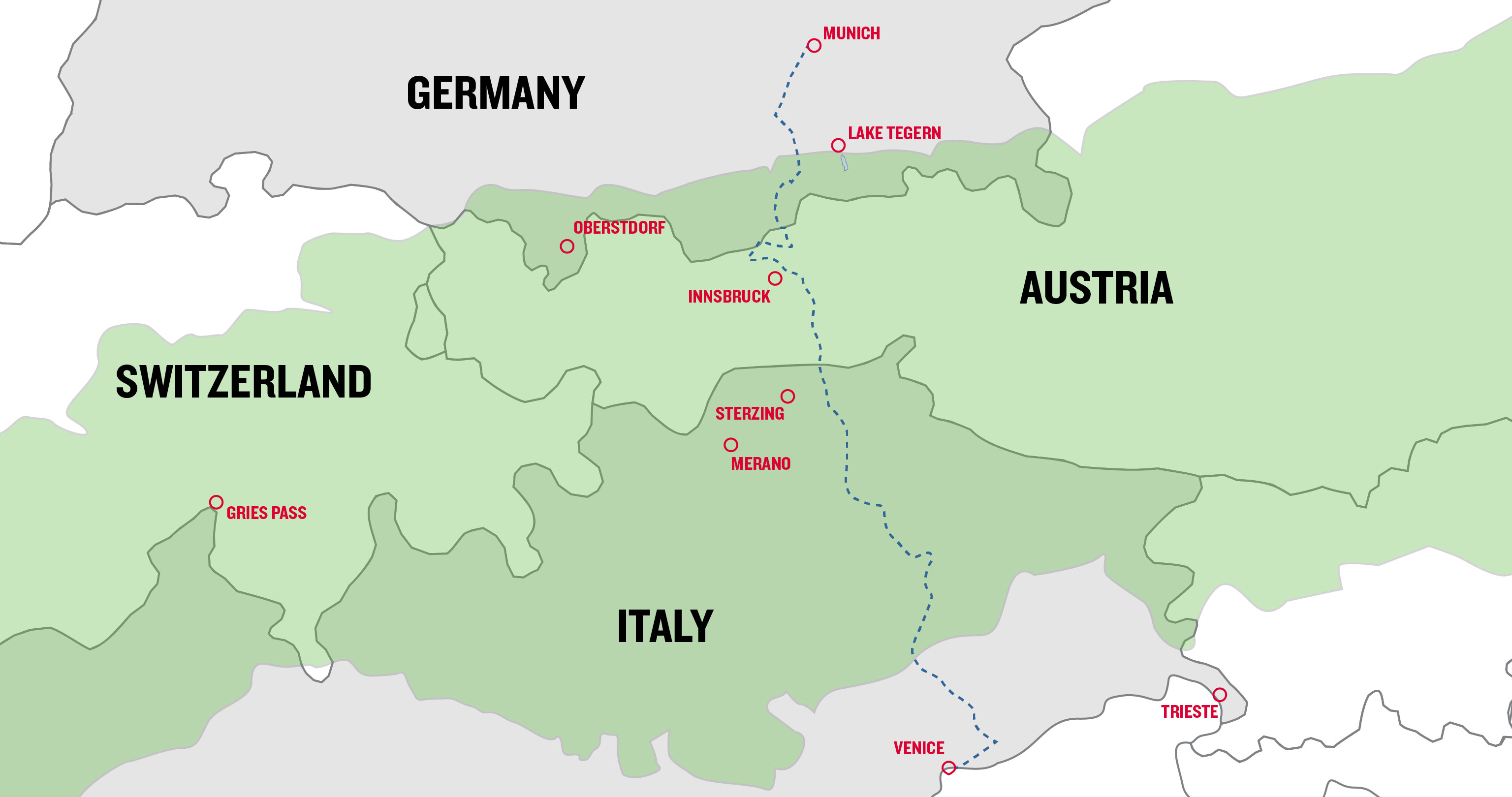
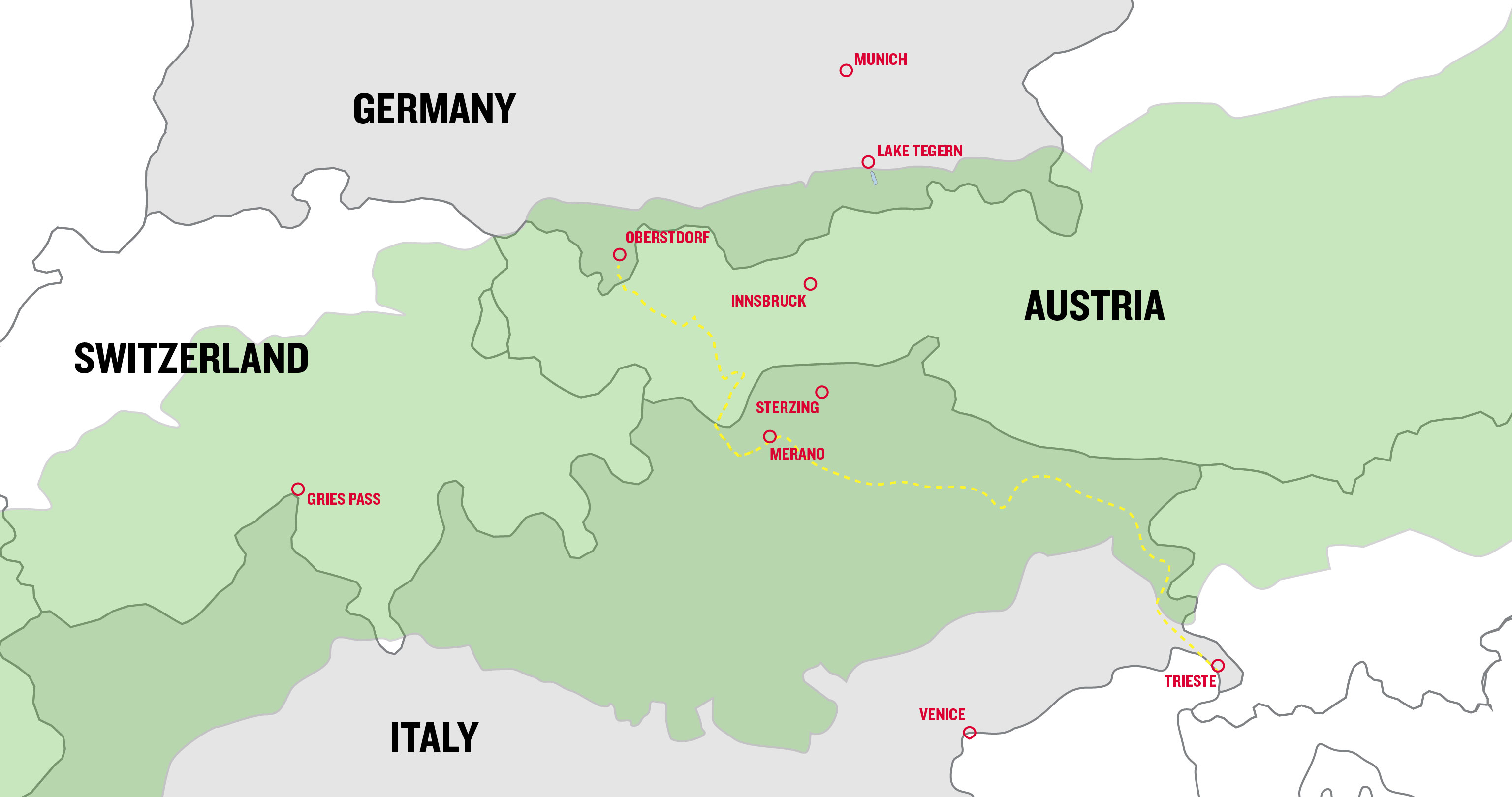
1. The classic E5 Alpine crossing
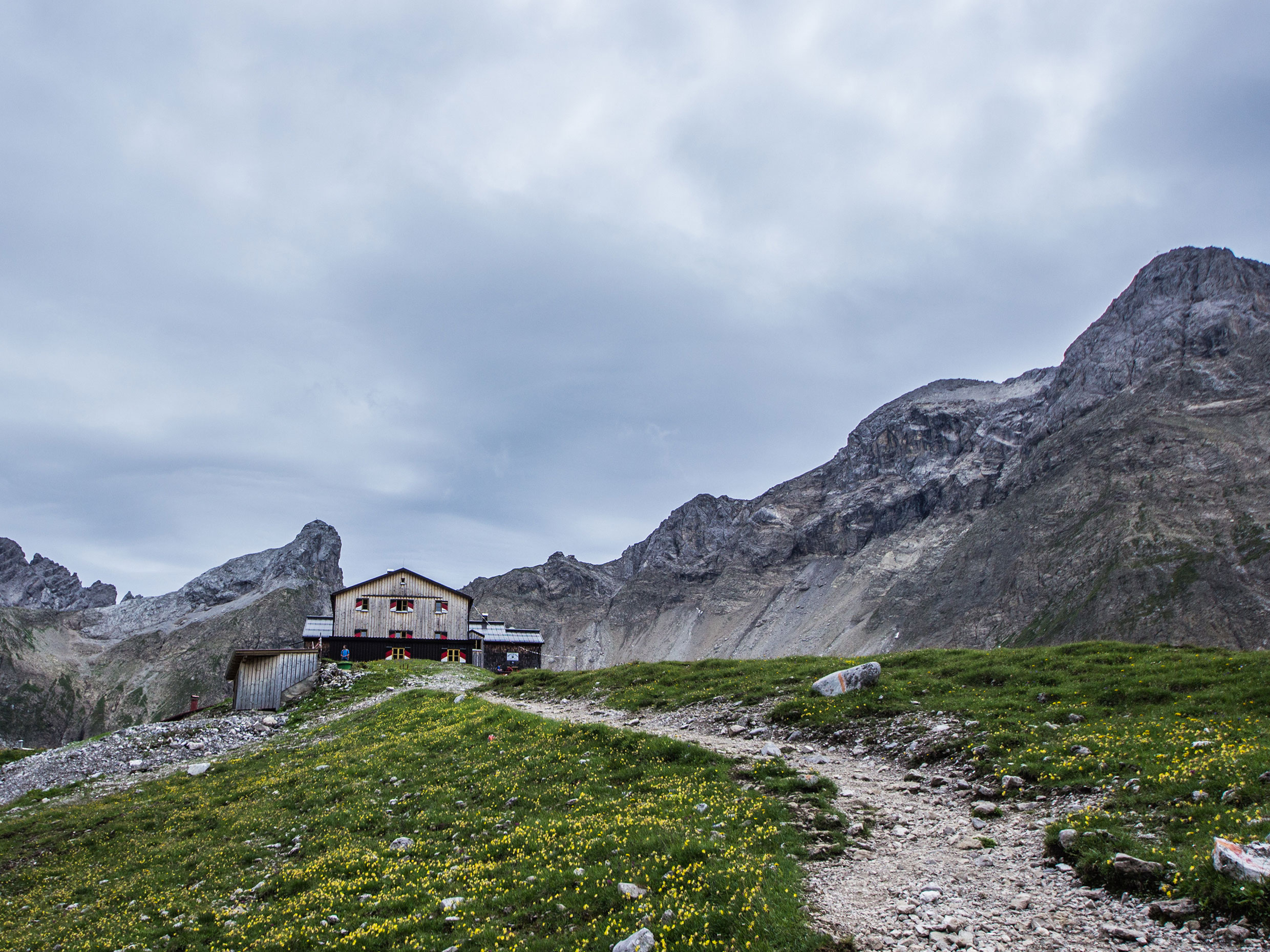
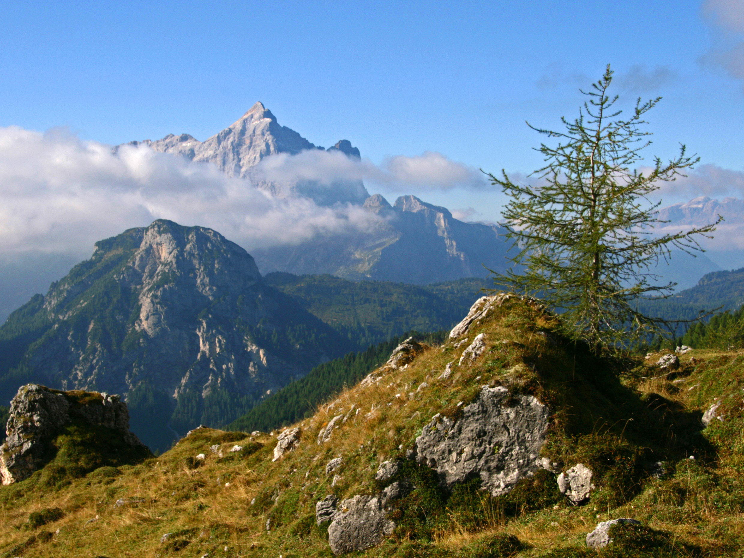
The European E5 long-distance hiking trail stretches from the Atlantic coast in France all the way to Venice. The section between Oberstdorf and Merano has turned out to be the most popular route for crossing the Alps. On the E5, you can cross the Alpine divide in six to eight legs. The exact time required depends on how often you take a bus, taxi, or cable car to speed your hike up. Lots of people crossing the Alps stop in Vernagt after six legs and take the bus to Merano.
The route runs through the Allgäu, Lechtal and Ötztal valleys with their rich tapestry of landscapes. Staying overnight in the Similaun Hut at 3,078 metres is more than just a geographical highlight for people crossing the Alps. In 1991, a mummy called Ötzi, or the Iceman, was found in a nearby glacier. So, people truly are treading paths steeped in history. However, apart from requiring a reasonable degree of physical fitness, these paths aren’t that challenging.
-
Tour data for hiking through the Alps on the E5
Route: 180 km with possible shortcuts
Stages: 6 – 8
Vertical ascent in metres: at least 5,000
Best season: June – September In early summer, any remaining snow fields can make the tour difficult.
Level of difficulty: easy to moderate
What’s required: you need to be fit, surefooted, and sociable
More information about crossing the Alps on the E5
At 180 kilometres, this Alpine crossing is one of the shortest. But even at the destination in Merano, this isn’t the end of the Alps by a long shot. But this South Tyrolean spa town’s flair and climate give visitors that uplifting feeling of being in southern climes.
The E5 trail is so popular that long-distance hikers will certainly not be alone. In July and August particularly, the huts are usually full to bursting and a reservation is a must. Otherwise, you can also arrange to stay in the valley.
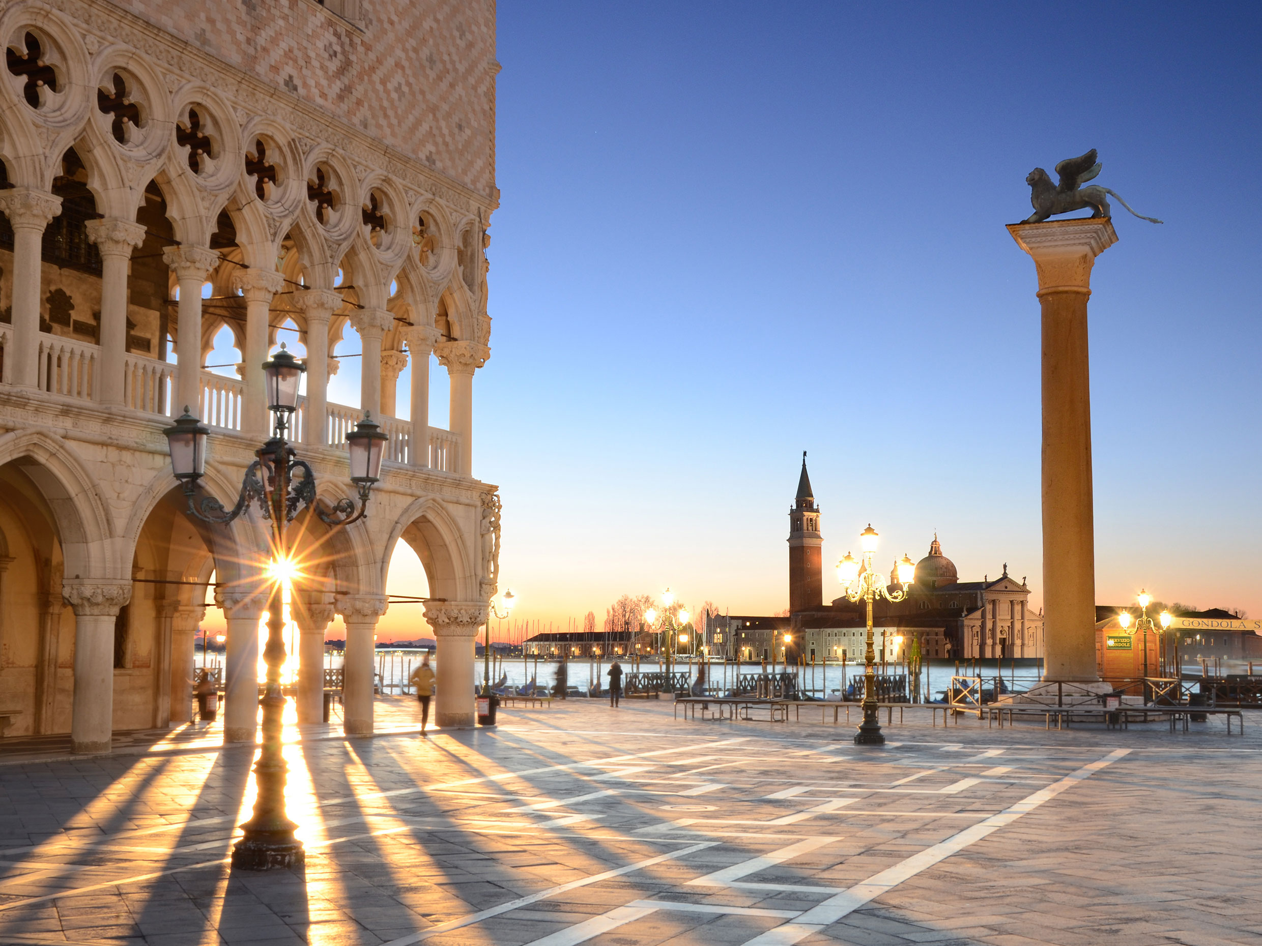
2. Munich-Venice Alpine crossing – the stuff of dreams
Start at Marienplatz, hike over the mountains and arrive at the sea in St. Mark’s Square. It’s no secret that the Alpine trail from Munich to Venice is particularly appealing because of the locations it starts and finishes in alone. At the beginning, in the Bavarian foothills, the route is quite flat. The same is true for the final five days in the Venetian hinterland. The splendour that’s the eastern Alps comes in between, from the Karwendel to the Tux Alps with their views of glaciers to the towering, rocky Dolomites.
With its 30 or so stages, this trans alpine route can easily take up all your annual leave. In addition, it’s advisable to pencil in two or three extra days indoors at huts to allow for rainfall, which is very likely to occur at some time in the month. In return, hikers are likely to experience a trail of a lifetime on this spectacular route.
-
Tour data for the Munich-Venice trans alpine route
Route: 550 km
Stages: approx. 30
Vertical ascent in metres: 22,000
Best season: June – September In early summer, any remaining snow fields can make the tour difficult.
Level of difficulty: moderate to difficult
What’s required: you need to be fit, surefooted, have a head for heights, and alpine experience
More information about the Munich to Venice Alpine traverse
This one’s a lot more physically demanding than the E5. In some cases, it takes hikers over the Alps on narrow and exposed paths. Sometimes, you need to use your hands to scramble. Ludwig Grassler developed the original route in 1977. It even includes a via ferrata in the southern Dolomites on Monte Schiara, but this can be hiked around or bypassed by bus. The 550 kilometres and 22,000 metres in altitude also require people to be at the peak of physical fitness.
Even though it’s more difficult, this route is very popular and busy. In this case too, it’s advisable to book the huts at least a few days in advance, especially in July and August. Unforgettable views from the heart of the Alps are the reward. And savouring a cappuccino in the southern sun while listening to the sound of the lagoon lapping against the side of a pontoon.
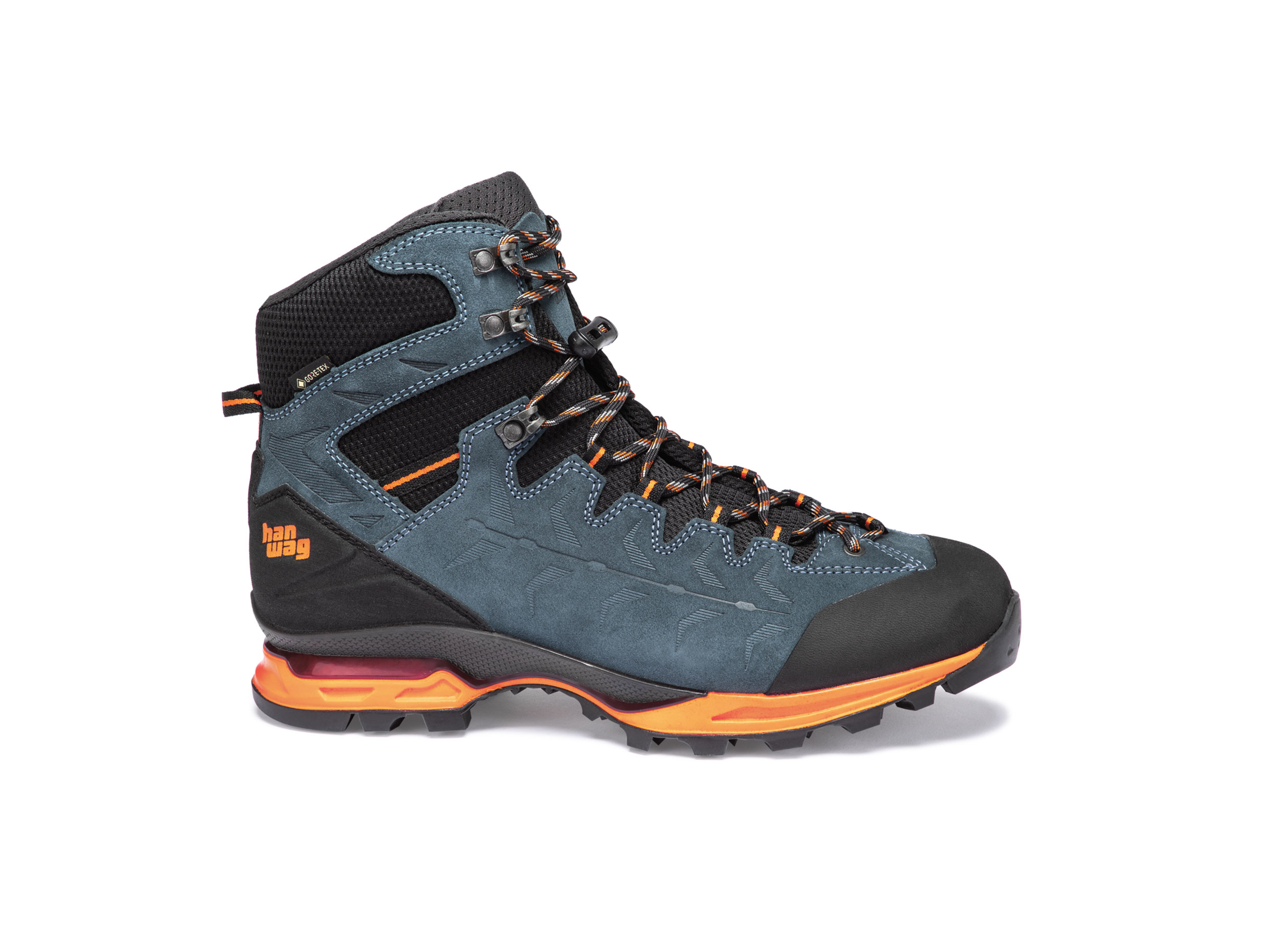
Our mountain boot for your trans alpine crossing: the HANWAG Makra Trek GTX
We developed the HANWAG Makra Trek GTX for long and often demanding treks in the Alps. The sturdy sole design cushions the feet perfectly. The Gore-Tex membrane doesn’t just make the boot waterproof, it also dries quickly. As a result, it’s ideal for hikes, like an Alpine crossing, that last several days. Find out more about the model in our product story, or click on the link for the online shop below.
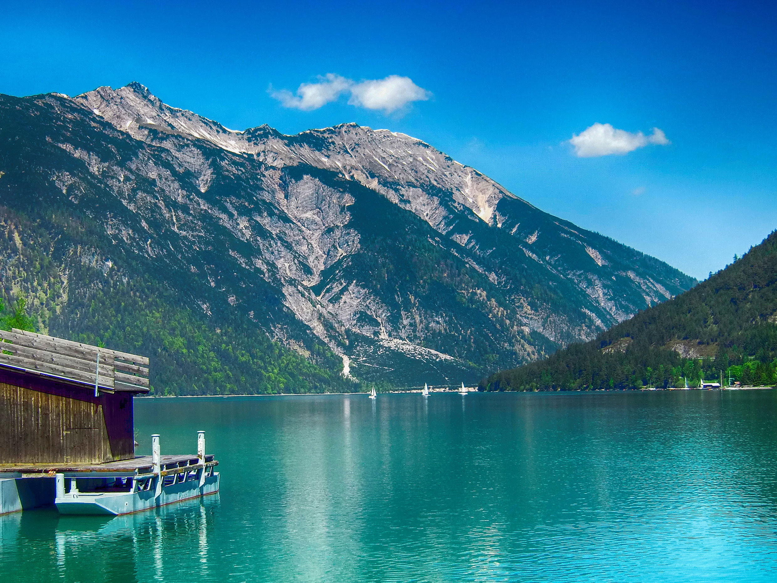
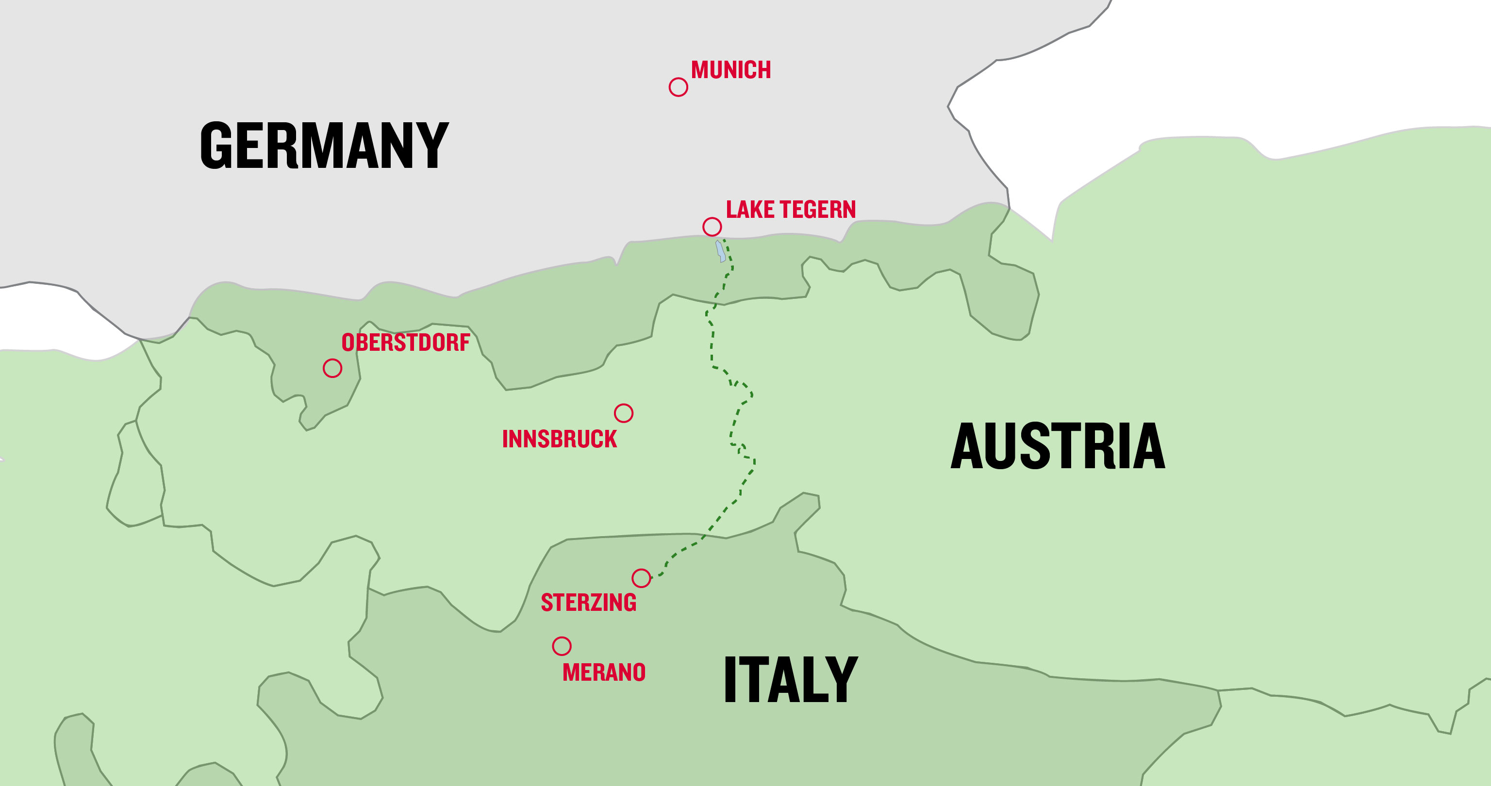
3. For pleasure seekers – The route from Lake Tegern to Sterzing
Looking for a trans alpine crossing for beginners and pleasure seekers? Then the route from Gmund on Lake Tegern to Sterzing in south Tyrol is perfect. This trail stretches over seven stages on easy to moderately difficult paths over the Alpine divide. At 2,275 metres above sea level, the Pfitscherjoch Hut lies at the point where the Ziller Valley and South Tyrol Alps meet and is one of the highlights. There are lots of inns, guesthouses, or hotels in the valleys to stay in.
The whole route covers some 144 kilometres. However, there are lots of ways of taking shortcuts by hopping on a train or bus. As a result, the actual hiking distance might only be 100 kilometres. Some stages are just 200 metres in terms of vertical ascent, but, at 20 kilometres’ distance, are quite long. At 900 metres of vertical ascent, the most exhausting stage is just 11 kilometres long. Any averagely experienced hiker can manage that. Optional luggage transport between the stages also makes the whole undertaking a lot easier.
-
Tour data for the Lake Tegern – Sterzing Alpine trans alpine route
Route: 144 km
Stages: 7
Vertical ascent in metres: 4,500
Best season: June – September, depending on the snow
Level of difficulty: easy to moderate
What’s required: you need to be fit and surefooted
More information about the Lake Tegern to Sterzing trans alpine crossing (official website in German)
Always stay up to date: Subscribe to the HANWAG newsletter and become part of our community.
But this beginners’ route still provides the full alpine experience. Hikers will take in fjord-like Lake Achen, the Tux Alps with a view of the glaciated Zillertaler Alps, the Alpine divide at Pfitscherjoch and the Pfunderer mountains on the South Tyrol side. Culturally, the crossing is also fascinating. Upper Bavaria, North and South Tyrol offer lots of hospitality options and culinary delights.
Planning this trans alpine route is also very easy. Because the tourist associations along the route have joined forces and offer a wide range of services on their own dedicated website, from booking accommodation to trans alpine crossings with guides.
4. For free spirits – Via Alpina Yellow Trail
The Via Alpina trail consists of five colour-coded routes. The Yellow Trail lies to the north, i.e. between Oberstdorf and Merano, just like the trans alpine crossing on the E5. However, in the south it stretches way beyond South Tyrol to the Italian port city of Trieste on the Adriatic.
At some 800 kilometres long and with 40 stages, it’s clear that far fewer long-distance hikers complete this trail than, for instance, the E5 or the Munich-Venice route. Some of the stages, on primarily rough terrain, take 12 hours and definitely test your grit and stamina. Consequently, the Via Alpina Yellow Trail is a trans alpine traverse for very experienced hikers and free spirits only. You’re hardly likely to see many other people very frequently, except on the E5 stages.
-
Tour data for the Via Alpina Yellow Trail
Route: 800 km
Stages: approx. 40
Vertical ascent in metres: 45,000
Best season: Mid-June – mid-September
Level of difficulty: moderate to difficult
What’s required: you need to be fit, surefooted, have a head for heights, and alpine experience
Further information about the Via Alpina Yellow Trail
Anyone who’s more of a free spirit, doesn’t copy everyone else, but hikes in the other direction. In other words, from the southeast to the north west, from Trieste to Obersdorf. With the sun on your back, the scenery you experience en route from Slovenia to Bavaria is full of contrasts. The splendid Julian Alps, the solitude of the Carnic Alps, the Dolomites, the ice-covered mountains of the Ötztal and lovely Allgäu are magnificent examples of nature in all its beauty and Alpine cultures.
And anyone who gets bitten by the bug for hiking through the Alps after following the Via Alpina Yellow Trail, might like to do the Red, Purple, Green, and Blue one…
More info and tips about the fascination of thru-hiking
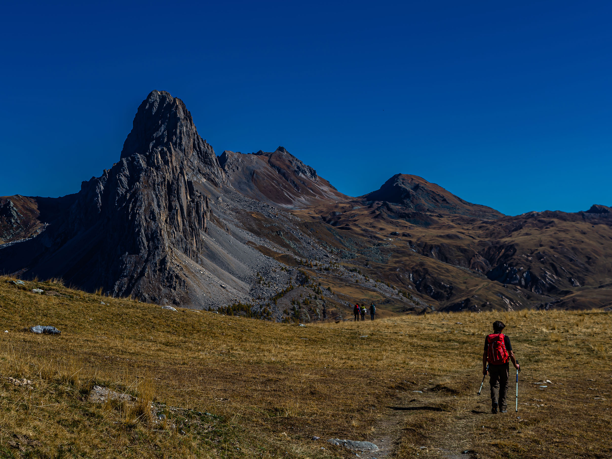
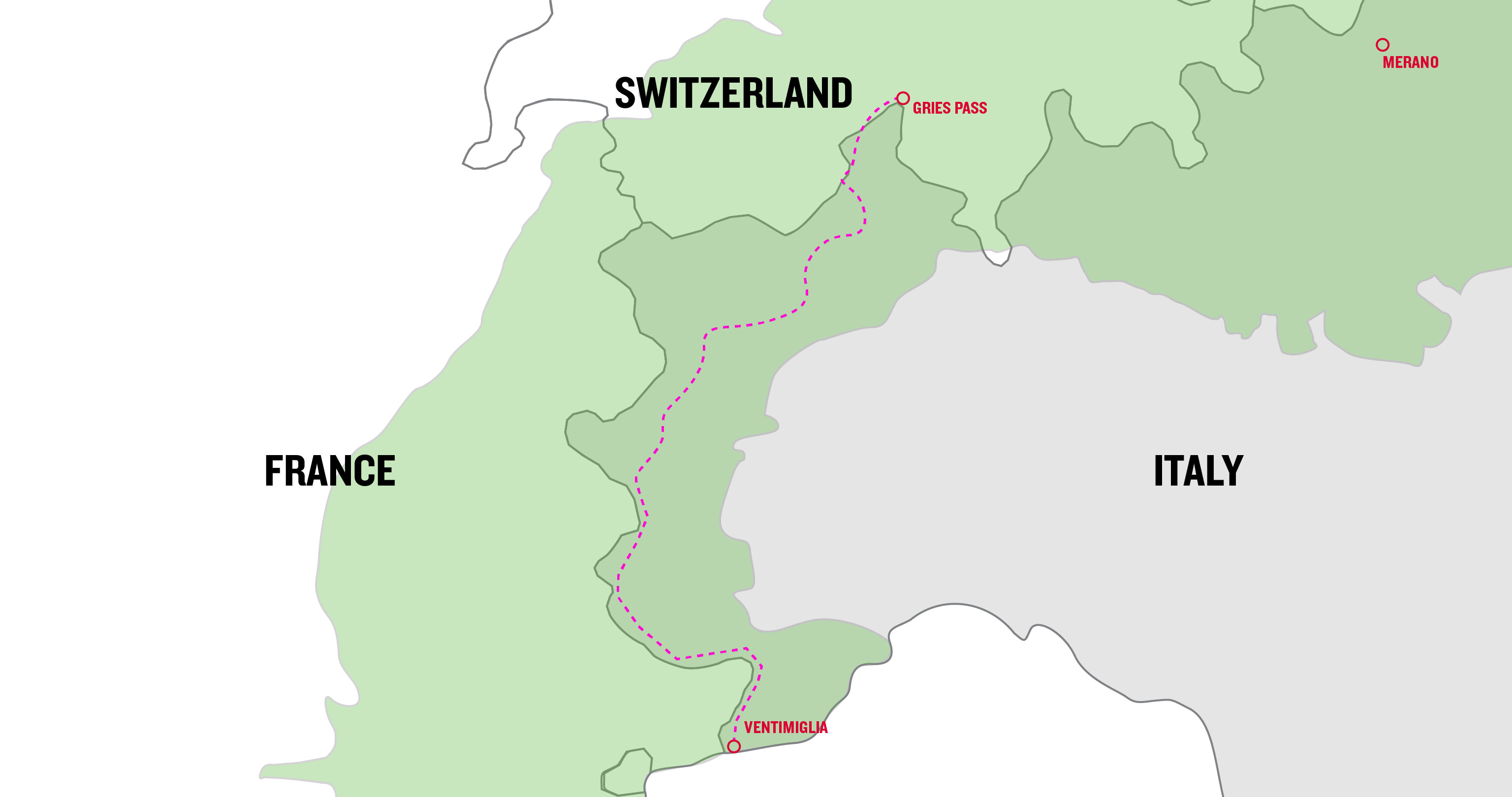
5. For the adventurous – the Grande Traversata delle Alpi
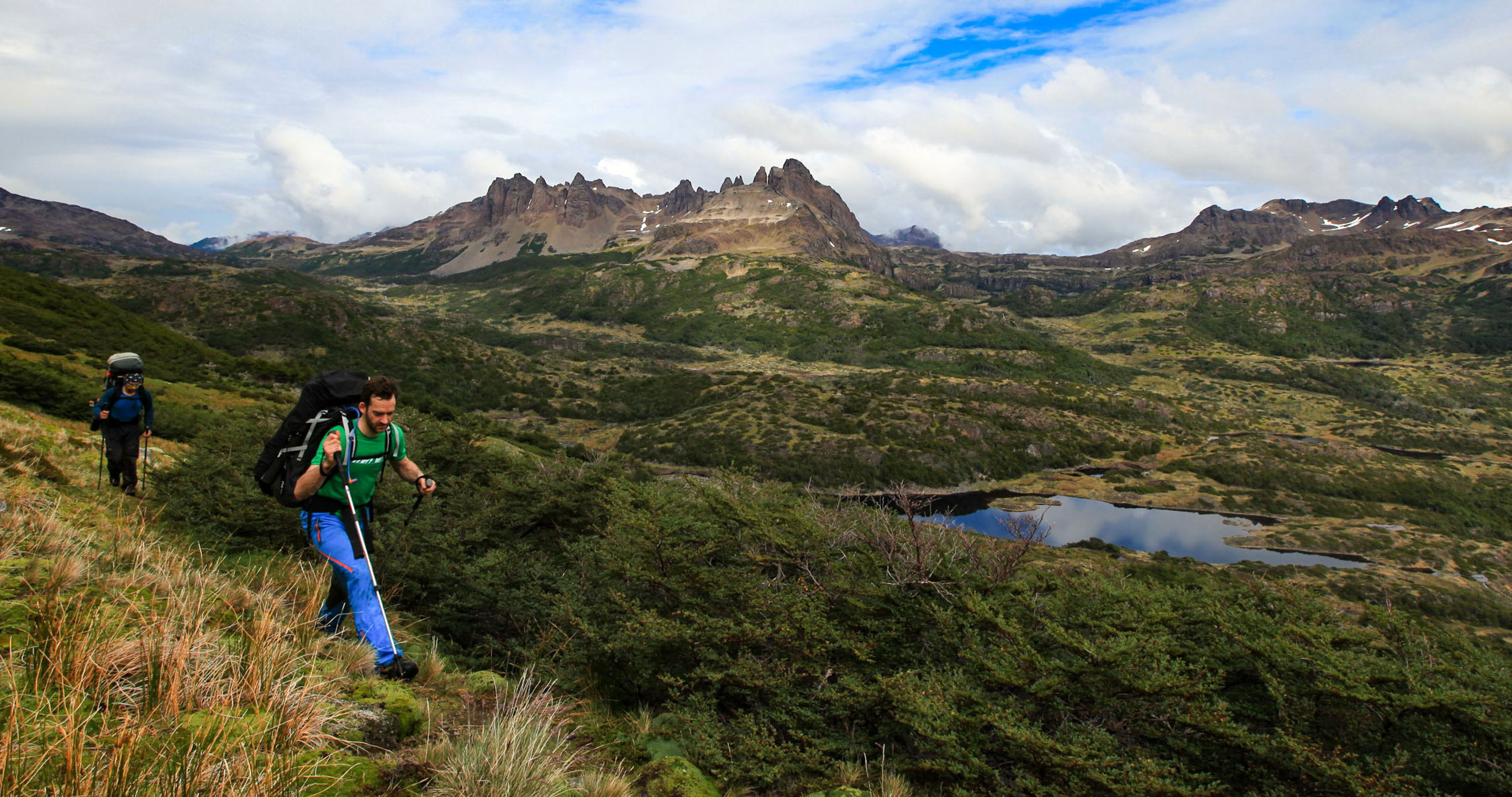
The trans alpine crossing routes mentioned so far have all been in the eastern Alps. From there, you can get from the northern to the southern side of the Alps relatively quickly. It’s quite a different story in the western Alps. Anyone who wants to hike from the north to the sea, needs to traverse all the western Alps. And that’s exactly what the Grande Traversata delle Alpi (or GTA for short) does.
At approx. 1,000 kilometres long and with 65 stages, the GTA takes a whole season. What’s more, it involves a vertical ascent in metres of around 65,000. The trans alpine route does, admittedly, only seldom pass through particularly demanding terrain. However, the physical demands and lack of infrastructure alone make the GTA an adventure solely for the very fit and those requiring few creature comforts. Hardly any GTA hikers complete this crossing of the western Alps in one go, most of them only complete parts of it.
-
Tour data for the GTA
Route: approx. 1,000 km
Stages: approx. 65
Vertical ascent in metres: 65,000
Best season: June – September, depending on the snow
Level of difficulty: moderate to difficult
What’s required: you need to be fit, surefooted, have a head for heights, and alpine experience
More information about the Grande Traversata delle Alpi
The vast and mostly deserted landscape of the western Alps is the reward for all the effort put in. The crossing starts in the Gries Pass in Switzerland. And while hikers usually have quite a lot of company in the Valais Alps at the beginning, it gets lonely in the Graian and Cottian Alps later on. Only a few mountaineers are encountered at these altitudes. And in the Piedmont valleys many villages are abandoned. Nevertheless, there are plenty of chances to savour the tasty cuisine this Italian mountain region has to offer.
The Maritime Alps already hint at the ever-nearer destination of the long-distance hiking trail. At Ventimiglia, the path drops steeply from the mountains to the Mediterranean. And once you’ve dived into the water after weeks in the mountains, you’re done.
Conclusion: There is an alpine crossing for each type of hiker
And what’s your take? What alpine traverse type are you? You certainly don’t need to be a top athlete to make your dream of crossing the Alps on foot come true. There are short and easy routes that just require a good level of fitness and love of the outdoors. Alpine challenges turn other routes into thrilling and epic adventures. Besides, crossing the Alps is a good way to build up your strength and take a slightly more demanding route the next time. Because the addictive nature of long-distance hiking is the biggest risk.
-
Tips for trans alpine crossing gear
We’ve already presented the most important gear for hiking through the Alps above and that’s a pair of well broken-in hiking boots like our HANWAG Makra Trek GTX (–> More about breaking in hiking boots). Reduce to the max is the most important rule of what else to pack. Because mountain hikers are usually carrying their gear on their backs. And that’s when every gram counts.
You need clothing and equipment to protect you from the cold, bad weather and in the event of injury or emergency up in the mountains. On the other hand, it’s easy to save weight on nice-to-have items. So, you can sleep in a t-shirt (tip: merino wool doesn’t get smelly as quickly), particularly if you can do your laundry en route.
Here’s a rough alpine traverse packing list:
- Hiking boots/trekking boots (–> How to find the perfect fit)
- Two pairs of hiking socks (–> What hiking socks to buy)
- Long hiking trousers or zipped trousers, fast drying
- Waterproof trousers
- One or two sets of underwear. Merino wool doesn’t get smelly as quickly and synthetic fibres dry faster. Tip: when out in the fresh air in daytime, wear underwear made of fast-drying synthetic fibres that you can wash out in the hut in the evening. And keep a fresh-smelling set made of merino wool for the evenings. But never wear a vest made of cotton because it dries too slowly.
- A warm garment (e.g. a fleece pullover) as a middle layer
- A waterproof rain jacket
- Wear an additional warm layer, such as a lightweight insulated jacket, for those cold days or when you stop for a rest on trail. It shouldn’t be too bulky, but easy to pack down small and fit underneath a rain jacket.
- Gloves, cap, neck gaiter (which could also be repurposed as a scarf)
- A cap or a hat to keep the sun off your head
- Sunglasses
- Telescopic trekking poles
- Backpack with approx. 30-40 litres of capacity and a rain cover
- Lightweight trousers, t-shirt and perhaps a lightweight pullover to wear in huts
- A hut sleeping bag, made of silk or a wool-silk blend
- Lightweight slippers for the huts
- A first-aid set and bivvy sack (one for each person)
- Headlamp
- Maps and/or GPS tracking on your mobile phone/GPS device (don’t forget the charger cables)
- Sun cream
- Toiletries, medication, plasters for blisters (–> How to prevent blisters while hiking)
- Ear plugs (vital with fellow snorers in the dorm…)
- Spare laces
- Lunch box
- Bars and snacks (e.g. trail mix)
- A water bottle or hydration system with at least 1 (or better) 1.5 litres of capacity; but take more in the heat of the summer
- Cash (hardly any huts accept cards)
- Small bag for rubbish

Ingo Wilhelm
You’ll find him hiking, mountain biking or ski touring. Mainly in the Alps. Favourite destination: Iceland.