Hiking Germany’s Green Belt Part 3: Rhön
Updated on
Hiking the German Green Belt (‘Grünes Band’). The former border that separated East and West Germany is nearly 1,400 kilometres long. Thorsten Hoyer did it in one go. And shares his hike through German history in five chapters.
Part 3: Concrete slabs and wild woods
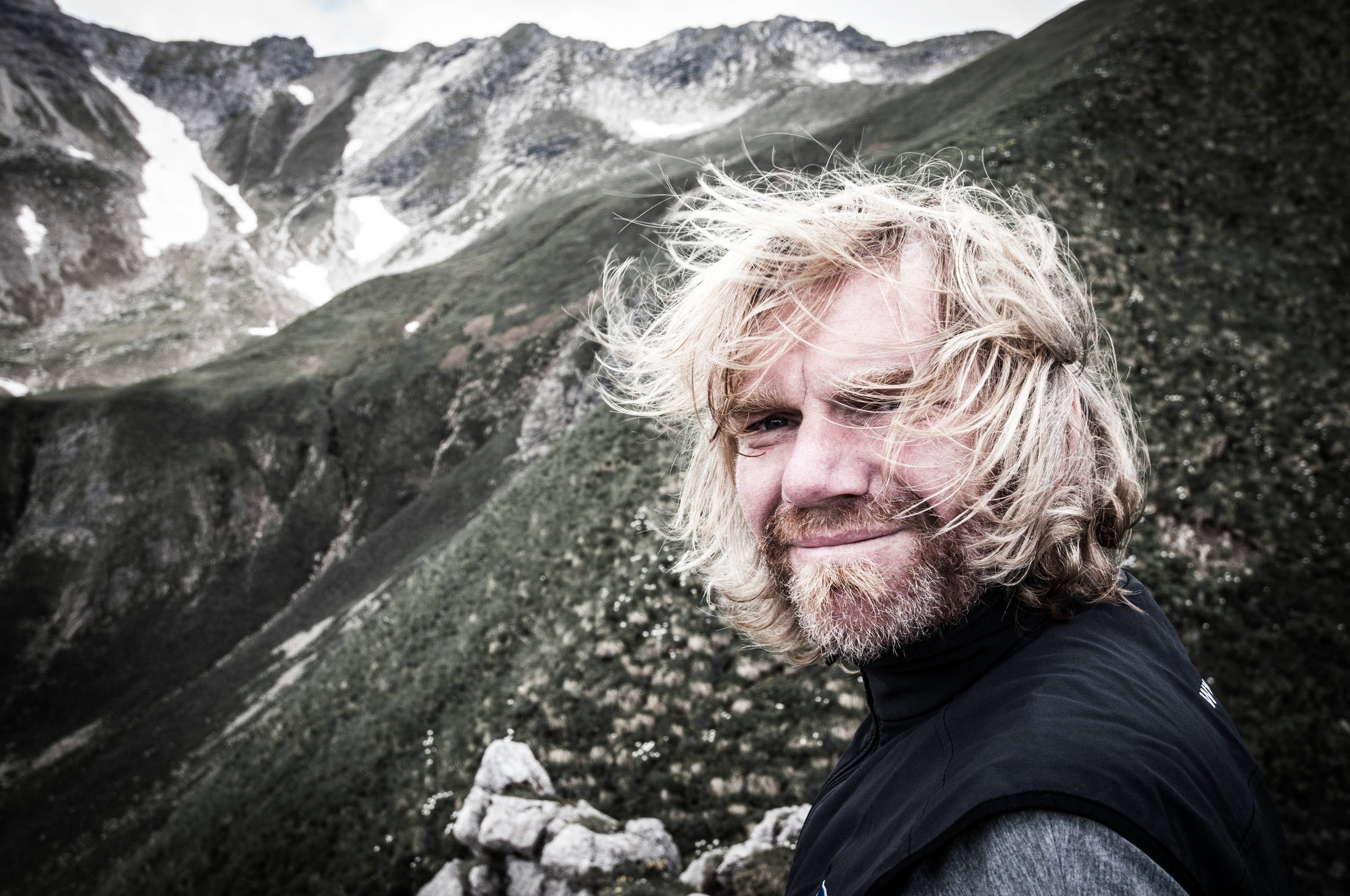
Thorsten Hoyer: He’s one of Germany’s best-known long-distance hikers – and a member of the HANWAG Sole People team (–> Thorsten Hoyer Portrait). Thorsten was born in Hesse, in western Germany, but now lives in Erfurt in the eastern state of Thuringia. He’s best known for his non-stop hiking tours – including the Green Belt, which he hiked in 24 days.
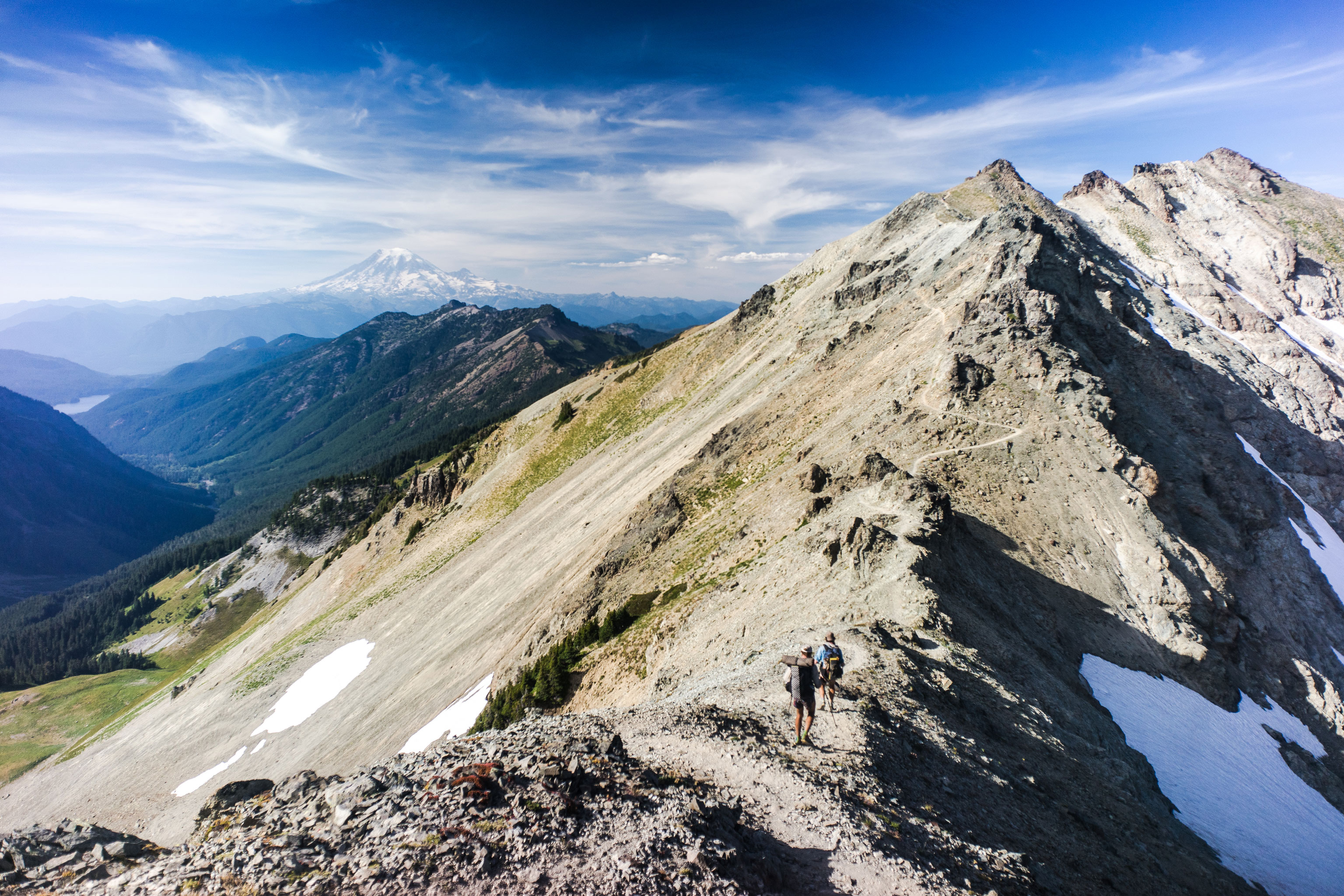
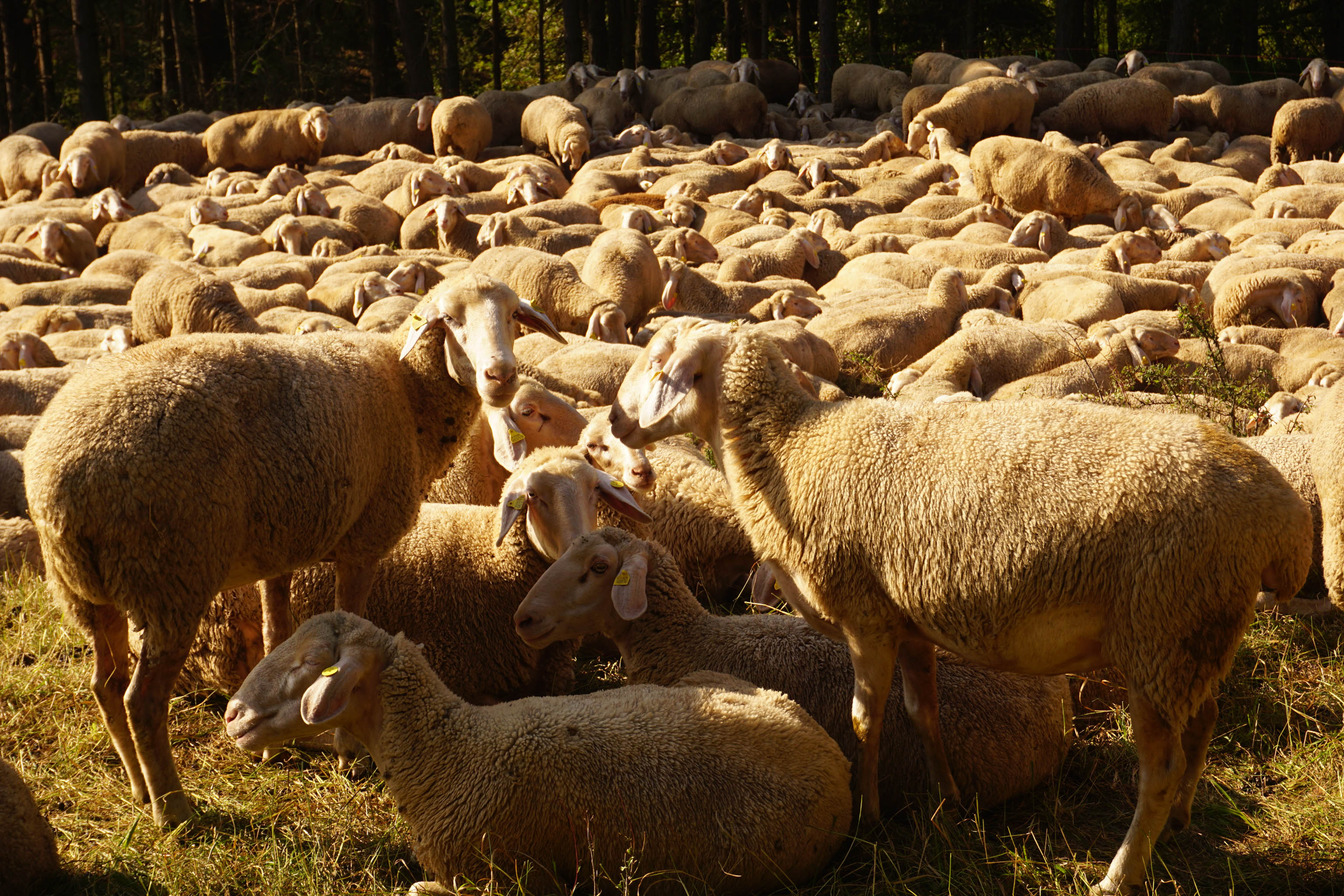
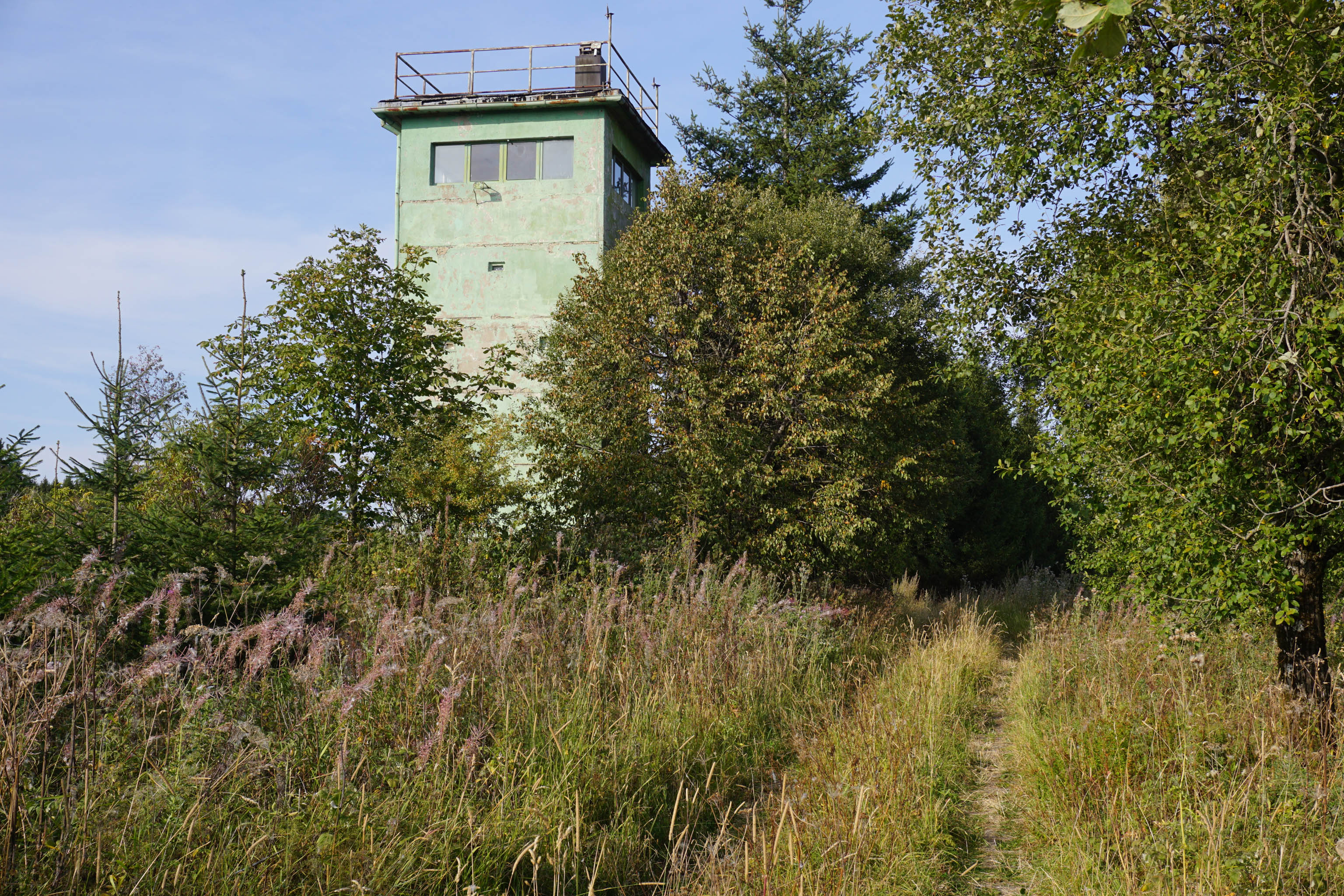
The section of the Green Belt along the border between Thuringia and Bavaria is flanked by the green spruces of the Franconian Forest and the Thuringian Forest. The view is particularly impressive from the watchtower at Thuringer Warte in Lauenstein.
As I stand here in the evening sunshine, the sun’s deep golden rays light up the surrounding woods. The former inner German border used to be a barren swathe cut through the trees. Now it’s home to a young birchwood. The sun is going down and my thoughts are wandering.
It’s mid-September, yet it’s almost 30°C and set to remain warm. Climate change is forcing the woods to change and adapt here too, although maybe less obviously than in other mountain ranges in Germany. Old structures fail and get swept away.
"Climate change is forcing the woods to adapt."
Thorsten Hoyer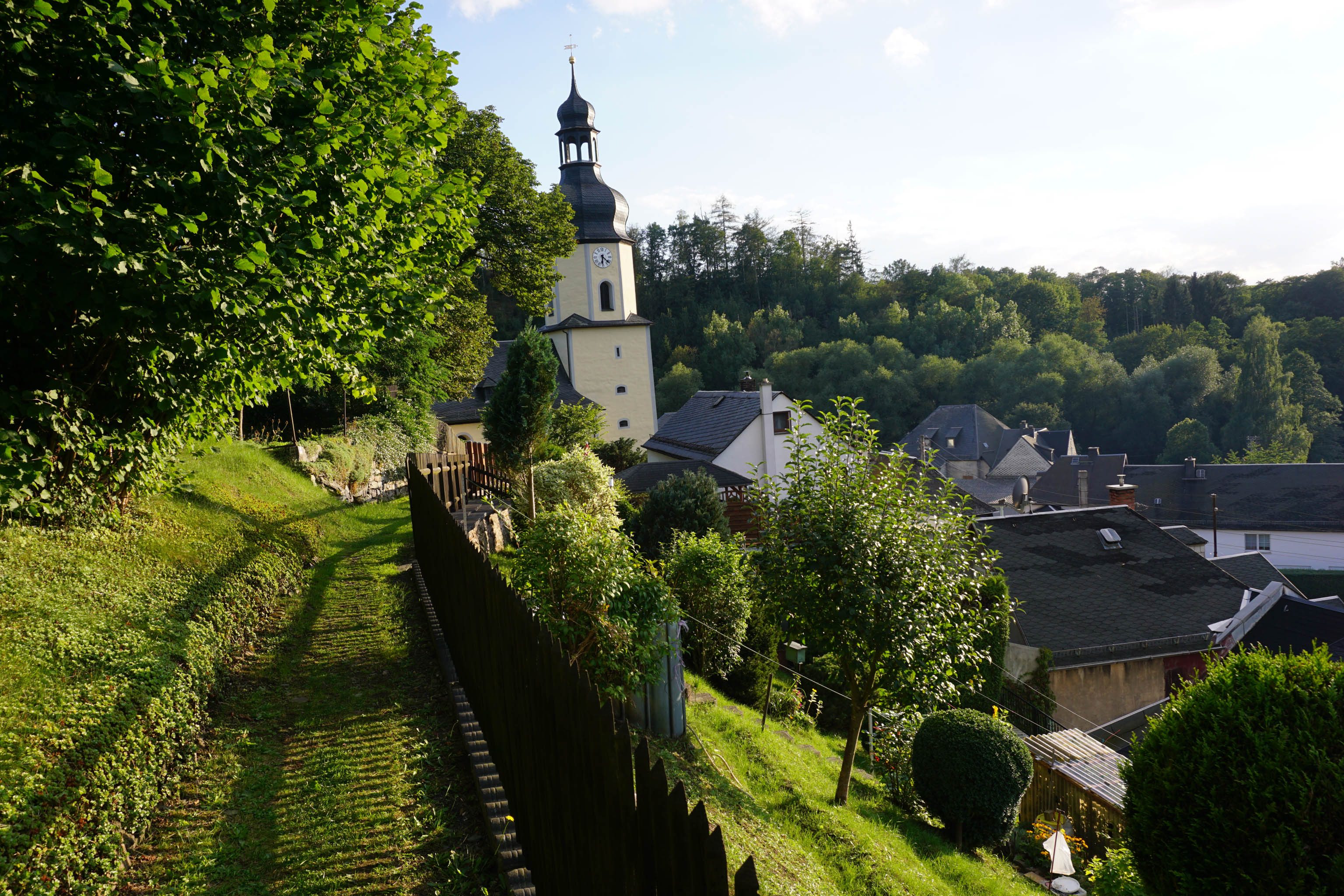
Hiking Germany’s Green Belt with Thorsten Hoyer: Chapter overview
–> Part 1: Why hike Germany’s Green Belt?
–> Part 2: Green Belt: The former border in Thuringia
–> Part 3: Heading for the Rhön mountains
–> Part 4: From the Rhön to the Harz
–> Part 5: The call of the sea and the call of freedom
Looking out from my watchtower, I can see the strip of young, green beeches that now show the way. It’s important to maintain perspective like this in life too, to be mindful of change and to maintain the ability to move on and leave old, well-trodden and maybe even much-loved ways behind. As long as these decisions are not forced upon us, they can bring us joy and freedom.
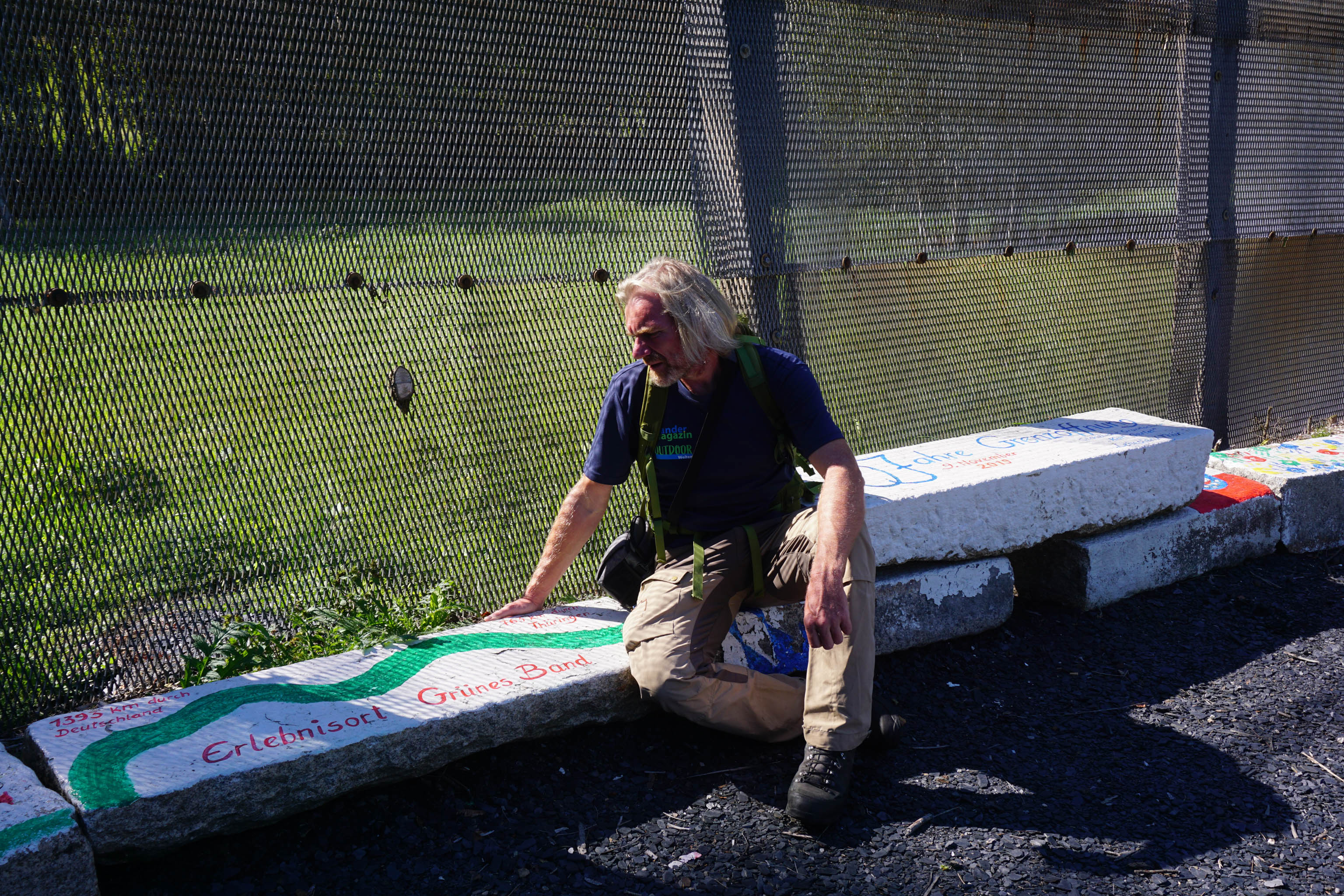
When the inner German border was opened in 1989, it left a 1,400–kilometre long corridor that is 500 metres wide in places, and which had largely been left untouched for over 40 years. Today, it is still mostly unspoilt. On both sides of the border there was a strict exclusion zone. It was hard for people, but a blessing for flora and wildlife.
During the Cold War, the border strip became an area of unique natural diversity. When the border reopened, it became possible to access the area once more, which brought with it the danger that it might be used again. The long-awaited freedom for the people of East Germany threatened to damage the fragile ecosystems that had developed here.
You can find a lot of information about the Green Belt on the BUND website (in German only).
The German ecologist Prof Dr Kai Frobel was first to recognise the importance of permanently protecting this area. He brought together key decision makers from both German states as early as 1989. It is thanks to his dedication and commitment that Germany’s Green Belt is now an important nature reserve and home to valuable ecosystems and extraordinary biodiversity.
During my hike, the German Ministry of Environment declared Germany’s Green Belt as a ‘national nature monument’ and awarded Kai Frobel the Federal Cross of Merit.
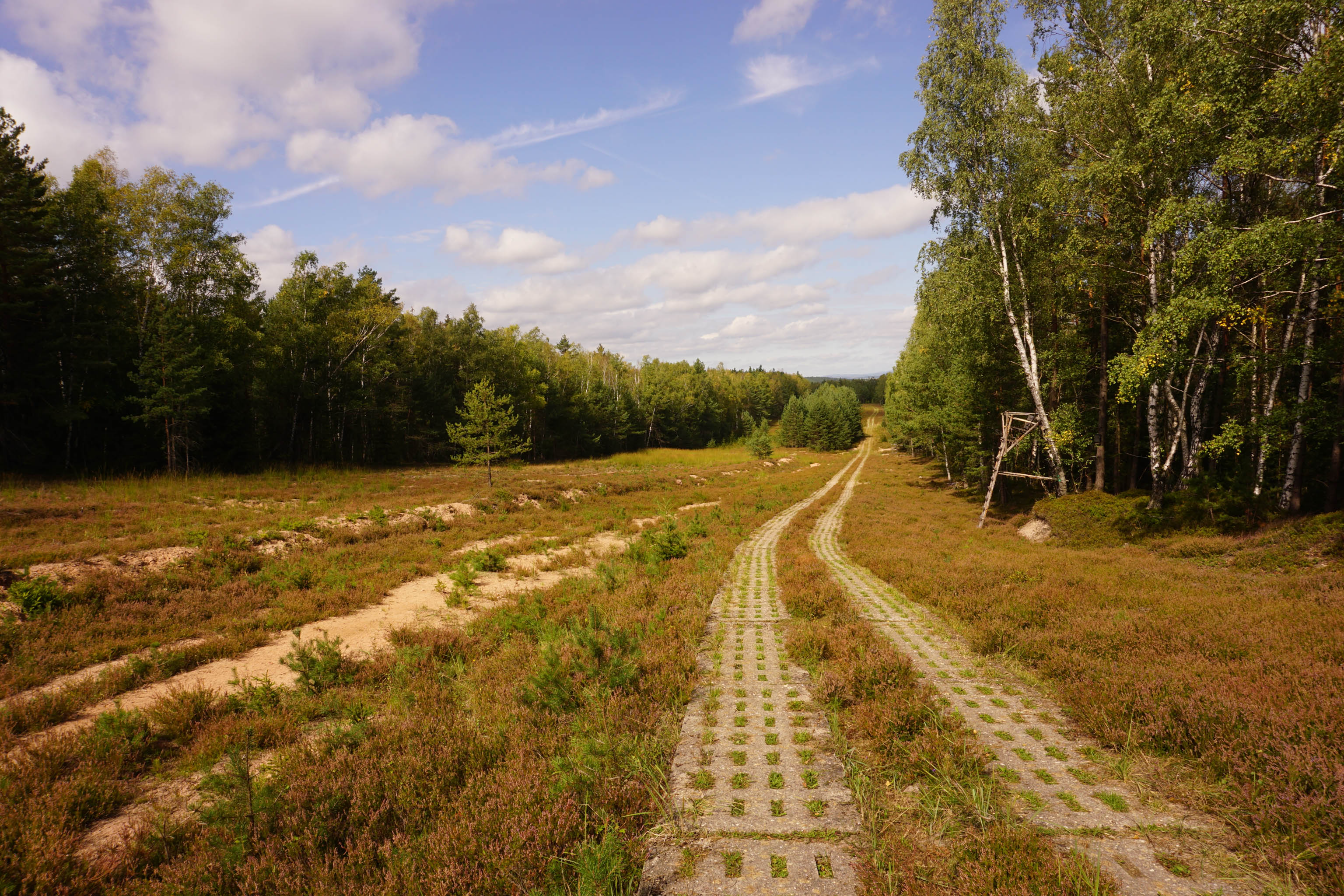
“I make my way steadily along the former patrol road – slab by slab.”
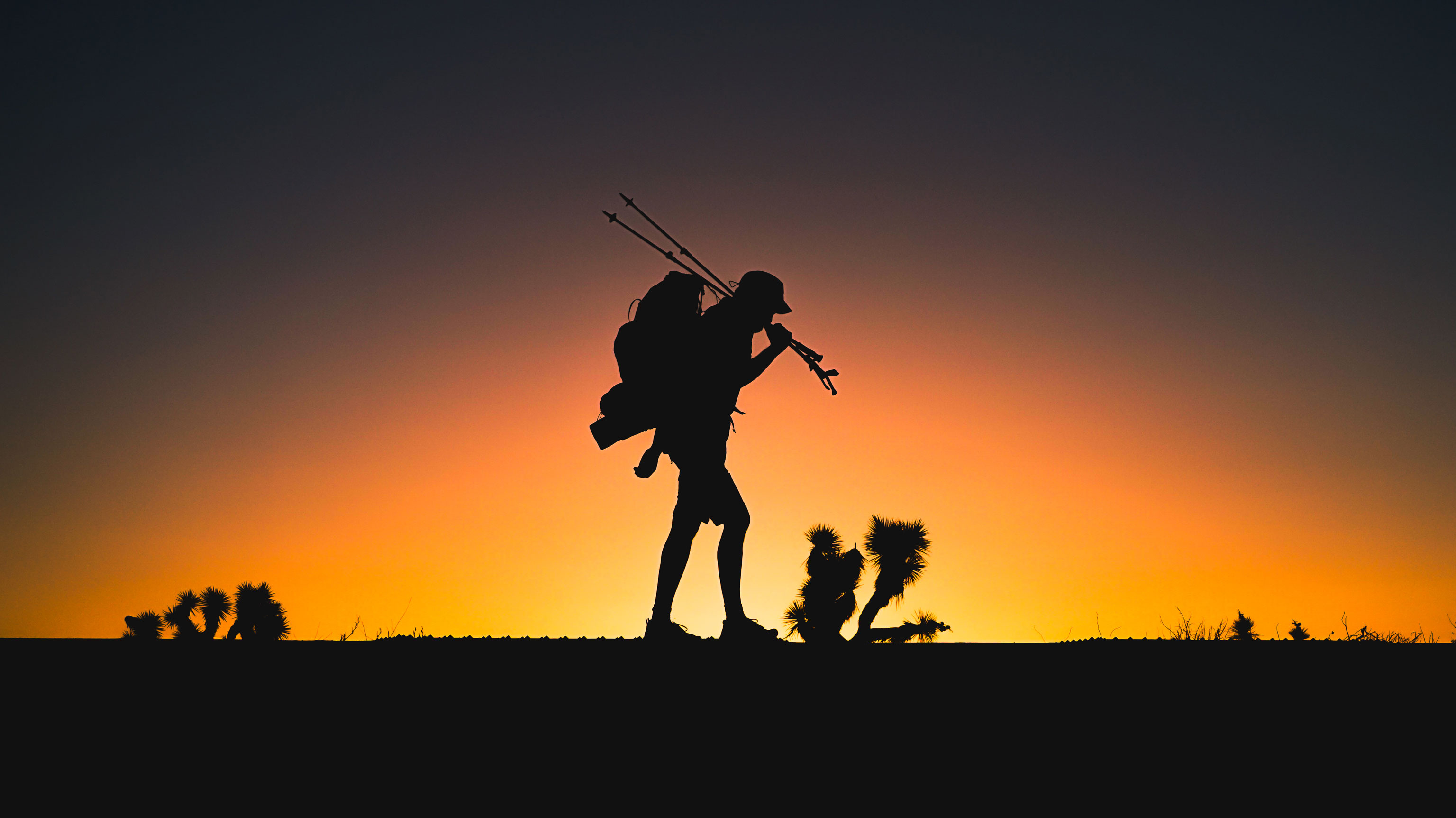
Thorsten HoyerI make my way steadily along the former patrol road – slab by slab. It’s now the second week of September and temperatures have again risen to over 30°C. In the Coburg/Rennsteig region, the Green Belt is easy to see. It’s a broad, shadeless, sandy strip with sections of heathland and a perfectly preserved patrol road. I’ve been walking for days and have yet to see another soul. From dawn to dusk, I am accompanied by buzzards.
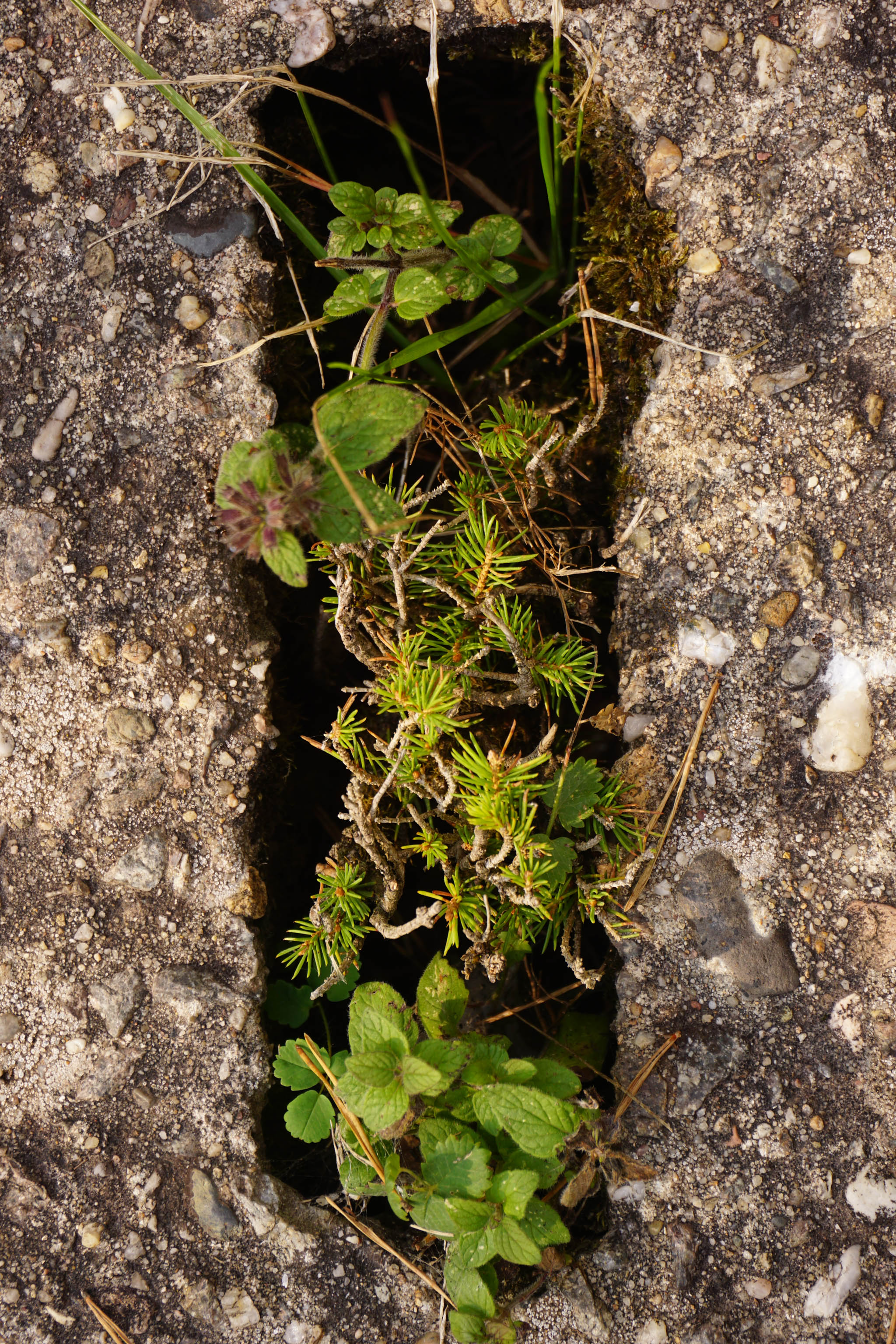
As the nearest towns and villages are pretty far off, I need to be careful with my water consumption. The sun beats down relentlessly from a clear, blue sky. I have no hat with me, so I use my umbrella as a parasol. After a while, I notice the gaps in the latticed concrete slabs under my feet – they are full of wildflowers. Where there are no woods, I gaze out across the fields. The harvest is over. In the distance I see a farmer driving a tractor; clouds of dust billowing up from the parched earth.

Somewhere in the distance, a church bell rings. I pause for a moment, sit down on the edge of a slab and rummage in my backpack for a few nuts. Closing my eyes, I’m taken back to my childhood: sitting on the grass at the edge of our village with my dog, listening to the even toll of the church bell.
However the concrete patrol road is not very comfortable to sit on. Neither is it comfortable to walk on. The gaps and the overgrown edges mean you have to tread carefully. If you don’t watch your step, you could easily twist an ankle.
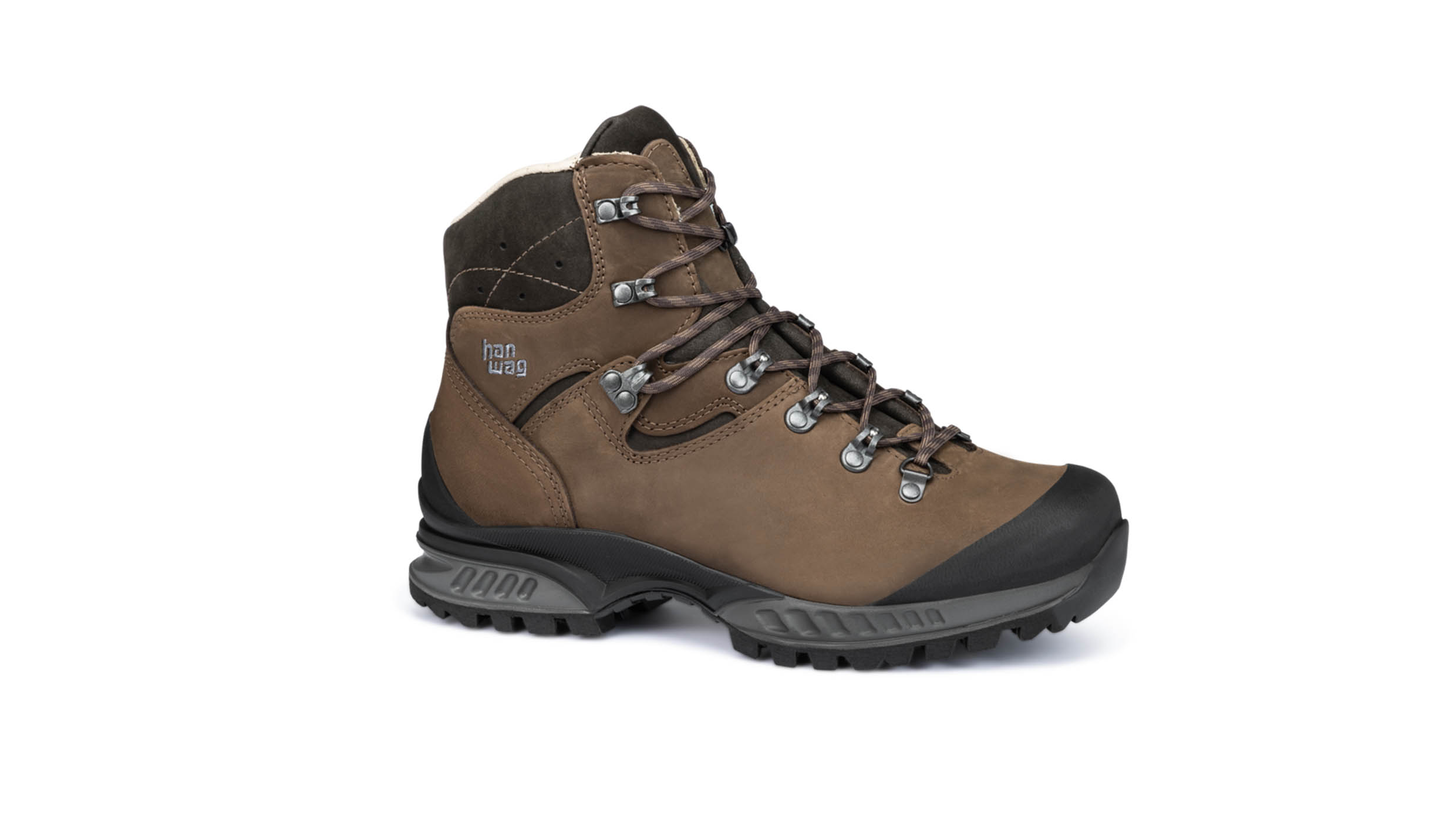
My right boot has a fresh ‘battle scar’ after a clumsy stumble. The hard concrete is tough going. At least I can keep a kind rhythm up thanks to my size 46 feet. The patrol road is definitely no walk in the park. Though maybe this is the way it should be. After all, for many decades the inner German border caused so many people so much pain. I’ve no intention of giving up.
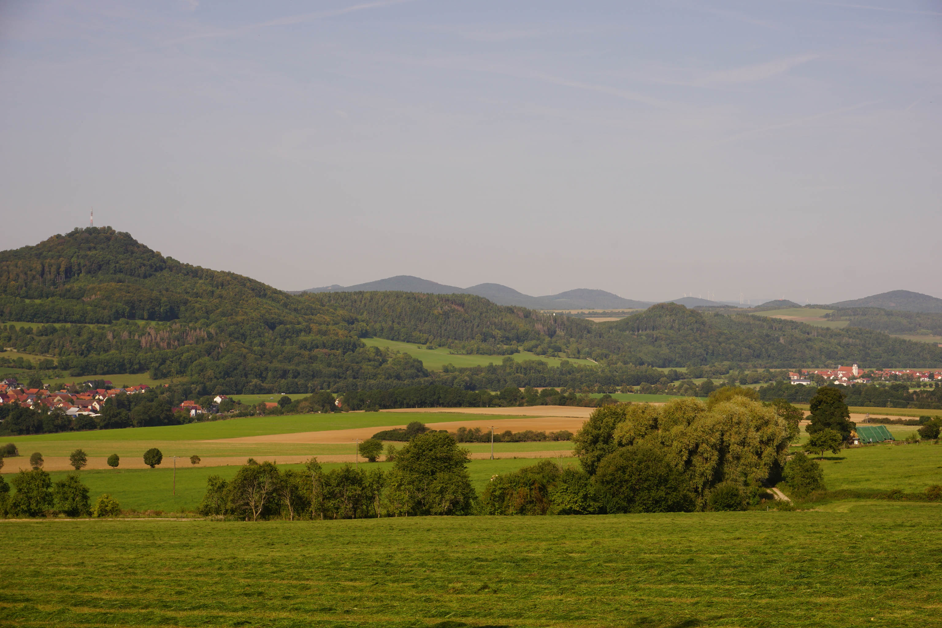
Heading to the Rhön – in a flow state
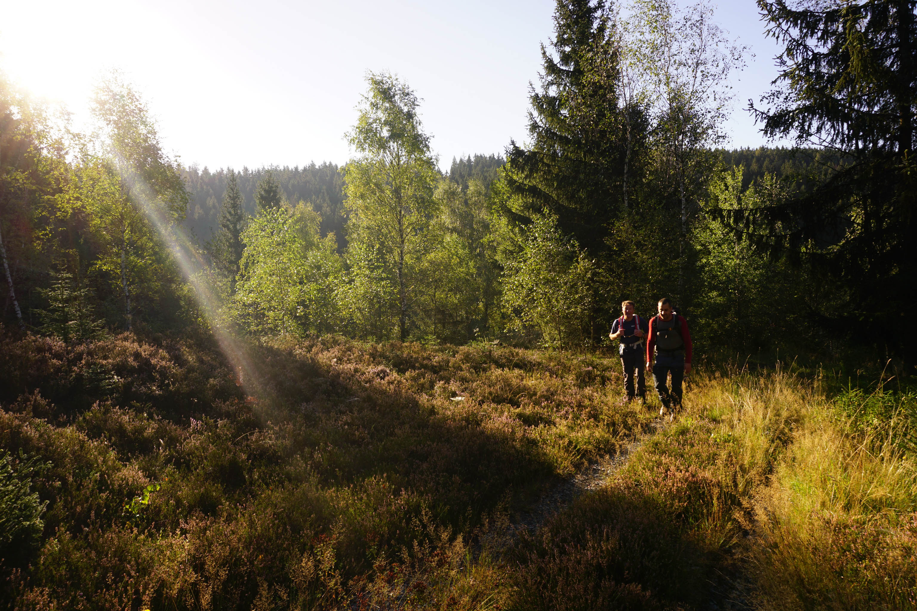
By the time I reach the Rhön Mountains, I’m in a state of flow. My daily routine: hike, eat, sleep – and repeat. I’m still amazed at how the countryside is slowly changing day by day. And by just how much ground it’s possible to cover on foot.
Despite covering some 50 kilometres a day, I feel very aware of everything around me and notice how the difference in the landscape makes me feel. I’m covering long distances, but at my own speed. This is my own personal path to freedom.
Follow Thorsten Hoyer on his journey – read the next chapter