Part 4: From the Rhön Mountains to the Harz Mountains
Updated on
Hiking the German Green Belt (‘Grünes Band’). The former border that separated East and West Germany is nearly 1,400 kilometres long. Thorsten Hoyer did it in one go. And shares his hike through German history in five chapters.
Part 4: From the Rhön Mountains to the Harz Mountains
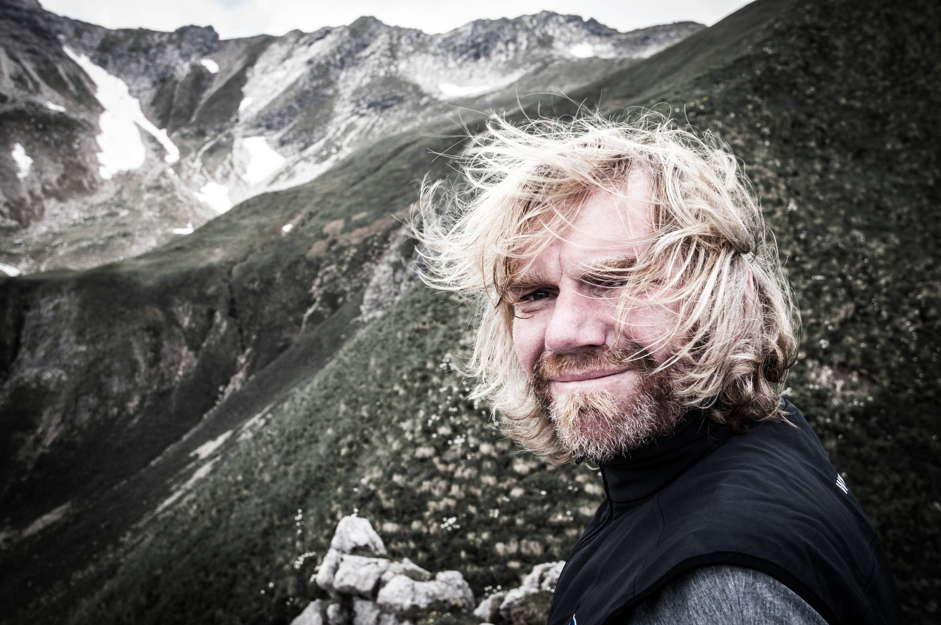
Thorsten Hoyer: He’s one of Germany’s best-known long-distance hikers – and a member of the HANWAG Sole People team (–> Thorsten Hoyer Portrait). Thorsten was born in Hesse, in western Germany, but now lives in Erfurt in the eastern state of Thuringia. He’s best known for his non-stop hiking tours – including the Green Belt, which he hiked in 24 days.
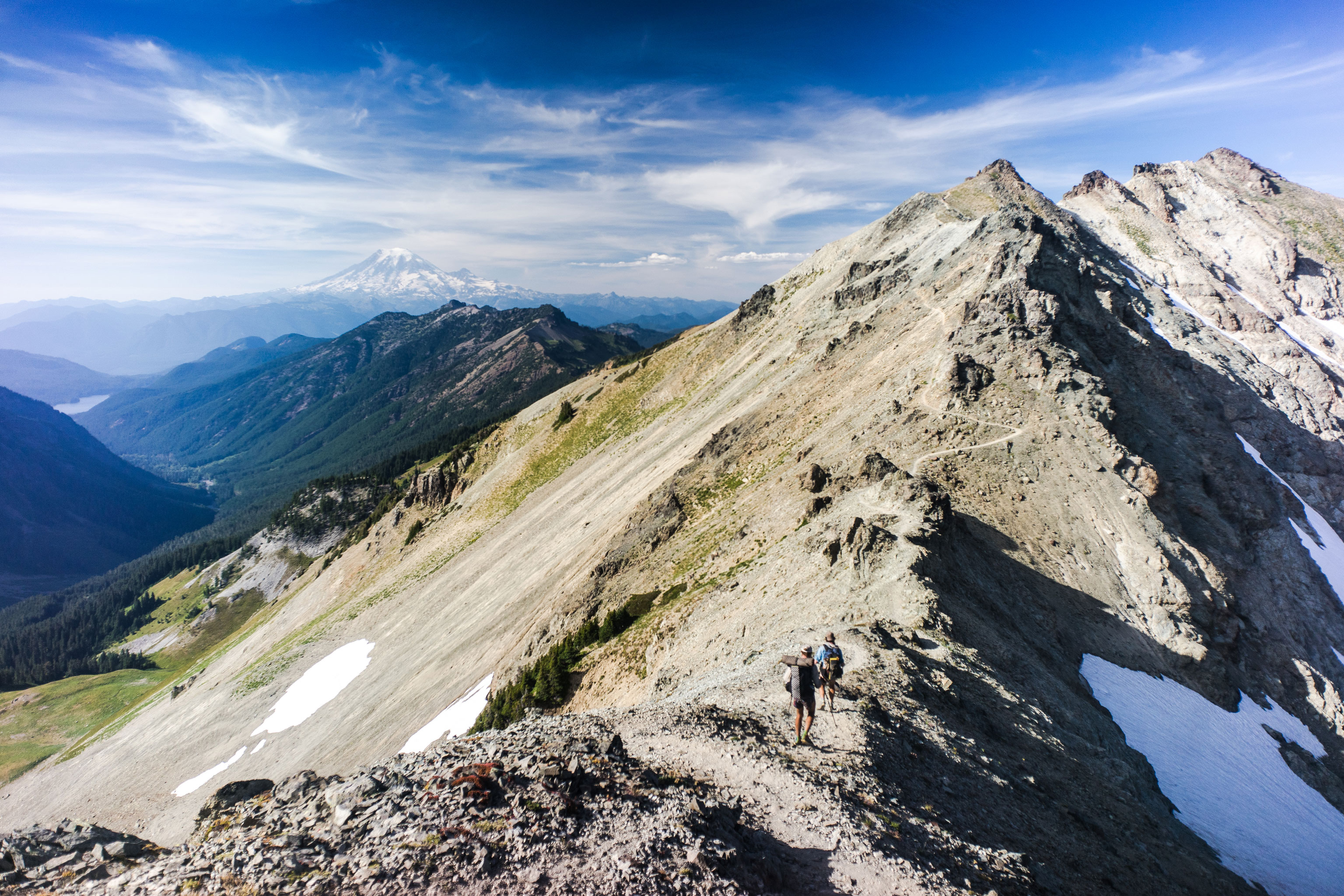
After days of hiking on my own, I reach the Rhön Mountains – Philippe, the filmmaker accompanying me, is taking a break. During preparations for my long-distance hike along the former inner German border, I identified a number of waymarks. Some of them are points of historical significance, while others are more symbolic for me personally, as milestones that mark different sections of my route. They serve as waymarks on the imaginary map in my mind. They are the markers I use to keep my motivation up. So I can say to myself,: “Hey, you’ve made it this far. Now keep going!”
The Rhön Mountains are one of these important waymarks. They are the point where my route changes direction. Instead of hiking from East to West, I head from South to North. They are also a ‘Dreiländereck’ – a point where three German regions meet – marking the converging borders of Bavaria, Thuringia and Hesse. However, it’s not just the three-border triangle that’s waiting for me. Christian Wittig, head of marketing at HANWAG is coming to meet me too. Chris and I have known each other for years. He’s also a dedicated hiker. He comes from the Rhön area and just couldn’t resist joining me on the trail for a few days.
A place for peace, freedom and reflection
Hiking Germany’s Green Belt with Thorsten Hoyer: Chapter overview
–> Part 1: Why hike Germany’s Green Belt?
–> Part 2: Green Belt: The former border in Thuringia
–> Part 3: Heading for the Rhön mountains
–> Part 4: From the Rhön to the Harz
–> Part 5: The call of the sea and the call of freedom
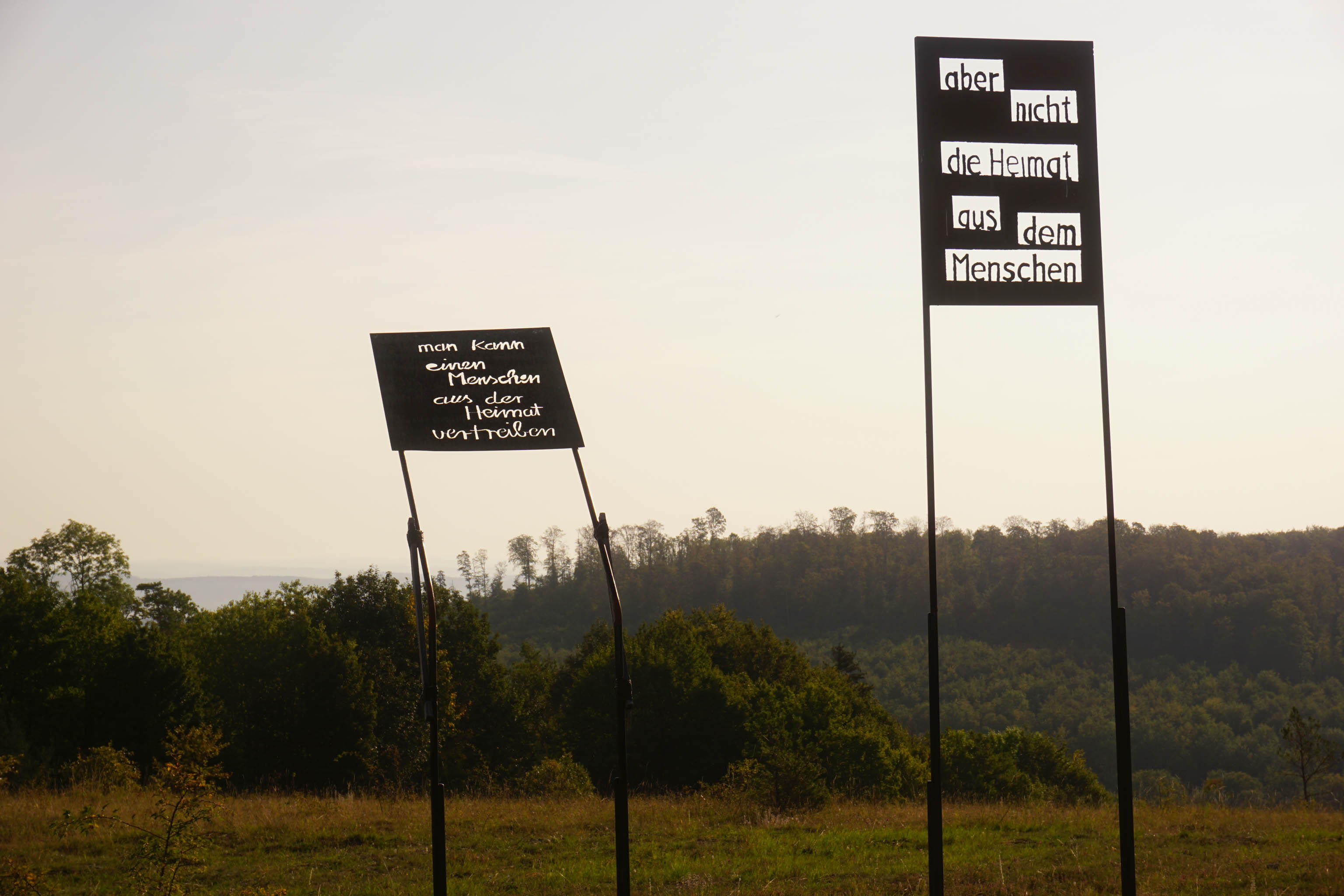
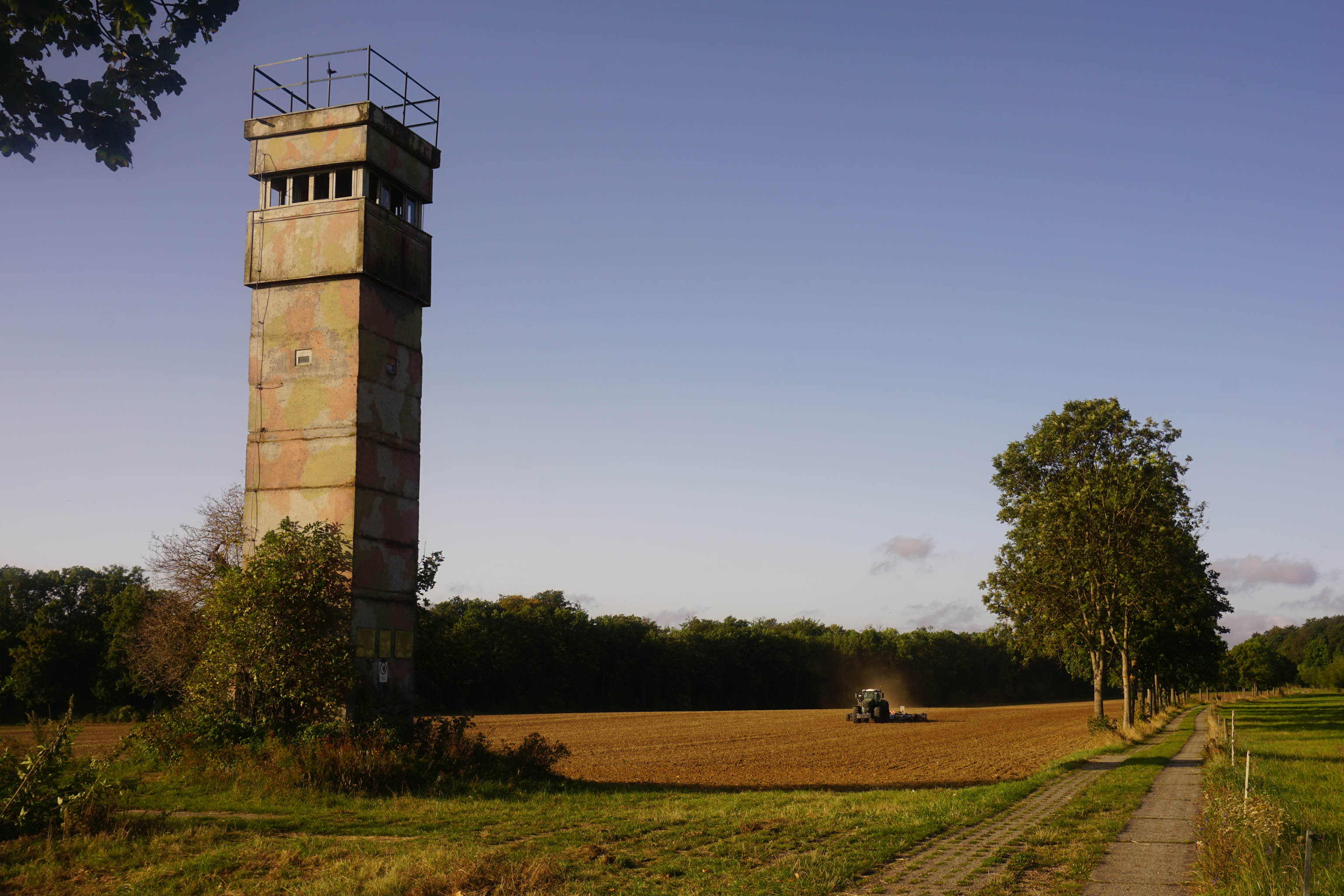
I’ve reached the northern end of the Rhön Mountains, which is known as the ‘land of endless horizons’ thanks to its amazing views. After a long, hot and hard day’s hiking due to difficult route-finding, I reach Point Alpha. I’m worn out. During the Cold War, the opposing NATO and Warsaw Pact blocks had outposts here that stood literally eyeball to eyeball. Today, the area has become a symbol for peace and freedom in Europe.
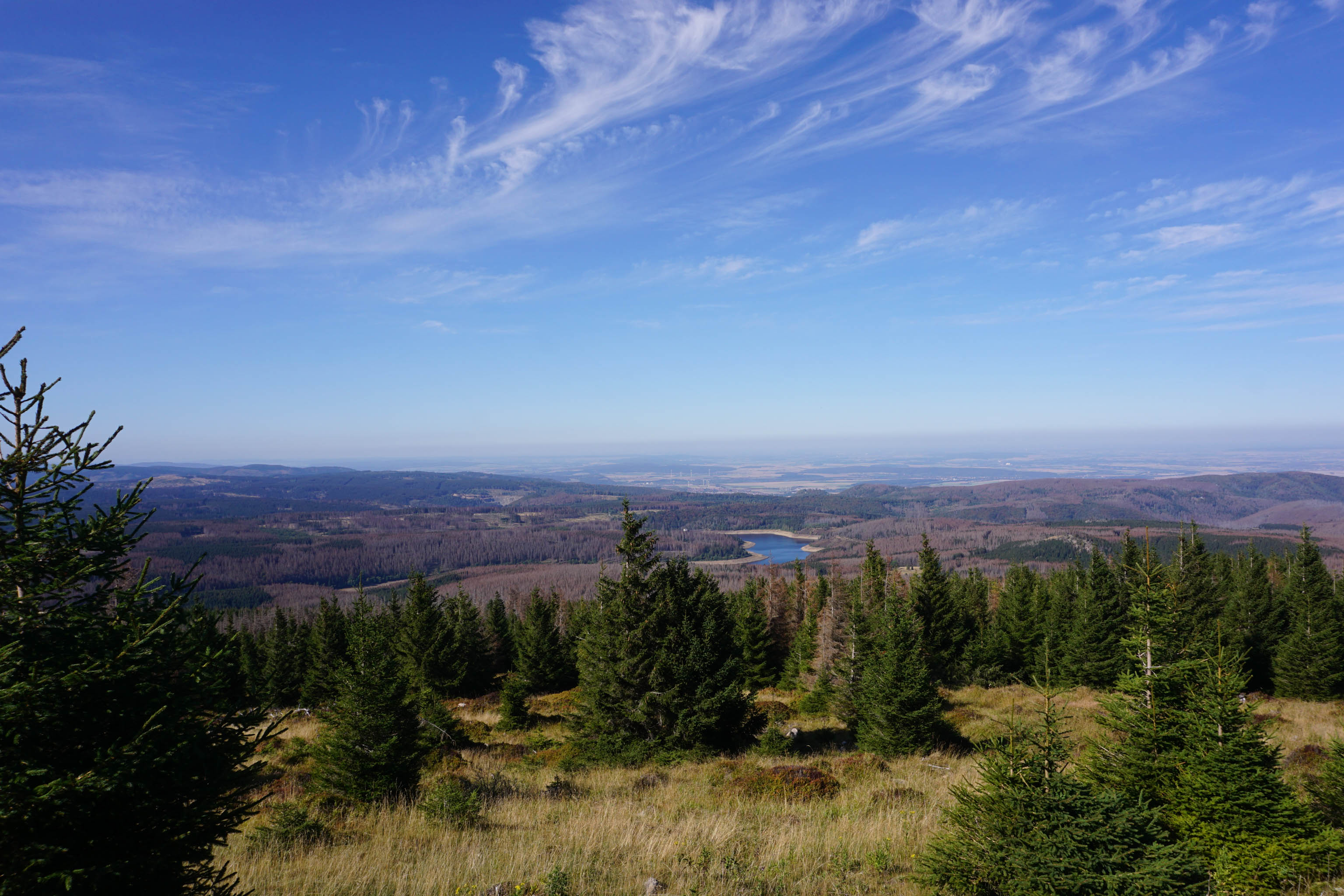
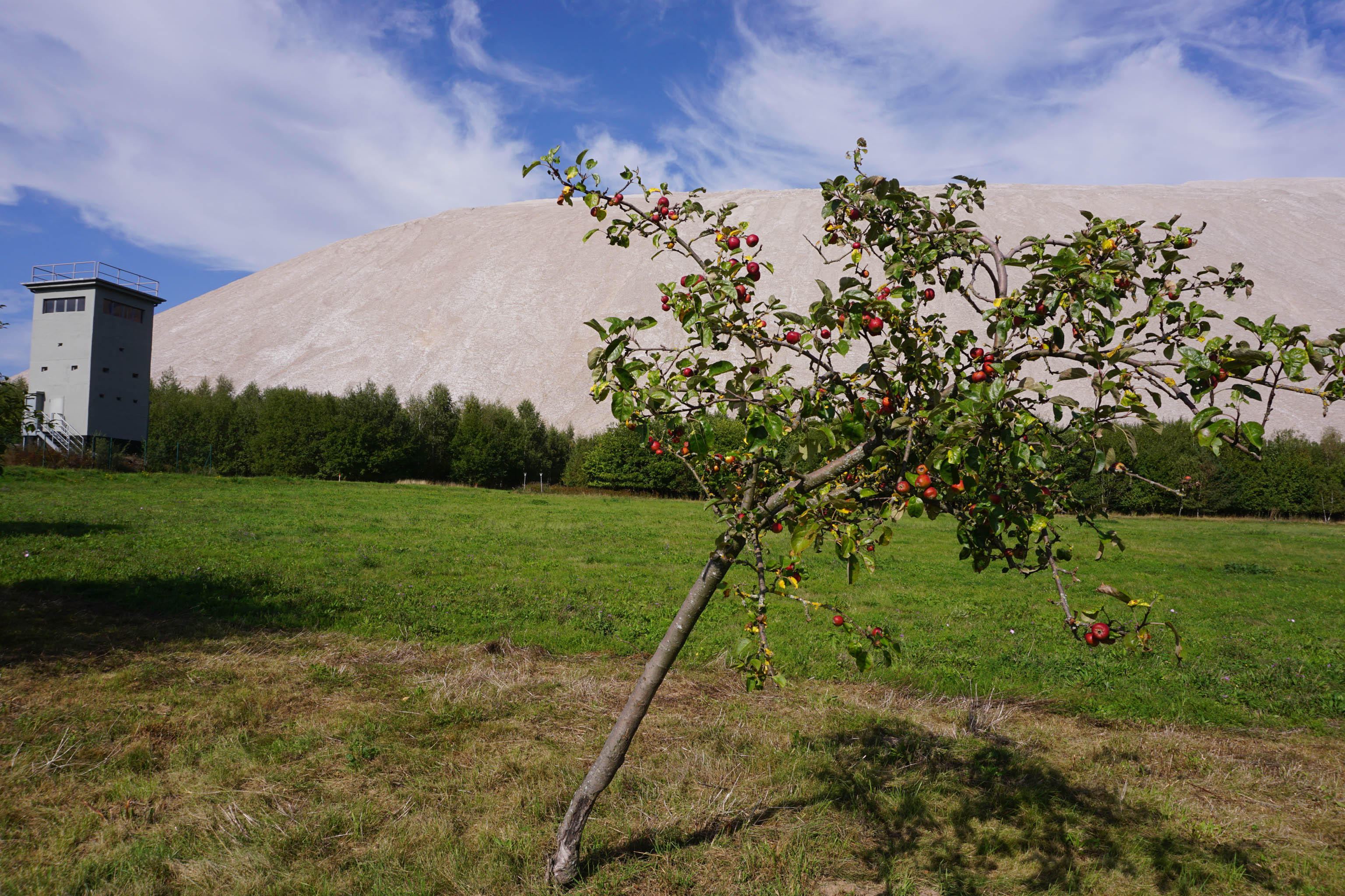
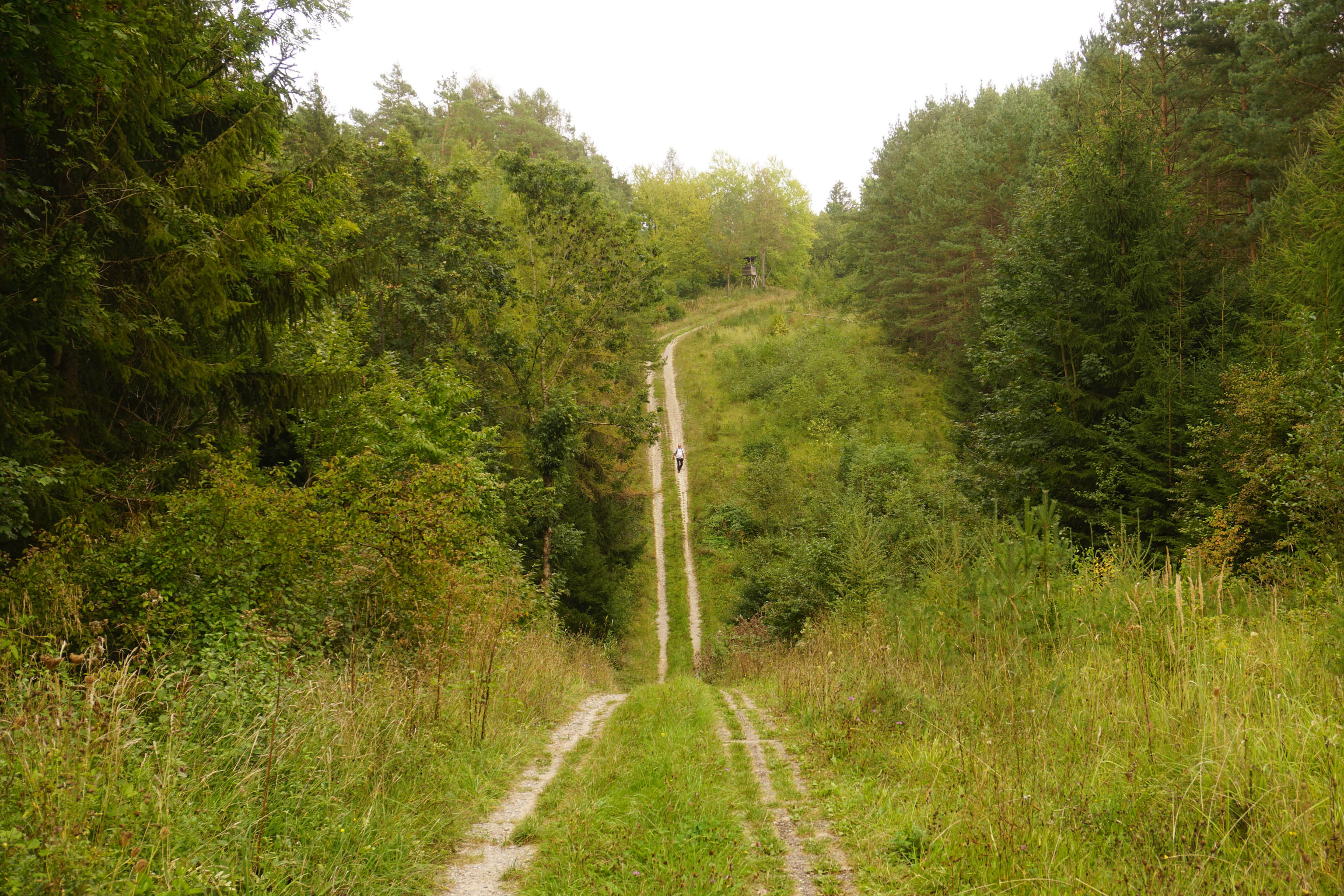
My hike takes me on through the distinctive white potash mountains of the Werra Valley and on towards North Hesse, where I grew up. While many of the lower mountain ranges are behind me, the most challenging sections are still to come. The former “Kolonnenweg” patrol road leads me on with plenty of ups and downs and many a dead end.
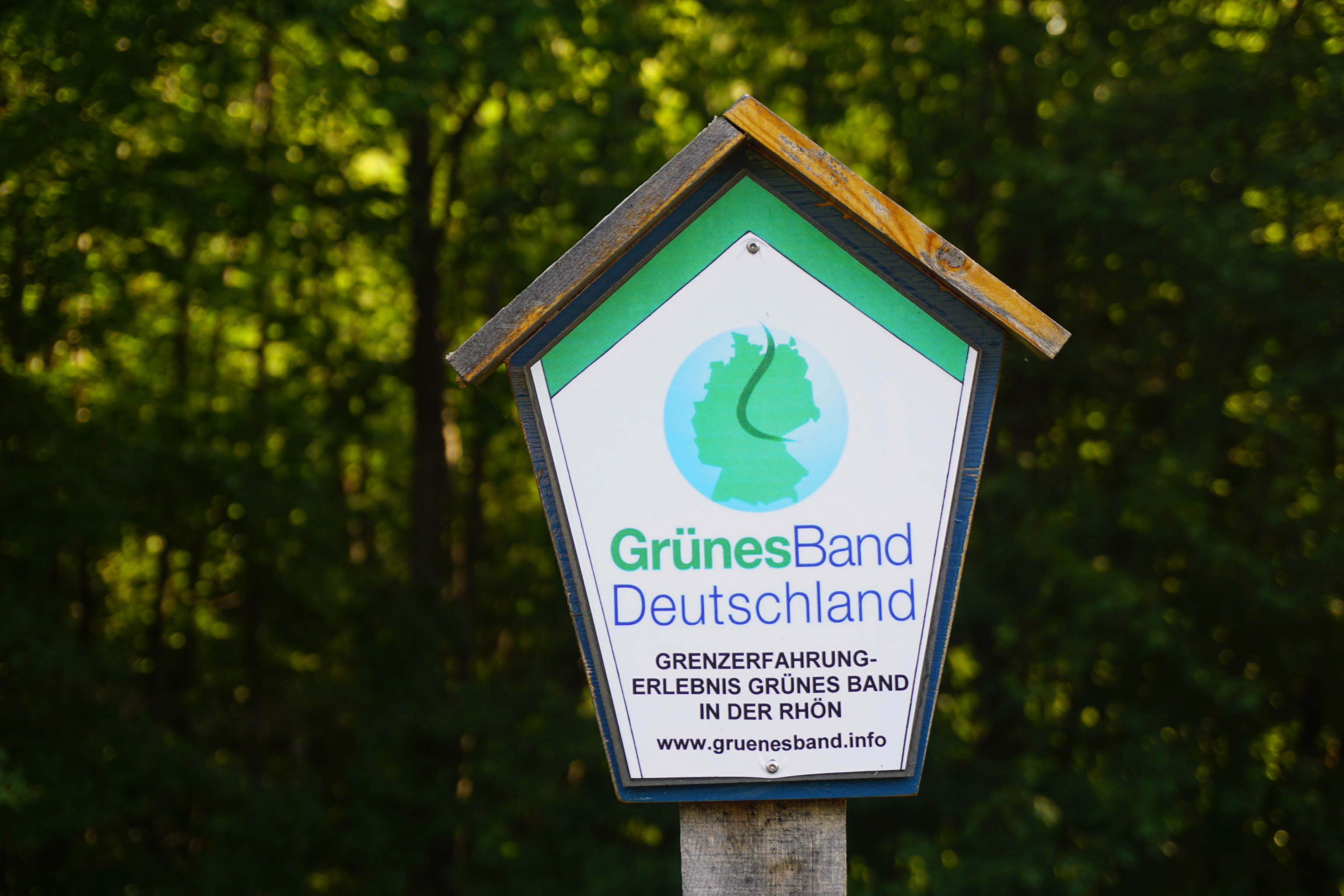
You can find a lot of information about the Green Belt on the BUND website (in German only).
The precast, lattice concrete slabs are proving to be my biggest test on the Green Belt. I’ve got some 550 kilometres under my belt so far, but North Germany’s highest mountains, including the 1,141-metre summit of the Brocken, are looming ahead. It follows that the Brocken should be one of my waymarkers.
“On the Brocken, the high point is not reaching the summit, but being accompanied by my ten-year-old daughter.”
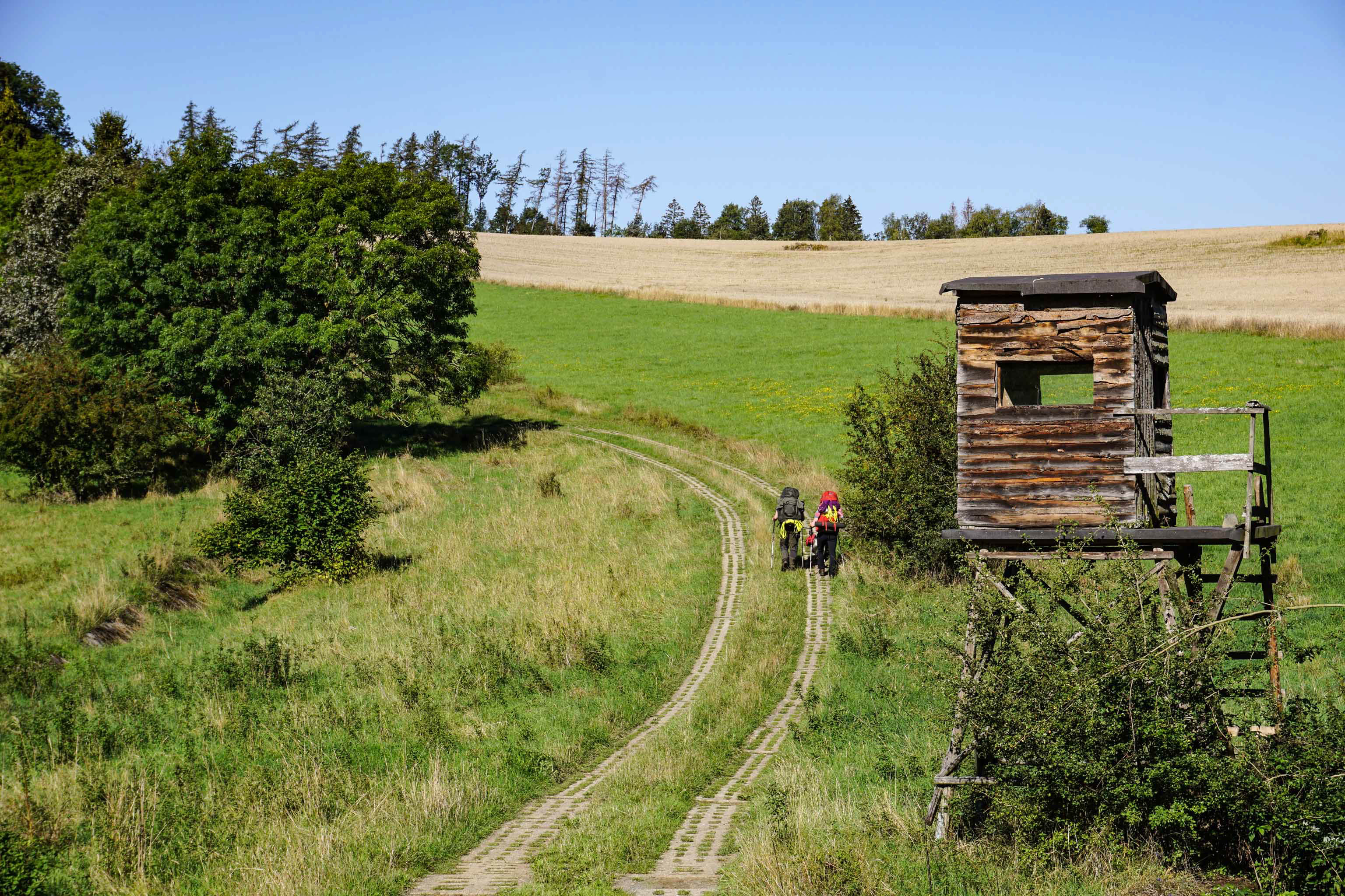
Thorsten HoyerIt follows that the Brocken should be one of my waymarkers. On this day though, the best thing is not reaching the summit, but the fact that I am joined by my ten-year-old daughter. She manages the 15 kilometres along the patrol road, but by the end, she’s pretty tired. On reaching the finish, I can see that she’s proud that she hung in there though.
Freedom – it’s what the people of East Germany so desperately wanted. They went out and marched, holding candles in their hands. Out where the sun, the moon and the stars shine for everyone – where there are no borders. Including for those who don’t look to the skies. When Benno Schmidt from Wernigerode looks up at the sky over the Harz Mountains, it’s the summit of the Brocken (1,141 metres) that he sees. His local mountain has shaped his life, so much so that the 89-year-old is now known as ‘Brocken Benno’.
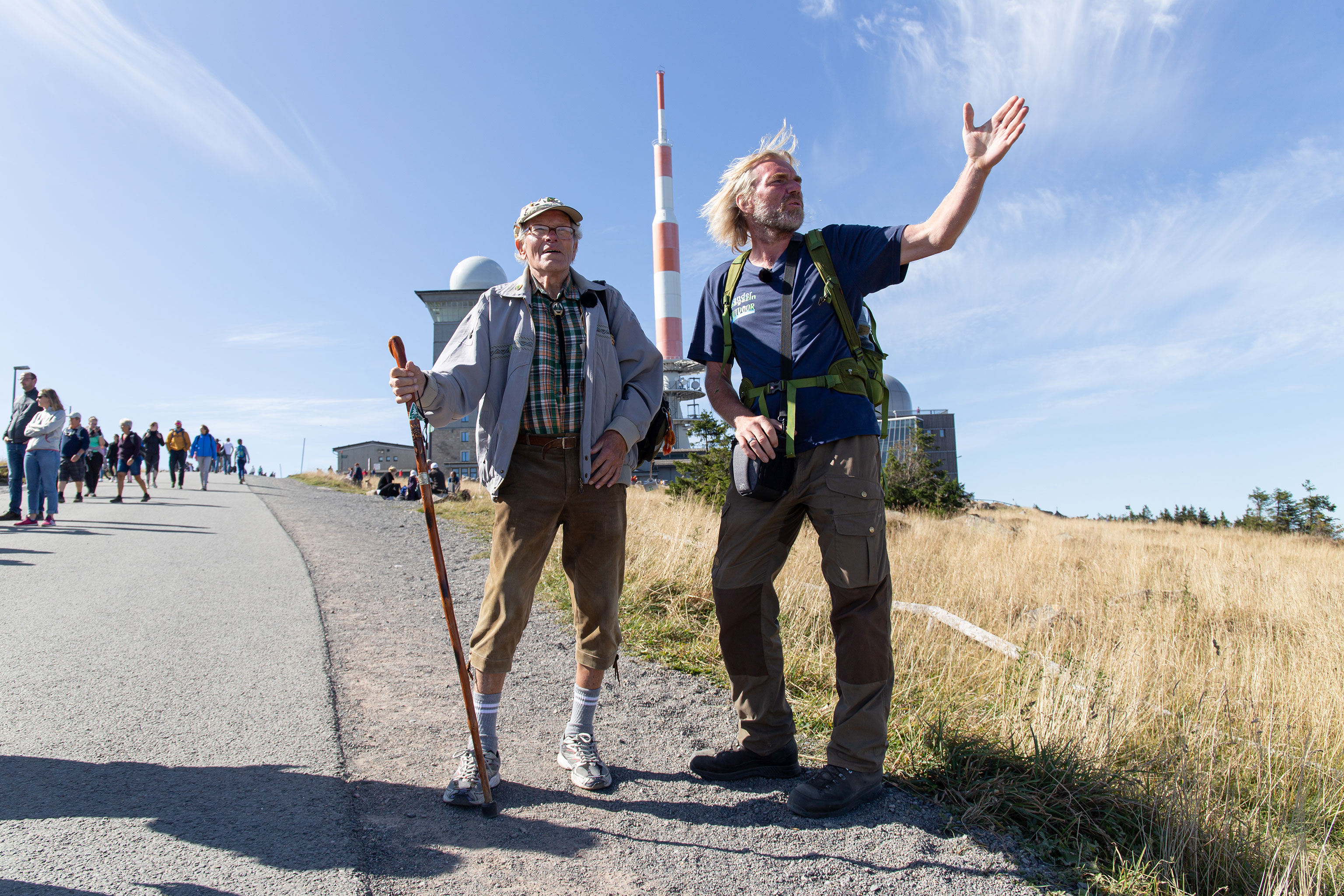
True to his motto ‘Free people – free Brocken’, Benno has hiked to the top of the mountain over 8,900 times. So no surprise then, that he wants to make it 9,000 by his 90th birthday. He has invited me to join him on the occasion in May 2022, and I am only too happy to accept.
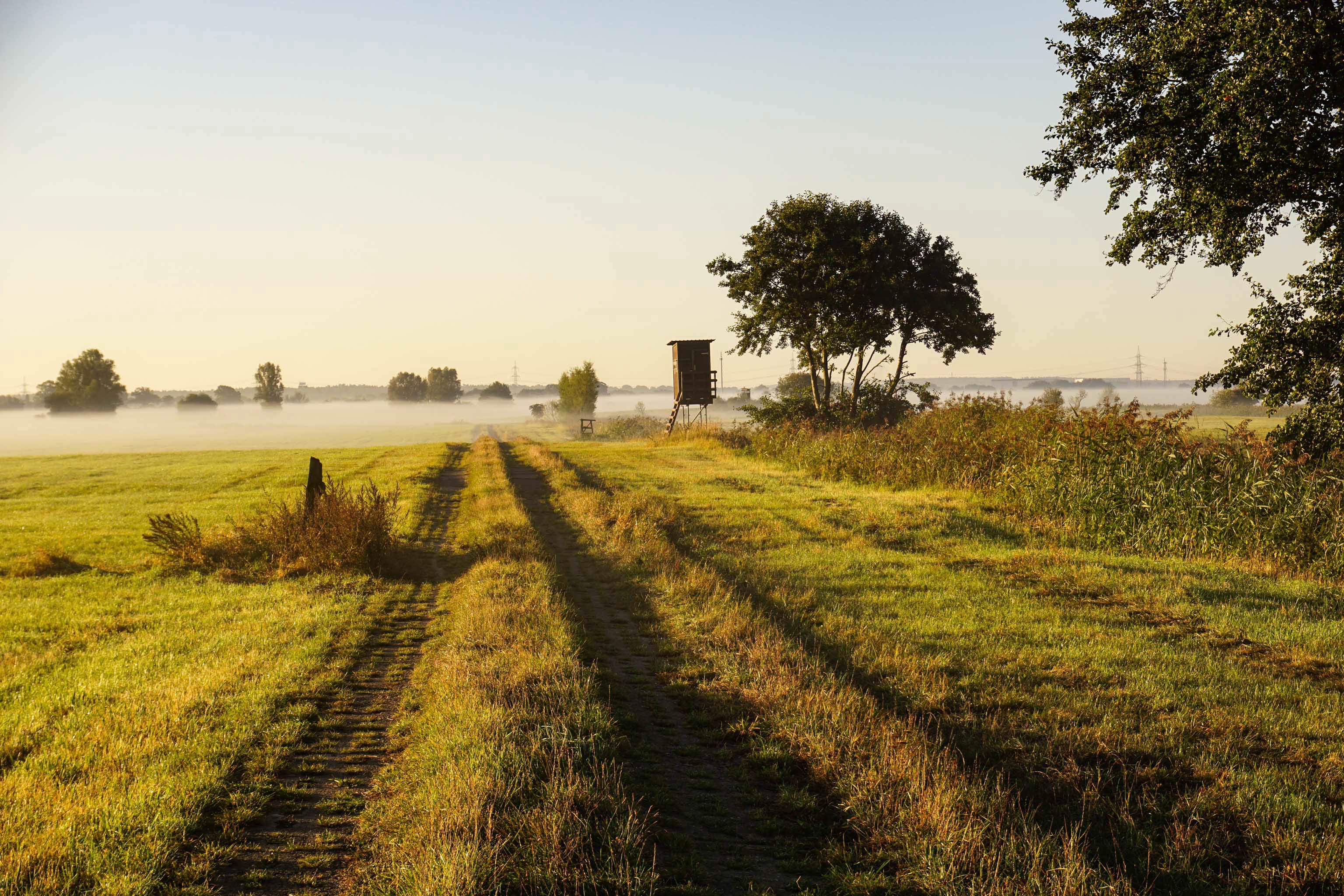
After my last big descent down out of the Harz, I hit the flat plains and the landscape changes significantly. No more ups and downs on the undulating patrol road. Instead, I have to constantly check the route. There are still some concrete slabs here and there, but they seem to be few and far between. The trail continues along country roads and paths. After the border was opened, things started to change quickly and in many places cereals, maize and grass are now grown. Border museums, such as the memorial to German partition at Marienborn however, still leave a lasting impression.
“If I can make it this far, then I’m going to be able to finish this.”
Thorsten Hoyer
The concrete slabs of the patrol road are back. From out of nowhere, they suddenly re-appear. And they seem to be back with a vengeance, as if they are trying to make up for the missing kilometres. The slabs stretch ahead of me. A line of concrete through the green fields and seemingly endless flat landscape. Kilometre after kilometre, the countryside is always the same. I reach a place where the trail makes a pointless dog-leg, probably due to the former border. Apart from this one diversion, I march on towards the horizon.
Everything is still, it’s almost oppressive, the only sound I hear are cranes and the geese calling. I lapse back into a near meditative state, everything seems to blend into one around me. During a routine check on my GPS, I notice that I’ve missed a turning. This quickly brings me back down to earth.
I continue northwards, following the Green Belt through the Altmark region in Saxony-Anhalt, where there are good signposts on the patrol road. According to a sign I’m only 15 kilometres from the river Elbe. From the moment I started planning this trek, the Elbe held a particular significance. It was and is a special waymarker that shows: “If I can get this far, then I’m going to be able to finish this.”
Follow Thorsten Hoyer on his journey – read the next chapter