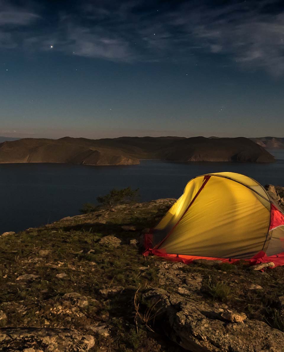
Long-distance hiking trails: 14 insider tips
Updated on
- Via Dinarica
- Peaks of the Balkans
- The Great Himalaya Trail
- Jordan Trail
- Trans Kaukasus Trail
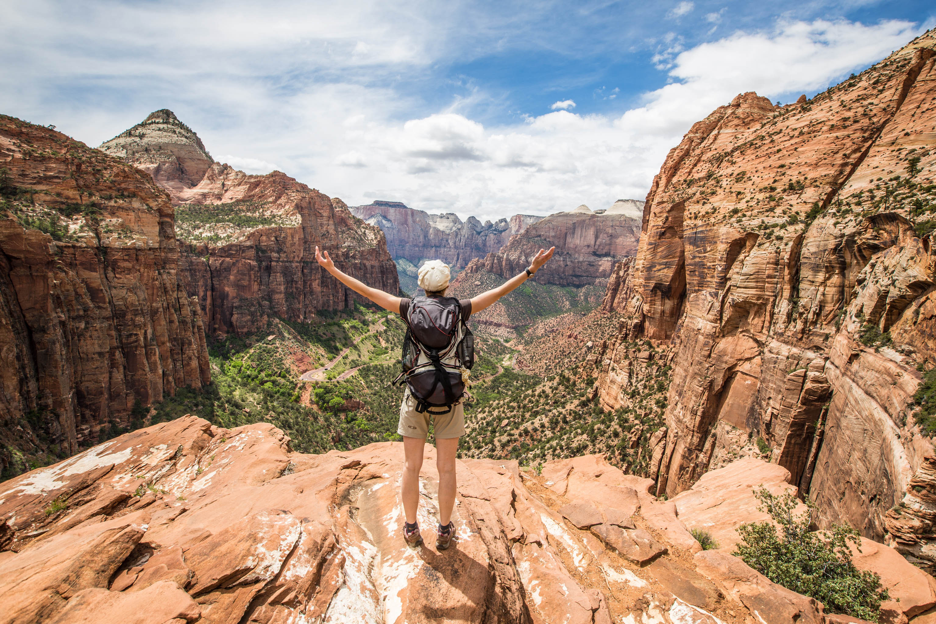
- Hayduke Trail
- Pacific Northwest Trail
- Yangtze River Trek
- Tokai Nature Trail
- Sultan’s Trail
- Great Baikal Trail
- Fisherman’s Trail
- Greater Patagonian Trail
- Circuito Dientes de Navarino
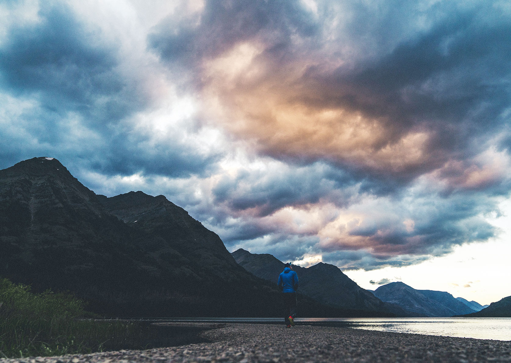
Thru hiking, or long-distance walking, is growing in popularity. On a traverse of the Alps or one of the many famous long-distance hiking trails, such as the Kungsleden (King’s Trail) in Sweden, you’re bound to come across other like-minded folk. It can be fun. But you might prefer to experience isolation or want to undertake the ultimate thru hikers’ challenge. That’s why we’ve compiled 15 thru hikes which are still relatively unknown – from the ‘Peaks of the Balkans Trail’ in Eastern Europe to the ‘Yangtze River Trek’ in China.
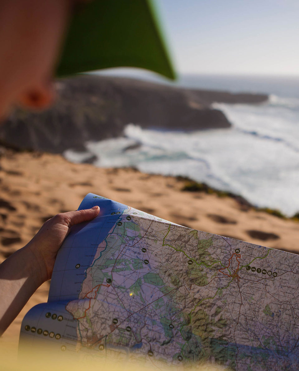
And of course, you could also come up with your own route ideas. But sticking to one of these long-distance hiking trails will cut down the amount of planning you need to do and make the trek itself more enjoyable. Please do not underestimate these routes. Not all of them are marked trails. On some of these routes navigation, food and logistics can be challenging, even for seasoned outdoor experts.
We have tried to give you as much information as possible to help you choose and prepare your own personal long-distance hiking trip. Happy reading and happy adventures!
Further reading on thru hiking:
–> The appeal of long-distance hiking
–> Long-distance walks: 12 classic trails
–> First thru hike – tips from a pro
–> Interview with a long-distance hiking expert
–> Getting ready for a thru hike
–> 10 stunning thru-hiking facts
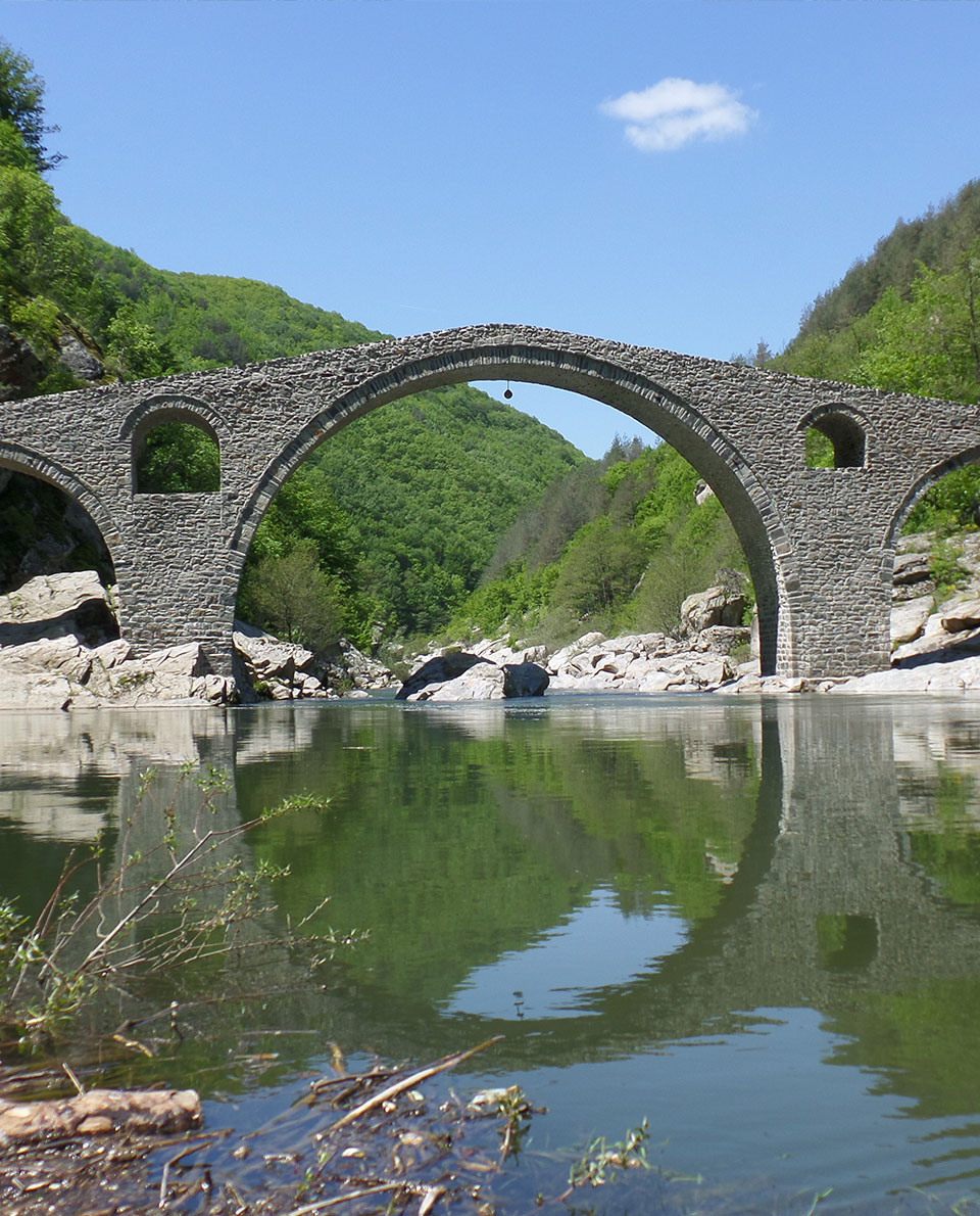
1 Via Dinarica
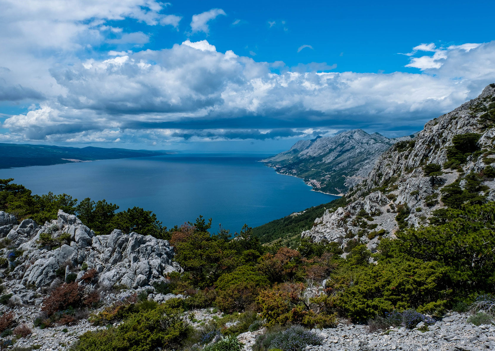
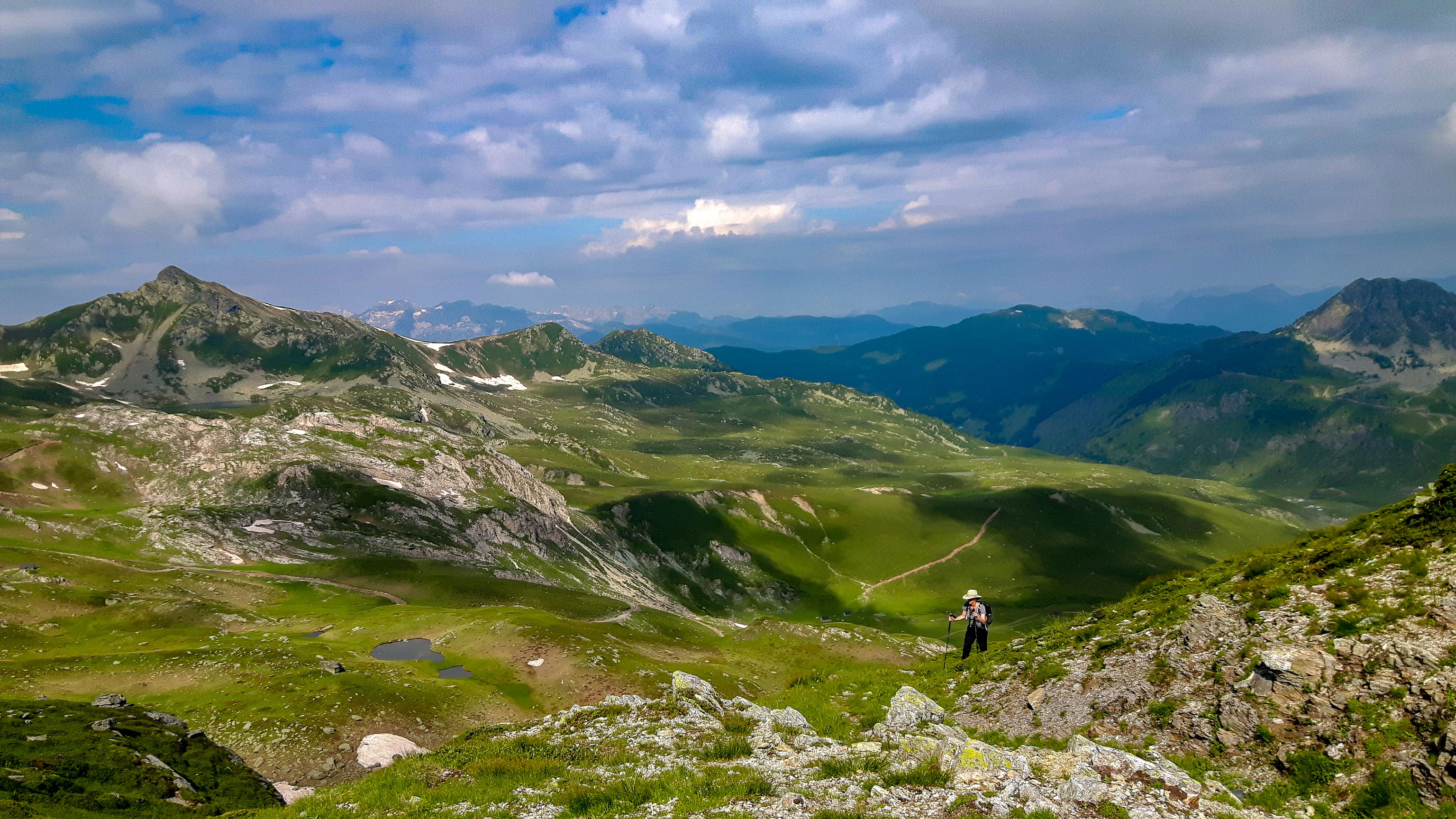
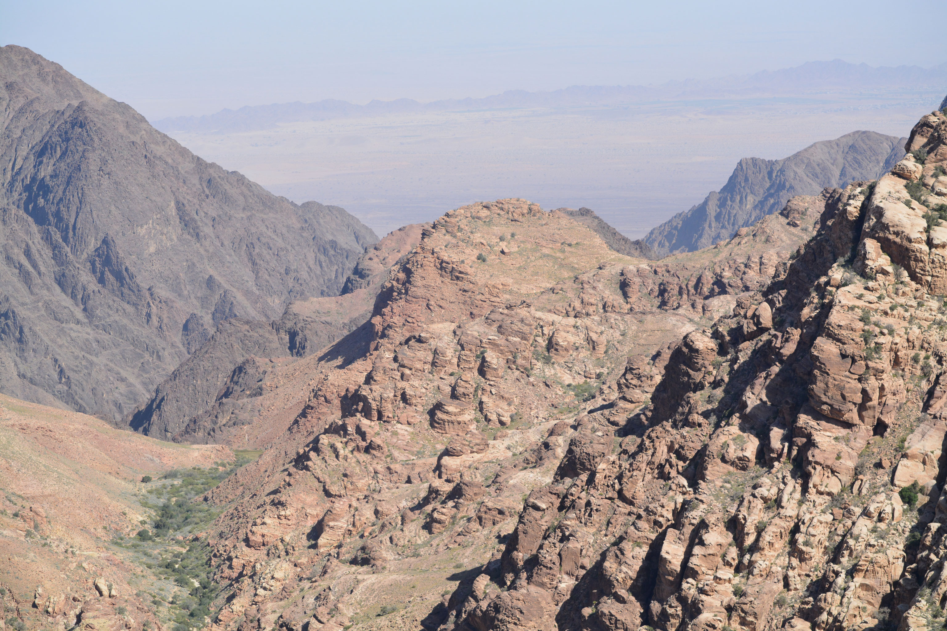
Alpine feeling hiking along the Adriatic Sea. The Via Dinarica offers not one, but three routes from Slovenia to Albania. One even leads to Macedonia. Long-distance hikers looking for a Balkan adventure can choose between the blue, the green and the white trail. The latter leads over the highest peaks of the Dinaric Mountains. The 600-kilometre-long mountain range runs parallel to the Adriatic coast and stretches from the Julian Alps to Montenegro and Albania.
This mountain range typically features 2,500-metre peaks and deep gorges. In some valleys, there are some of the last remaining primeval forests in Europe. The blue route winds along the coastal mountains, while the green route meanders inland.
The Via Dinarica is not, as yet, a fully developed, signposted long-distance hiking trail; in some sections it’s more like a path that sometimes runs along roads. But there is plenty of nature to see, and in the south in particular, the kind of mountain landscapes you’ll seldom find even in the Alps.
Tour Profile Via Dinarica
Data & Terrain
Skills & Info
Grading
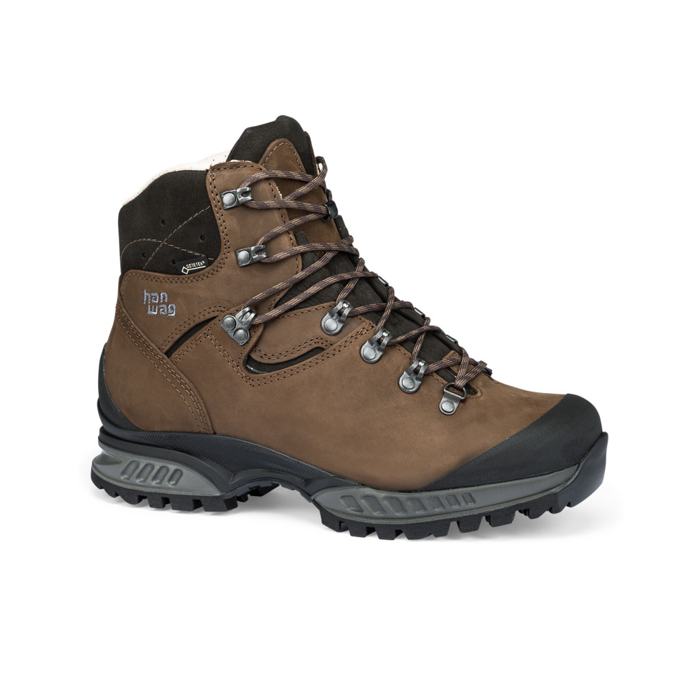
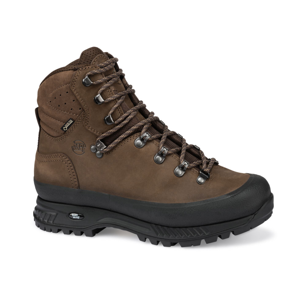
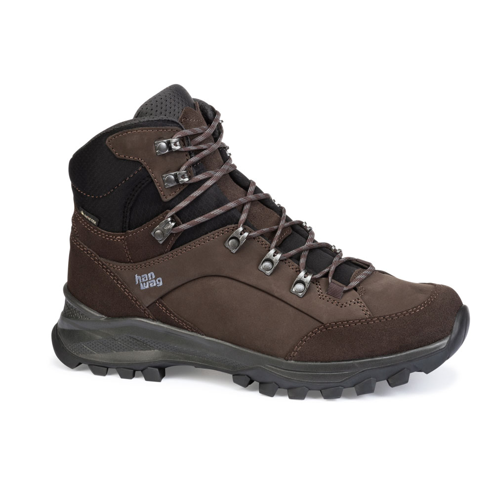
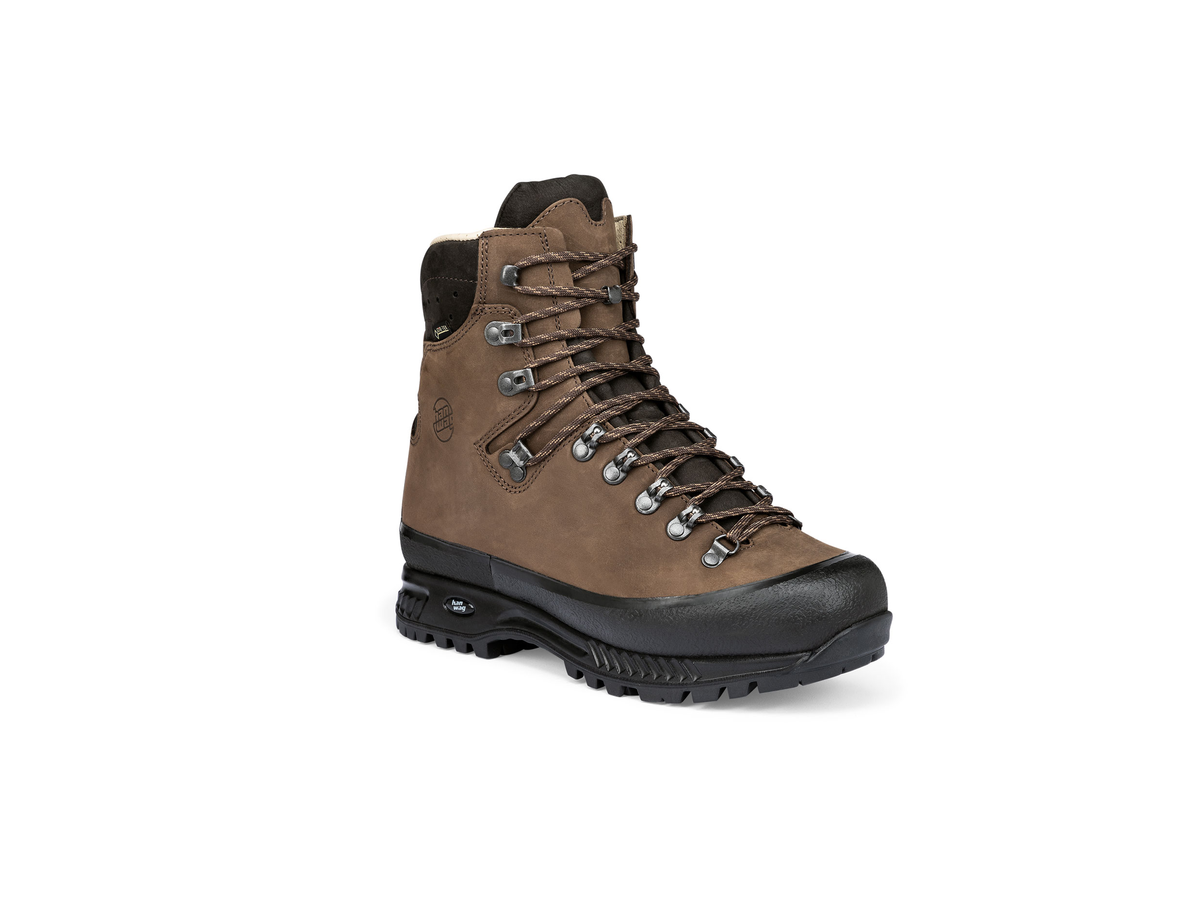
Footwear suggestion
Countries: Slovenia, Croatia, Bosnia and Herzegovina, Montenegro, Albania
Length: 1,280 km
Vertical metres: approx. 66,000
Stages: 46
Duration: Approx. 2 months
Terrain: Mountain and coastal, hiking trails, roads
Suitable for: Experienced thru-hikers looking for adventure, good at improvising and who are interested in different cultures
Accommodation: Tent, campsites, guesthouses, farm houses, hotels
Personal requirements: Very good level of fitness
Navigation ability: Very good navigation skills with and without a map/ compass/ GPS
Info: via-dinarica.org, trail.viadinarica.com
Reading: Via Dinarica: The White Trail in Bosnia and Herzegovina, Bradt Travel Guides

2 Peaks of the Balkans
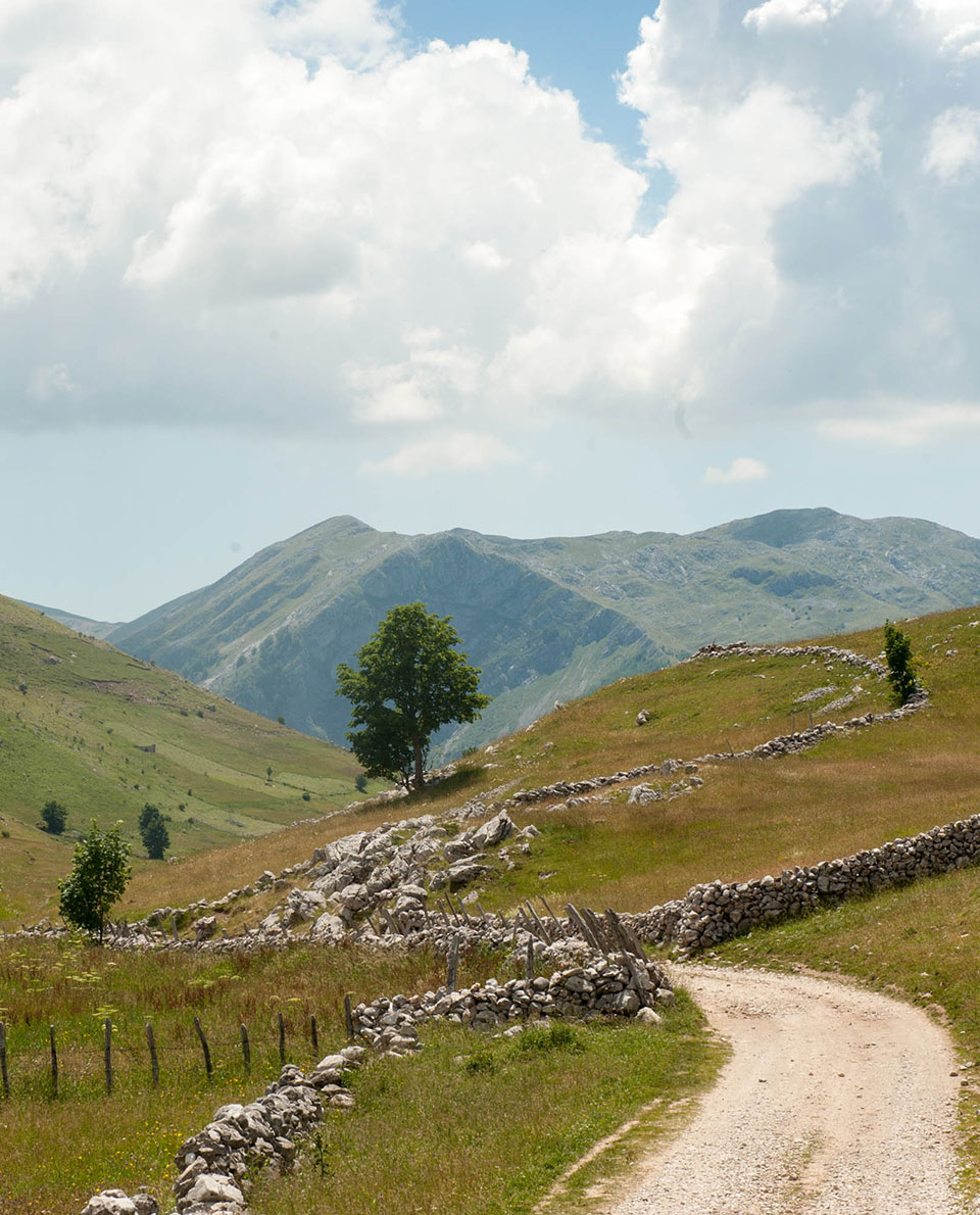
Dreaming of mountains in the Balkans: Long-distance hikers who find the Via Dinarica too long may find the Peaks of the Balkans Trail a truly fascinating and impressively secluded alternative to the Alps. Following ancient tracks in places, this circular trek leads through the mountainous regions of the Western Balkans in the border triangle of Albania, Kosovo and Montenegro. Permits are required for the border crossings.
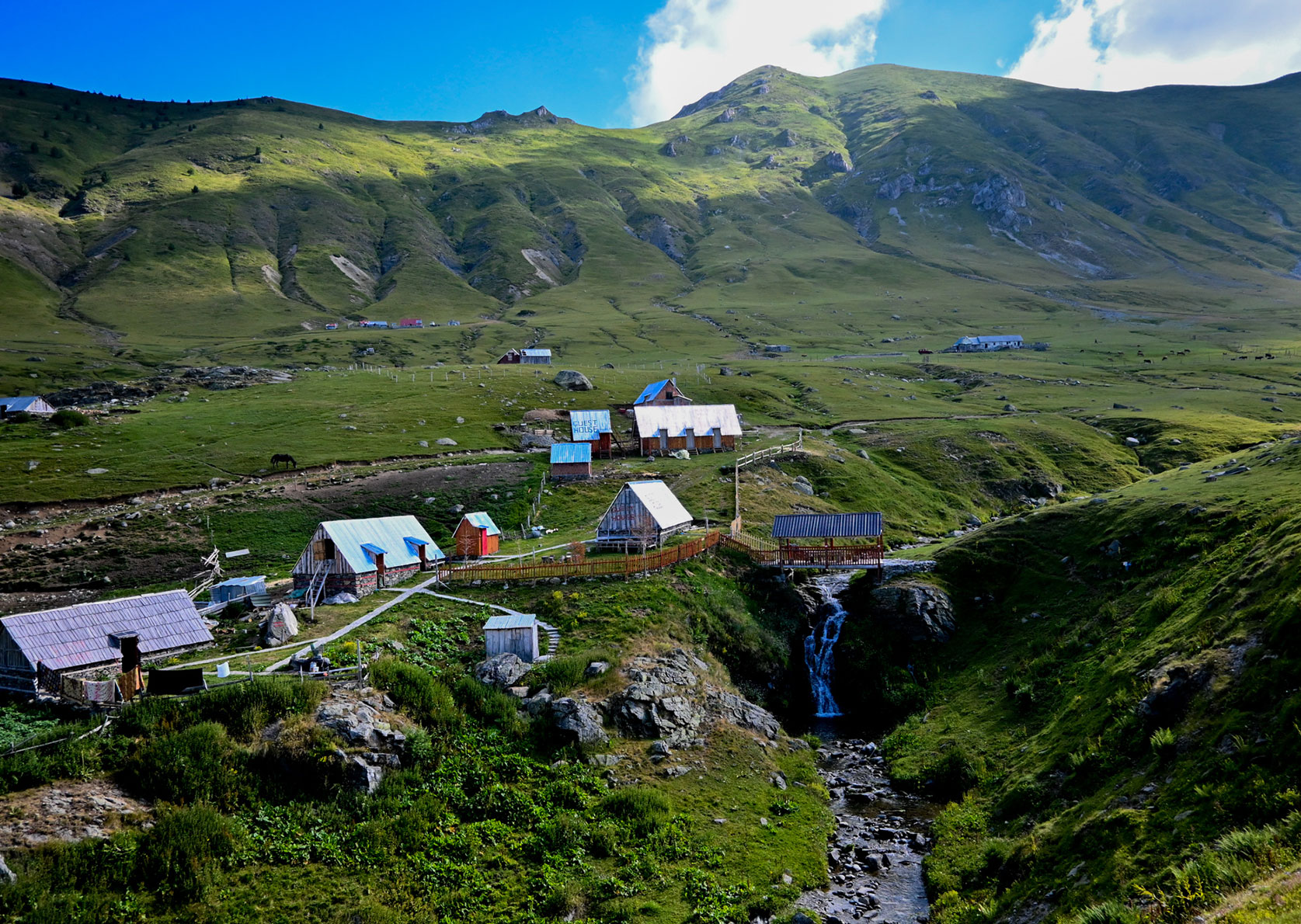
The long-distance hiking trail is just as varied as in many mountain regions of the Alps but goes through areas that are significantly more remote. Sparkling mountain lakes, green meadows with long, wild grasses, imposing rock faces like in the Dolomites – on this trek, it’s as if time has stood still.
Overnight accommodation is in huts, guest houses or at campsites. For mountain climbers there are ample opportunities to bag a peak along the way. Making your mountain dreams come true.
Tour Profile Peaks of the Balkans
Data & Terrain
Skills & Info
Grading
Footwear suggestion
Countries: Albania, Montenegro, Kosovo
Length: 192 km
Vertical metres: 16,500
Stages: Approx. 10, can be adapted to suit you
Duration: Approx. 1.½ – 2 weeks
Terrain: alpine mountains, lower mountain ranges
Suitable for: Experienced hikers with a sense of adventure. Not suited to mountain hikers looking for good infrastructure.
Accommodation: Huts, guesthouses, wild camping is allowed except in Montenegro’s National Parks.
Personal requirements: Good fitness levels and mountaineering experience.
Navigation ability: Very good navigation skills with a map/ compass/ GPS
Info: peaksofthebalkans.info
Reading: Trekking the Peaks of the Balkans Trail, Cicerone Press
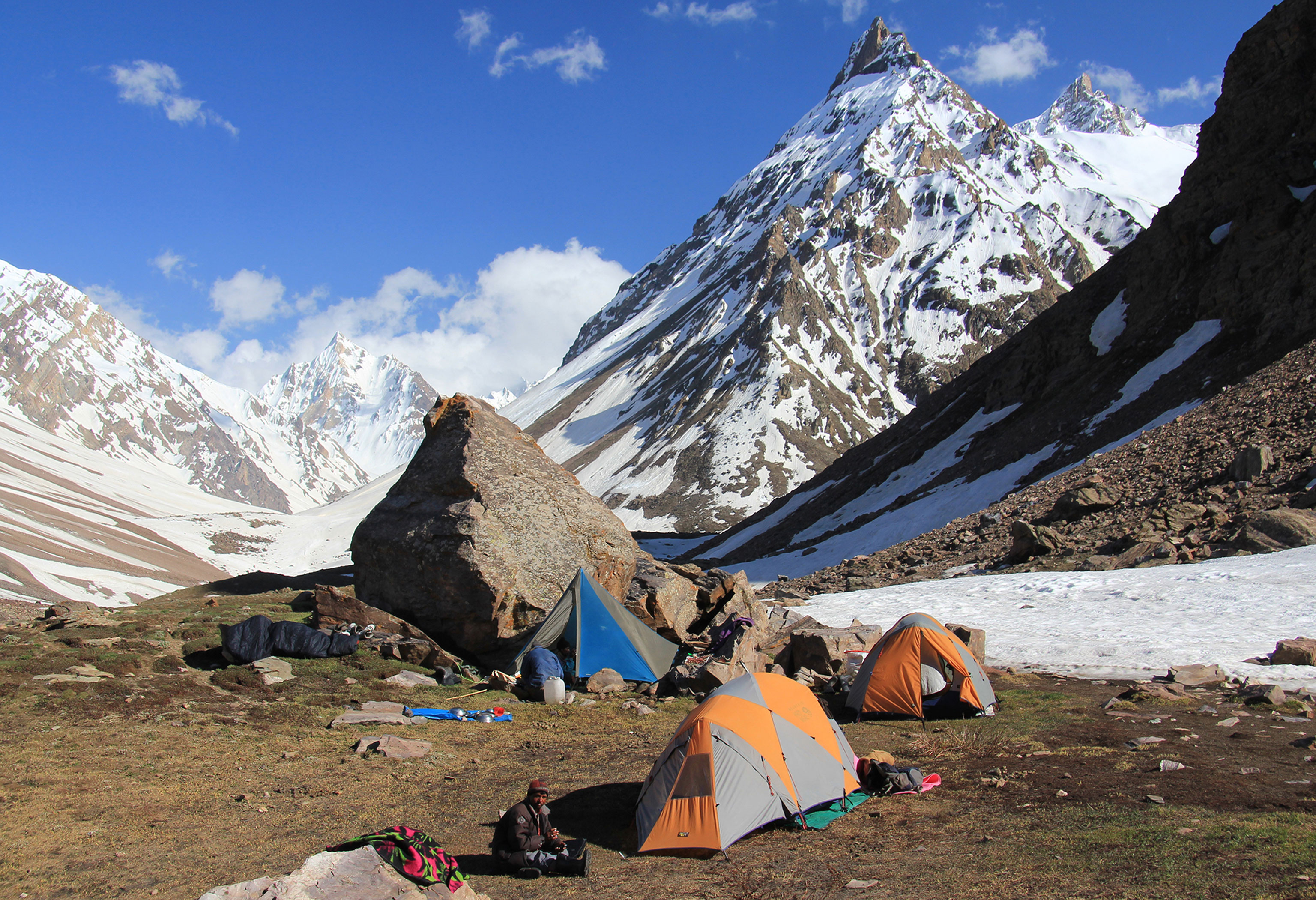
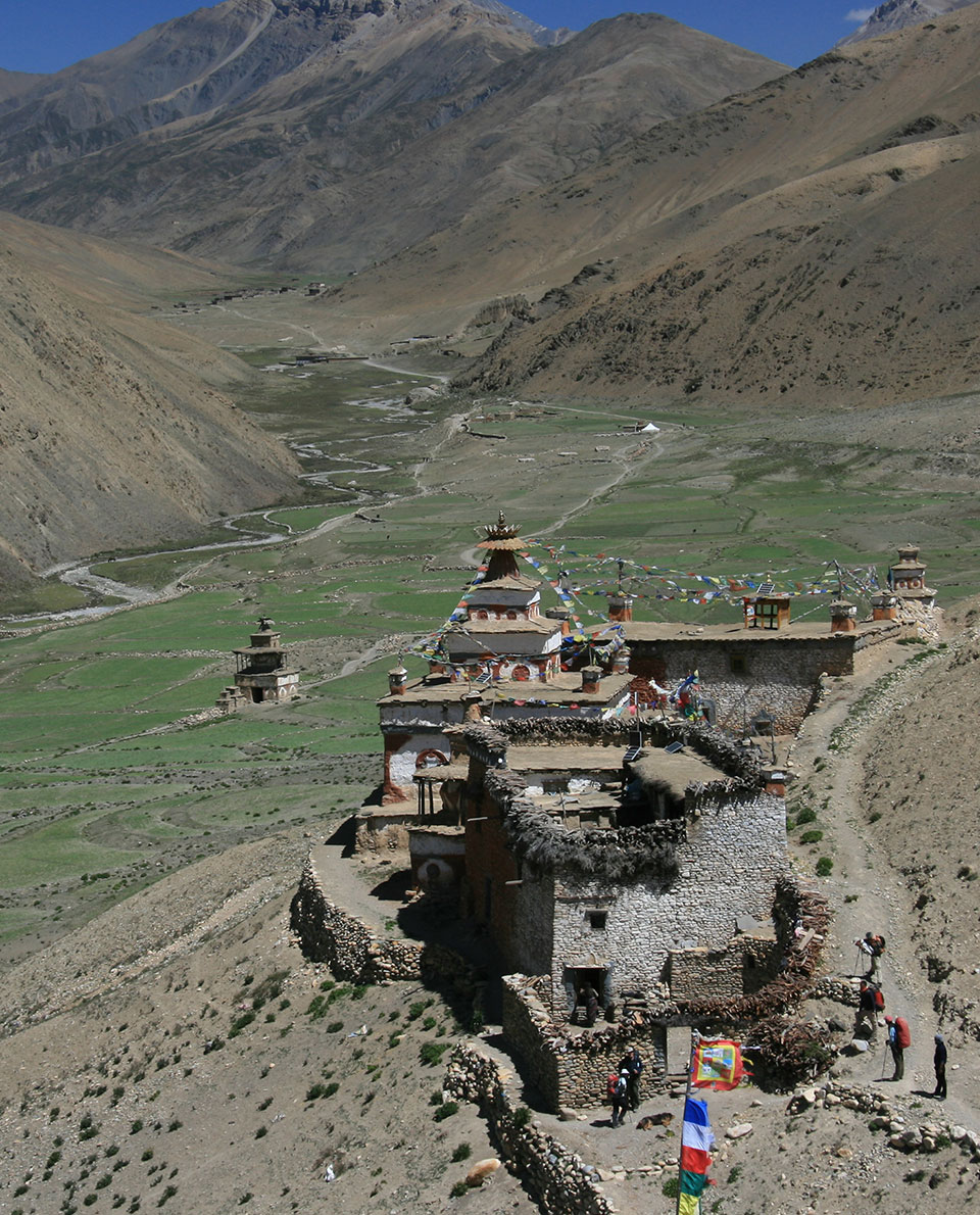
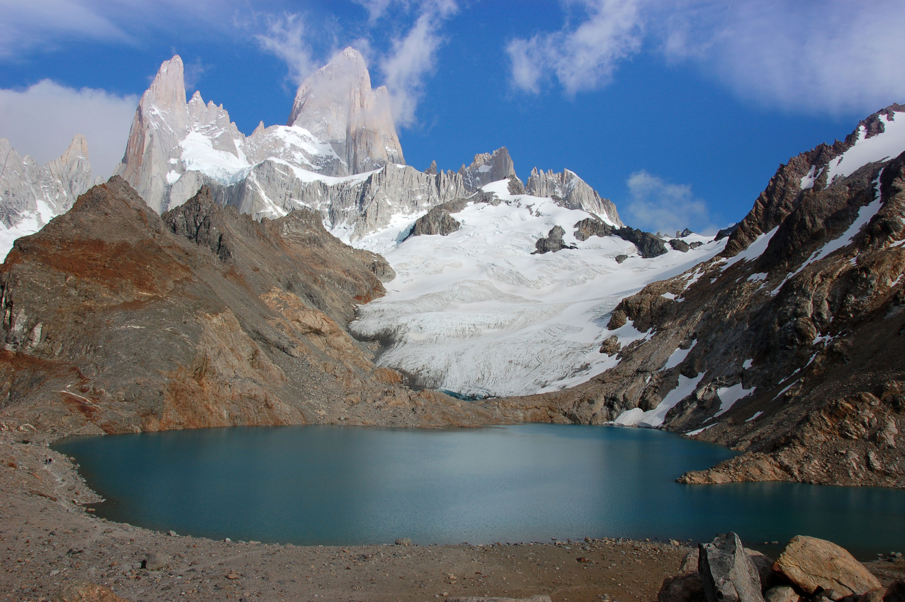
3 The Great Himalaya Trail
Like the Holy Grail of trekking routes and long-distance trails, the Great Himalaya Trail combines the greatest trekking routes in the Himalayas. On this trek that takes around three to five months to complete, the highest mountains in the world are your backdrop and you’re fully exposed to the local culture with all its spirituality.
Magnificent glaciers, broad high valleys, monasteries and hospitable people – nowhere else offers such deep immersion in the world of the Himalayas as the Great Himalaya Trail. Popular sections like those in the Everest and Annapurna regions, with the option of staying in luxurious lodges, are just as much part of the trail as the more remote valleys that have no tourism.
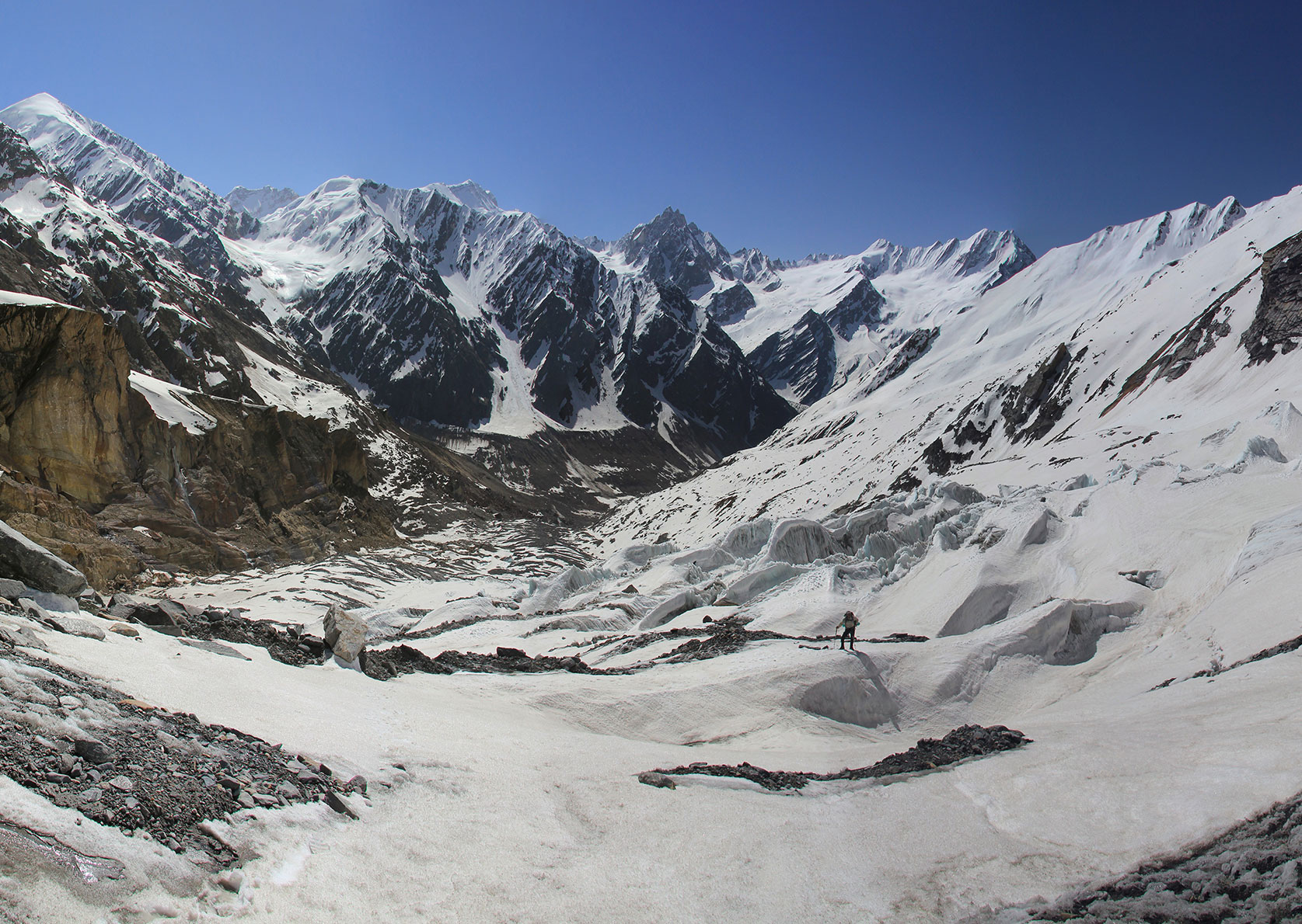
Basically, you can choose between two routes in Nepal: The High Route which focuses on the high mountain regions leads up to heights of 6,146 metres. The Low Route focuses on the culture of the Himalayan valleys – with its rice terraces and green hills – again against the backdrop of the Himalayan giants.
The entire route, which isn’t yet designated an official trail, covers 4,500 kilometres through Pakistan, India, Nepal, Bhutan and Tibet.
Tour Profile Great Himalaya Trail
Data & Terrain
Skills & Info
Grading
Footwear suggestion
Country: Nepal
Length: Nepal: 1,700 km (High Route), 1,500 km (Low Route); The Great Himalaya Trail Route in total: 4,500 km
Vertical metres: 160,000 (high route)
Stages: Adaptable
Duration: 3 – 5 months (High Route 1,700 km)
Terrain: Depending on route – lower ranges to extreme high alpine
Suitable for: High-altitude, endurance mountain goats with appropriate mountain and outdoor experience; Regular trekkers with an interest in culture (Low Route)
Accommodation: Guesthouses, lodges, tent
Personal requirements: Very good fitness levels and extensive outdoor experience; very good acclimatisation
Navigation ability: Excellent navigation skills with map/compass/GPS
Info: greathimalayatrail.com
Reading: Nepal Trekking & The Great Himalaya Trail, Trailblazer; The Great Himalaya Trail – A Pictorial Guide, Robin Boustead, Vaira Books

4 Jordan Trail
Like in a fairy tale: Rugged, steep-sided canyons, Wadi Rum glows red in the setting sun with its huge, bizarrely shaped rock towers, Bedouins and palm fringed oases, the rock city of Petra with its cultural treasures… the list goes on. The 675-kilometre-long Jordan Trail leads you right into the heart of the world of Lawrence of Arabia. This is a long-distance hiking trail through the dazzling history and culture of Jordan. It follows old trade routes that are in part thousands of years old.
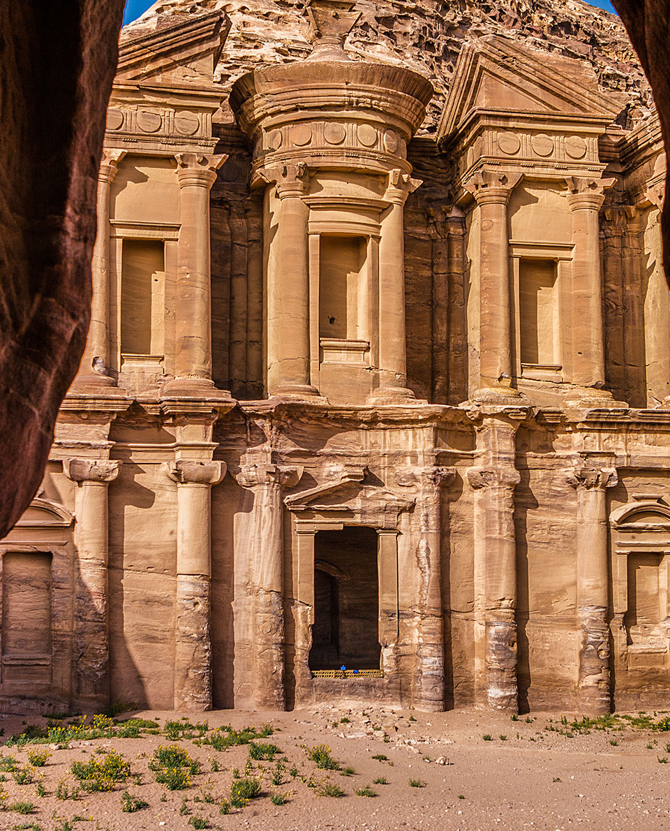
Many Bedouin tribes help with the development and maintenance of the trail. This long-distance trail is not marked or signposted, so you should therefore have adequate navigation skills and some experience of desert areas if you want to set off without a guide.
Tour Profile Jordan Trail
Data & Terrain
Skills & Info
Grading
Footwear suggestion
Country: Jordan
Length: 657 km
Vertical metres: approx. 30,000
Stages: 40
Duration: 6 weeks
Terrain: Largely desert and oases
Personal requirements: Very good fitness levels and depending on time of year, good heat tolerance
Navigation ability: Very good navigation skills with map/compass/GPS; trail not marked
Info: jordantrail.org
Reading: Hiking in Jordan, Grant Maassen
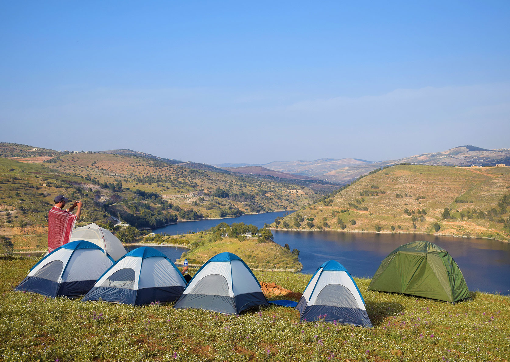
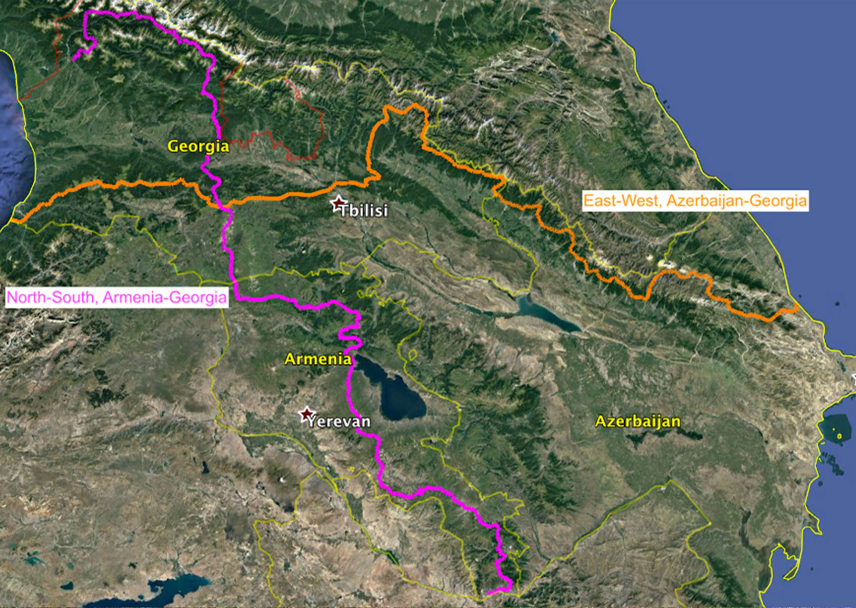
5 Trans Kaukasus Trail
Parts of the trail only exist as a concept, but the route is already set, as are some of the completed sections. The Trans Caucasus Trail is something for long-distance hikers with a sense of adventure and a soft spot for foreign cultures. This long-distance hike stretches 3,000 kilometres through the Caucasus Mountains on mostly deserted trails. Remote mountain valleys, villages that time forgot, and imposing mountains like those in the Alps give the route a familiar yet exotic feel.
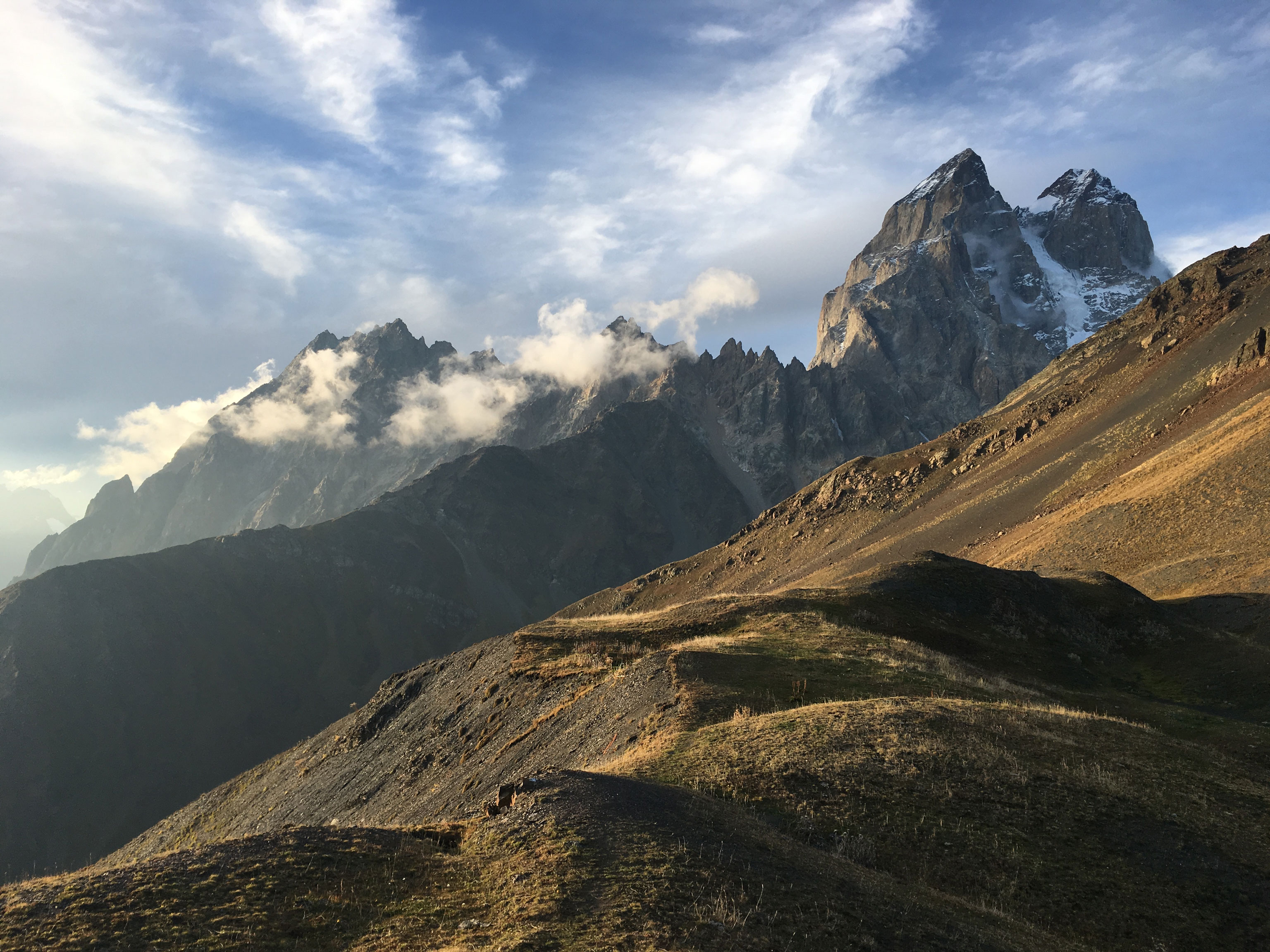
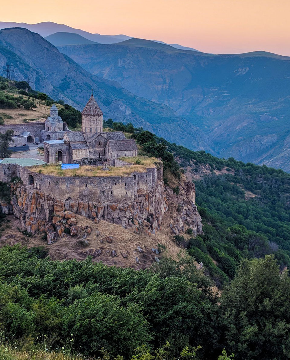
Hiking through the Caucasus is tremendously varied in terms of landscape and also offers impressive cultural diversity. The route climbs steeply up and down between 400 and 3,500 metres above sea level. Highlights include the Dilijan National Park in Armenia and the UNESCO-protected glacier regions in Swanetia.
Tour Profile Trans Kaukasus Trail
Data & Terrain
Skills & Info
Grading
Footwear suggestion
Countries: Georgia, Armenia
Length: 3,000 km
Stages: Adaptable
Duration: Approx. 6 months
Terrain: Very versatile, from green valleys to glaciated high mountains
Suitable for: Adventure-loving thru-hikers who like to plan their own routes
Personal requirements: Very good fitness levels and ample outdoor experience; Some experience in self-supported travel
Navigation ability: Excellent navigation skills, with and without aid
Info: transcaucasiantrail.org
Reading: Bread and Ashes: A Walk Through the Mountains of Georgia, Tony Anderson, Vintage

6 Hayduke Trail
Red Rocks rock: Deep canyons, bizarre rock formations – the Hayduke Trail is an extremely challenging, 800-mile long-distance hiking trail through Red Rock Country in the south-west of the USA, one of the most spectacular landscapes on earth – and it really rocks! The 1300-kilometre route also connects six national parks on the Colorado Plateau in southern Utah and northern Arizona.
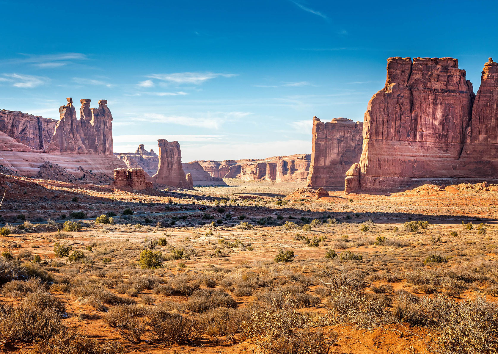
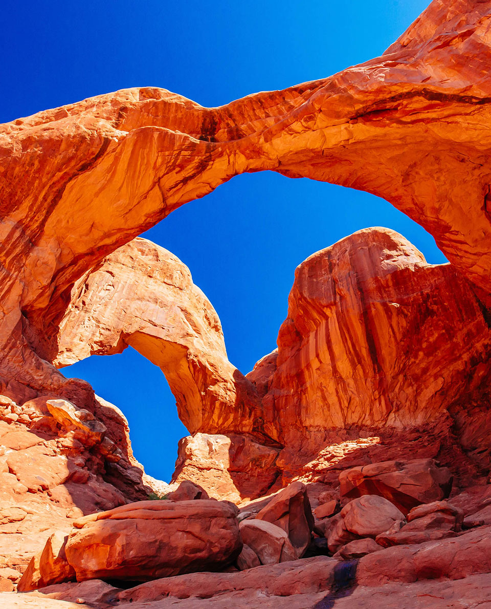
The Hayduke long-distance hiking trail takes in the Arches, Canyonlands, Capitol Reef, Bryce Canyon, Grand Canyon and Zion National Parks, as well as numerous other spectacular protected areas. However, it is a very demanding trail that leads through terrain that is often desert-like. A suitable challenge for hikers who know how to manage water and food supplies in remote regions.
Tour Profile Hayduke Trail
Data & Terrain
Skills & Info
Grading
Footwear suggestion
Country: USA
Length: 1,300 km
Vertical metres: 41,000
Stages: Adaptable
Duration: Approx. 3 months
Terrain: Rugged mountains and canyons
Suitable for: Only for highly experienced hikers with extensive self-supported trekking experience in the greater ranges and deserts.
Accommodation: Tent
Personal requirements: Very good fitness levels and extensive outdoor experience
Navigation ability: Excellent navigation skills with map/compass/GPS
Info: hayduketrail.org
Reading: The Hayduke Trail: A Guide to the Backcountry Hiking Trail on the Colorado Plateau, University of Utah Press; The Plateau of Doubt: Hiking the Hayduke Trail across the Colorado Plateau, Lulu Publishing Services (Kindle)

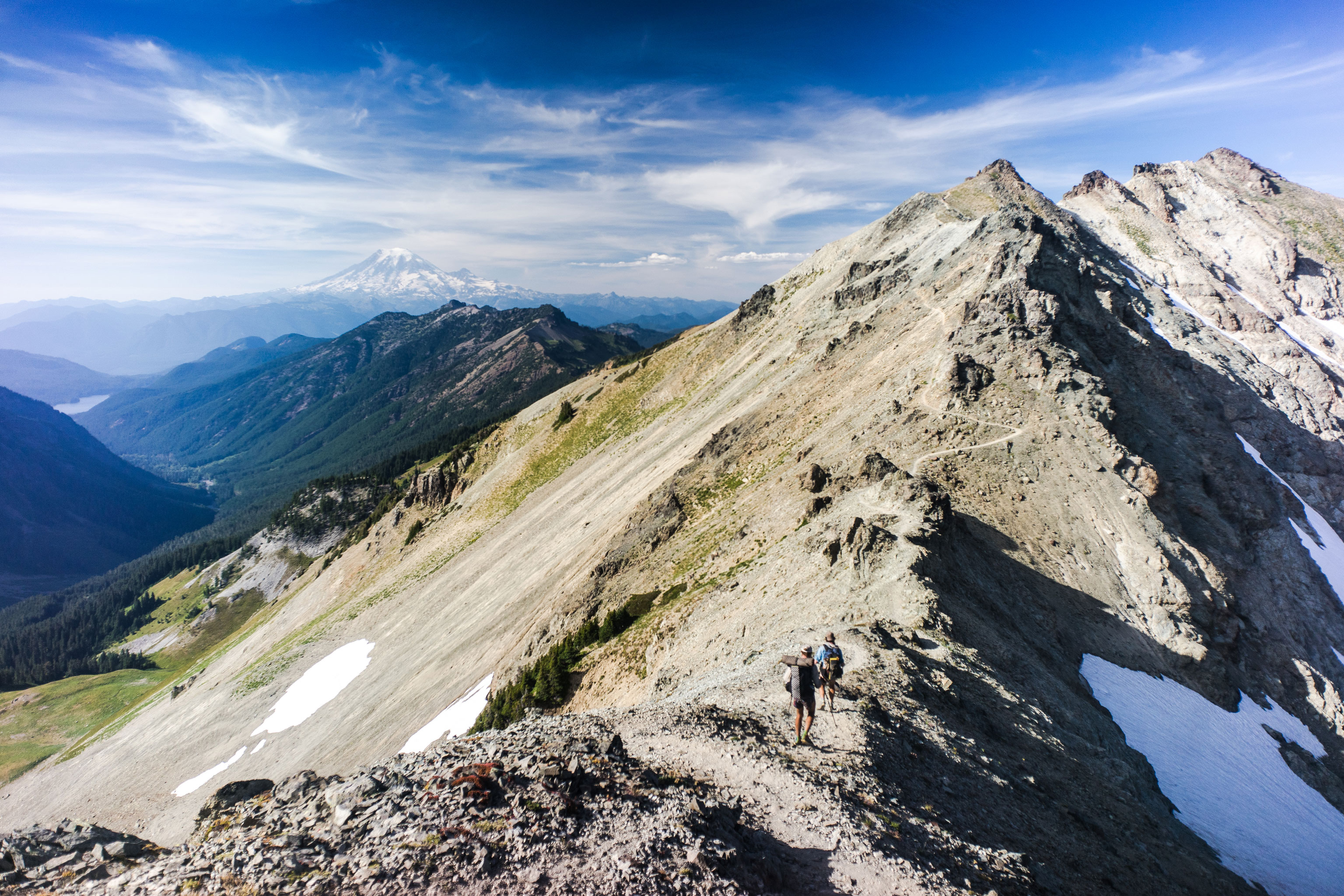
7 Pacific Northwest Trail
The Pacific Crest Trail’s little brother – it may be shorter but it’s much more demanding. If the PCT is too busy for you, go for the PNT. Fewer than 30 people a year tackle the 1,930-kilometre trail through the rugged mountain wilderness of the states of Montana, Idaho and Washington. And no wonder. The navigation is definitely not straightforward. Some sections lead through dense forest with no trails, others through labyrinthine forestry tracks. The paths are also in much worse condition than on the PCT. But the views from the mountain heights more than make up for it.
Expect endless trees, impressive glaciers and crystal-clear, turquoise mountain lakes. On its way to the Pacific, the trail connects the most important mountain ranges in the Northwest USA: Continental Divide, Purcell Mountains, Selkirk Mountains, Cascade and Olympic Mountains. Chances are also very good of catching a glimpse of a grizzly bear, a cougar or wolves during this lengthy hike.
Tour Profile Pacific Northwest Trail
Data & Terrain
Skills & Info
Grading
Footwear suggestion
Country: USA
Length: 1,930 km
Vertical metres: 64,000
Stages: Adaptable
Duration: approx. 3 months
Terrain: Forest and mountains, high mountains
Suitable for: Adventurous hikers looking for very remote mountain regions; not suitable for beginner thru-hikers or thru-hikers without mountaineering experience
Accommodation: Tent
Personal requirements: Very good fitness levels and highly extensive outdoor experience
Navigation ability: Excellent navigation skills with or without map/compass/GPS
Info: pnt.org
8 Yangtze River Trek
Chinese adventure: From the Tibetan highlands to the East China Sea near Shanghai – the Yangtze is the third longest river in the world after the Nile and the Amazon, and the longest in China. At 6,400 kilometres in length, the Yangtze Trek follows it from its source to the sea. It’s like an ultra-marathon of a long-distance hiking trail. In 2019, Briton Ash Dykes was the first, and so far only, person to complete the entire route. It is hard to imagine a more immersive way to get to know the country and its people.
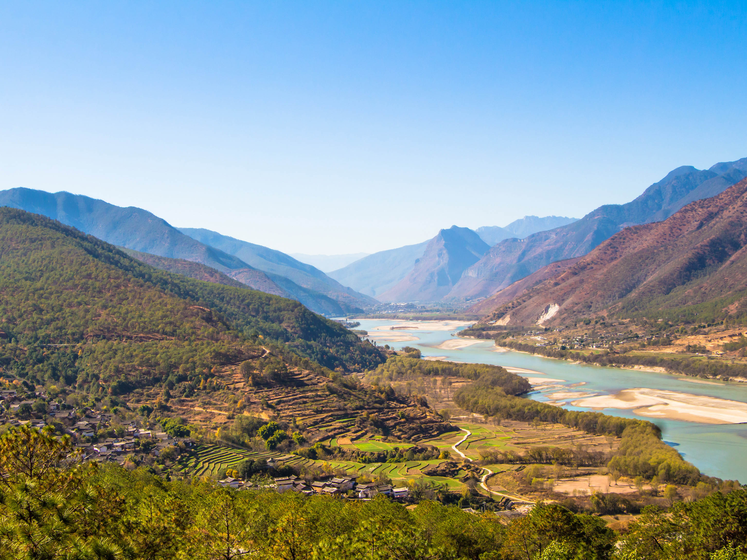
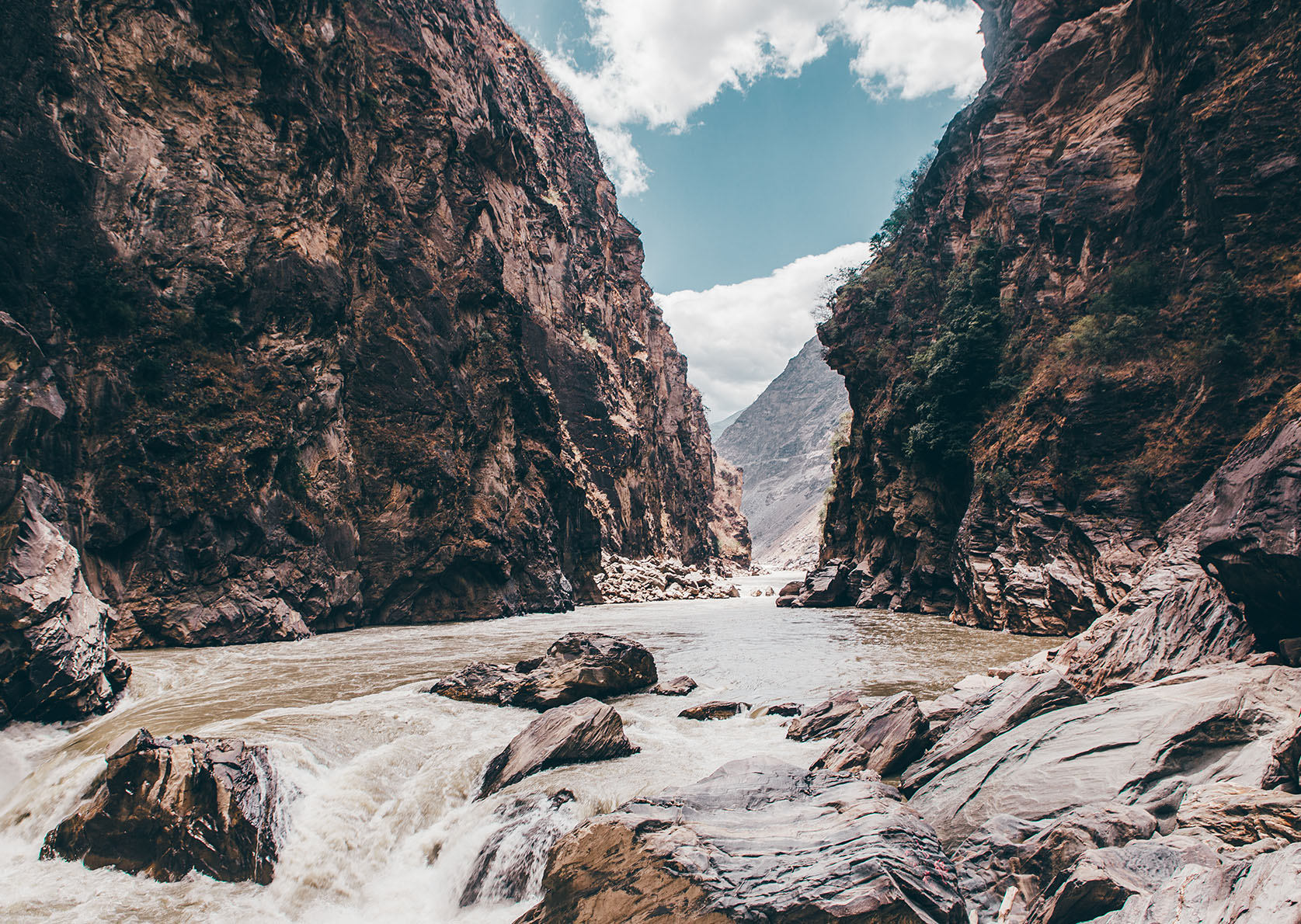

Mountaineering skills – the source lies at 5,100 metres – are needed as well as a lot of improvisational skills and the ability to navigate. One of the route’s highlights should be familiar to seasoned China travellers: the Three Gorges region with the world’s biggest dam. But plenty of water is likely to flow down the Yangtze before this long-distance trek is officially established.
Tour Profile Yangtze River Trek
Data & Terrain
Skills & Info
Grading
Footwear suggestion
Country: China
Length: 6,400 km
Stages: Adaptable
Duration: approx. 1 year
Terrain: High mountains, forests, deserts, cities, wilderness without trails, every type of climate
Suitable for: Individualists with plenty of experience, stamina and a keen interest in Chinese culture
Personal requirements: Very good fitness and outdoor experience, and highly extensive travel experience in foreign countries
Navigation ability: Excellent navigation skills with or without map/compass/GPS
Info: Trailer Doku National Geographic

9 Tokai Nature Trail
Following the footsteps of the samurai: “If you have to walk 100 miles, it’s best to tell yourself that 90 is only the halfway point,” goes a Japanese proverb. But does this also apply to the Tokai Nature Trail? The 1,700-kilometre long-distance hiking trail runs from Tokyo to Osaka and offers a deep insight into Japan’s nature and culture. It leads in part through regions of the country that are hardly developed for tourism and that foreigners rarely get to see. For three days, the long-distance trail circumnavigates Mount Fuji.
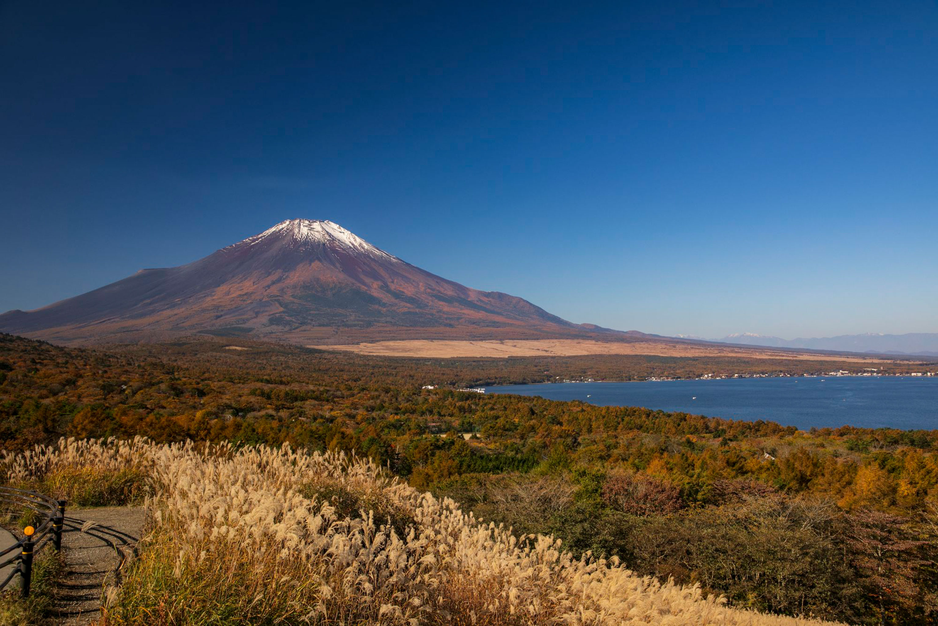
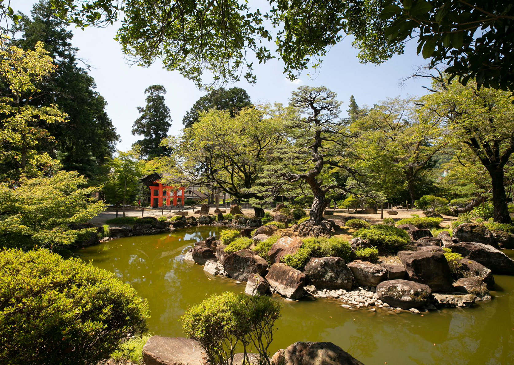
Anyone who immediately associates Japan with the hustle and bustle of people will get to know the quiet side of the country on the Tokai Nature Trail. Stretches of it are hardly frequented at all. Most sections are well maintained and on the tame side. However, as the trail passes through many mountainous areas, it does require a solid level of fitness. From a logistical point of view, the trail is fairly easy. Even though it is called a Nature Trail, the route is not a wilderness hike as such – rather a relaxed cultural adventure in the Land of Smiles with many friendly people along the way.
Tour Profile Tokai Nature Trail
Data & Terrain
Skills & Info
Grading
Footwear suggestion
Country: Japan
Length: 1,700 km
Vertical metres: Approx. 38,000
Stages: Adaptable
Duration: Approx. 3 months
Terrain: Largely lower mountain ranges
Suitable for: Thru-hikers interested in culture
Accommodation: Tent (wild camping allowed) hostels, hotels
Personal requirements: Good fitness levels, independent travel experience an advantage
Navigation ability: Very good navigation skills with map / compass / GPS
Info: nomadictom.blogspot.com

10 Sultan’s Trail
The Sultan’s Trail is a proper long-distance hike through cultural landscapes, from St. Stephen’s Cathedral in Vienna all the way to the Süleymaniye Mosque in Istanbul. The main route follows the trail used by the Ottoman ruler Sultan Süleyman on his campaign to Vienna. In 1529, it took him 141 days.
This long-distance hiking trail steeped in history includes numerous cultural sites, but it also features plenty of nature. It spans the divide between West and East. The exact route taken by the Sultan is not known. Instead, the Sultan’s Trail follows traditional trade routes. Parts of it run along the European long-distance trail E8. A symbol of international friendship in action, following in the footsteps of history.
Tour Profile Sultan’s Trail
Data & Terrain
Skills & Info
Grading
Footwear suggestion
Countries: Slovenia, Hungary, Croatia, Serbia, Romania, Bulgaria, North Macedonia, Greece, Turkey
Length: 2,500 km
Stages: 115
Duration: Approx. 4 months
Terrain: Mostly lower mountains and lowlands
Suitable for: Long-distance culture vultures; not suitable for thru hikers only seeking remote wilderness
Accommodation: Guest houses, hotels, in Hungary and Bulgaria you need a tent.
Personal requirements: Good level of fitness, cultural interest
Navigation ability: Basic navigation skills with compass/ map/ GPS
Info: sultanstrail.com

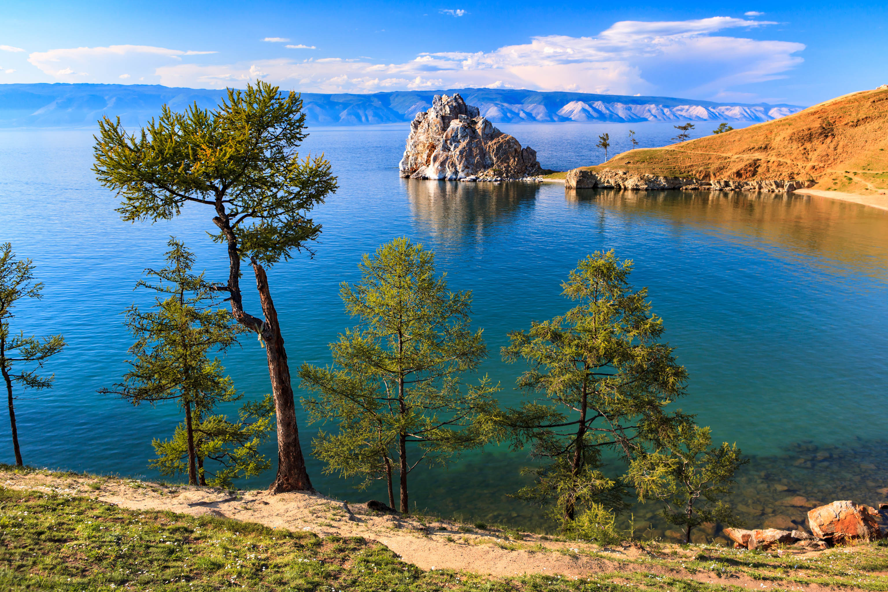
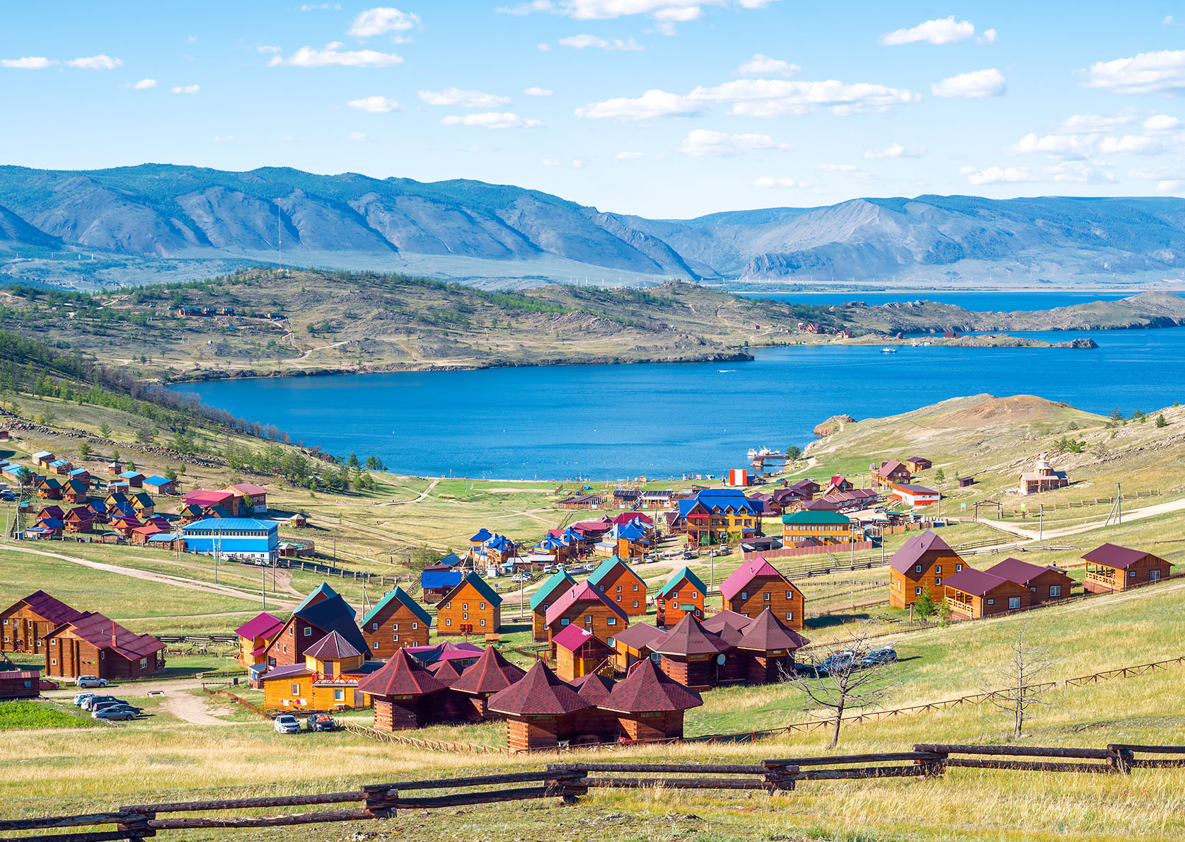
11 Great Baikal Trail
Hiking in the vast expanse of Siberia: Not only is Lake Baikal the deepest lake in the world, circumnavigating it is probably the longest lake hike on this planet. The Great Baikal Trail covers 1,800 kilometres through the forest and steppe landscape of Siberia.
Currently, the trail is primarily an unofficial route. The idea for this long-distance hiking trail came from the Russian writer and scientist Oleg K. Gusev, who was inspired by the Appalachian Trail in America.
Work on the project, which is geared towards sustainability, has been ongoing since 2003 and is carried out by international volunteer groups who complete new sections every summer. Currently, about a quarter of the trail is complete. One section leads through the Pribaikalsky National Park, which requires a permit. Until this thru-hike trail is fully established however, circumnavigating Lake Baikal is still an adventurous undertaking.
If you’re interested in helping build the Great Baikal Trail, you can register here.
Tour Profile Great Baikal Trail
Data & Terrain
Skills & Info
Grading
Footwear suggestion
Country: Russia
Length: 1,800 km
Stages: Adaptable
Duration: Approx. 3 months
Terrain: Nordic forest and steppe
Suitable for: Experienced globetrotters, the long, unmarked sections are best suited to hikers who enjoy route finding.
Accommodation: Tent, private accommodation.
Personal requirements: Good level of fitness, very good outdoor experience
Navigation ability: Where there are no marked trails, excellent navigation skills required and extensive travel experience in foreign countries
Info: greatbaikaltrail.org
12 Fisherman’s Trail
Coastal hiking on the cliffs of the Algarve: wide sandy beaches, dunes and steep, rugged cliffs. On the Fisherman’s Trail the whiff of salty sea air is always in your nose. The long-distance hiking route in southwest Portugal is part of the Rota Vicentina. On this well signposted thru hike, navigation is a cinch. And there are plenty of opportunities to unwind on idyllic Atlantic beaches and in picturesque fishing villages.
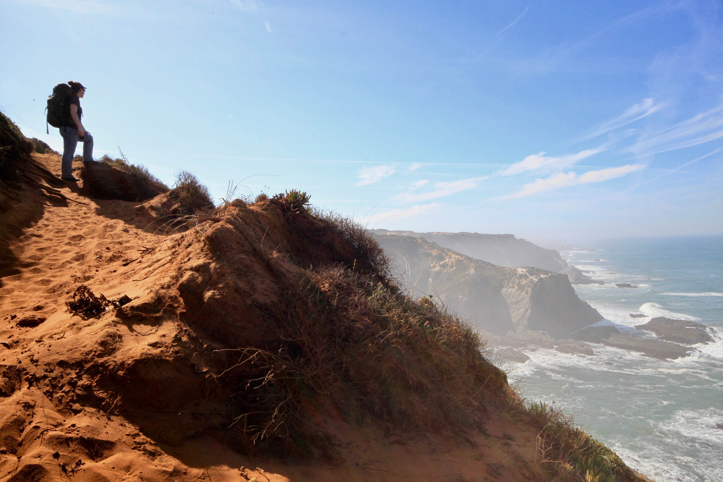
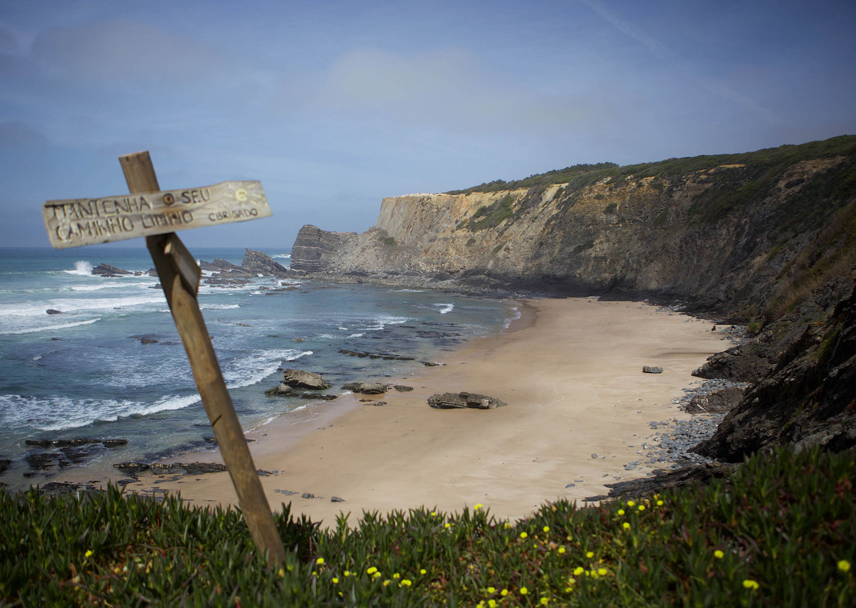
Starting off in Porto Covo in the Sudoeste Alentejano e Costa Vicentina Nature Park, the trail finishes at the southern tip of Portugal. Because of the good infrastructure, the shorter sections can be completed in just a few days. There are plenty of swimming spots for water lovers, and pine and cork forests provide shade in between. For fish fans this European long distance trail is a real culinary delight.
Tour Profile Fisherman’s Trail
Data & Terrain
Skills & Info
Grading
Footwear suggestion
Country: Portugal
Length: 226 km
Vertical metres: approx. 5,000
Stages: 13
Duration: approx. 3 months
Terrain: Sea cliffs, beaches, forests, sandy soil
Suitable for: Thru-hiking beginners and people who love the coast
Accommodation: Hostels and hotels, campsites, wild camping not permitted
Personal requirements: Good fitness, the trail is partly over sandy, energy-sapping soil
Navigation ability: Basic navigation skills with a map
Info: rotavicentina.com
Reading: Trekking Portugal’s Rota Vicentina, Cicerone Press

Further reading: Hiking the Fisherman’s Trail in Portugal
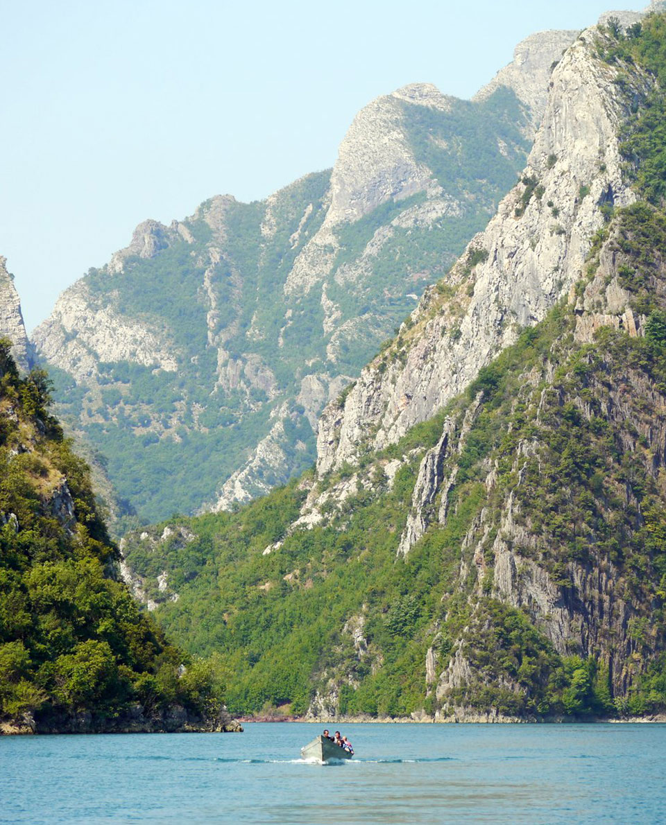
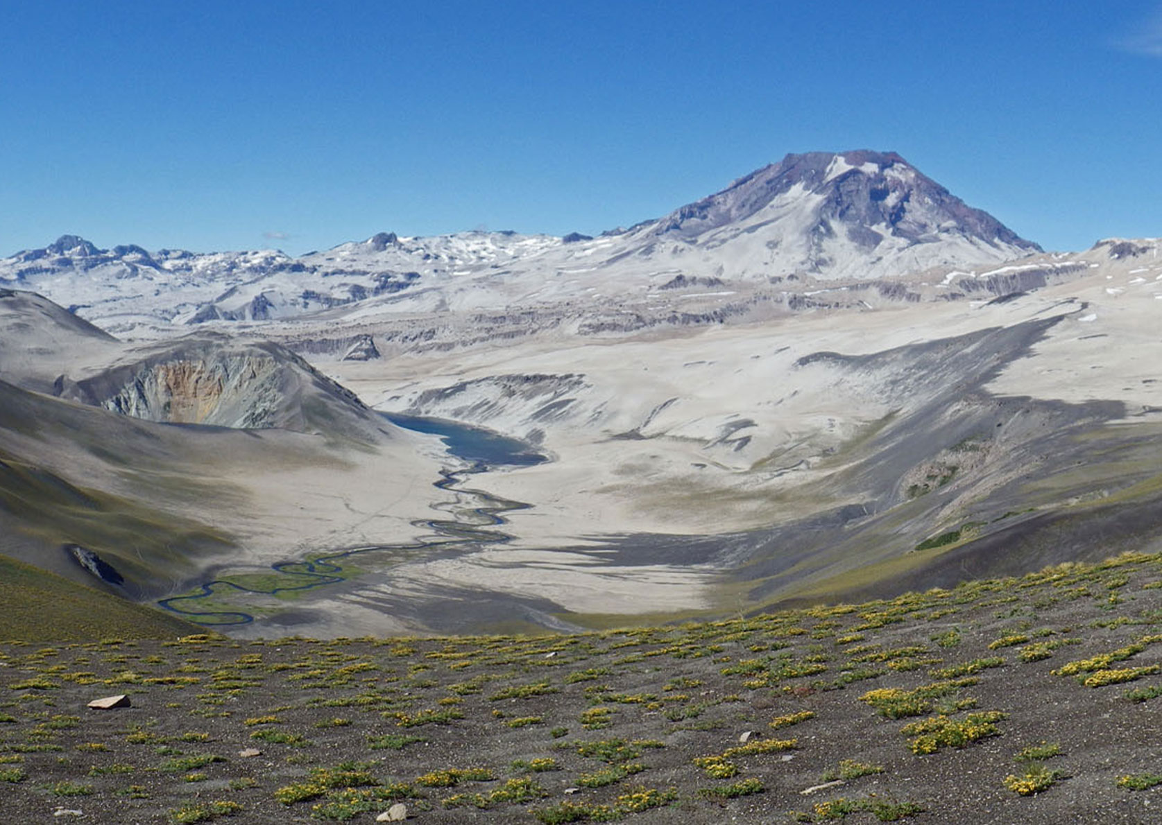
13 Greater Patagonian Trail
The ultimate adventure, hiking through the vast expanse: The Greater Patagonian Trail is not a marked long-distance trail. It is a collection of unofficial routes from Santiago de Chile to the southernmost point of the South American mainland.
The Greater Patagonian Trail was founded by German Jan Dudeck, who has since spent years on hiking, horseback and packraft trips through Chile and Argentina. “Even experienced thru-hikers have foundered on the Greater Patagonian Trail,” muses Jan. “In the wide-open spaces of Patagonia, there is no community support. Most of the time you are on your own. You have to accept that you are just a visitor in a foreign world.”
The main way it differs from other long-distance hiking trails is that the Greater Patagonian Trail is a network of hiking trail options (totalling around 20,000 kilometres). The main routes running from North to South alone add up to 5,000 kilometres.
Before setting out, extensive preparation and planning are essential. Detailed maps are not available in many regions. Navigation and route finding are a challenge even for experienced hikers. Another challenge is sourcing food and drink in areas far from civilization.
Want to know more? Then check out the documentary film ‘Unbounded‘ which follows four young hikers on the Greater Patagonian Trail.
Tour Profile Greater Patagonian Trail
Data & Terrain
Skills & Info
Grading
Footwear suggestion
Countries: Chile, Argentina
Length: Approx. 5,000 km
Stages: Adaptable
Duration: Several seasons
Terrain: Varied landscapes, remote deserts and mountains, Pacific coast
Suitable for: Experienced adventurers only: not suitable for beginners
Accommodation: Tent, more recently hostels or as a private guest
Personal requirements: Only for experienced outdoors people with ample experience of self-supported journeys
Navigation ability: Excellent navigation skills and experience with or without map/ compass/ GPS
Info: trekkingchile.com; Wiki Explora
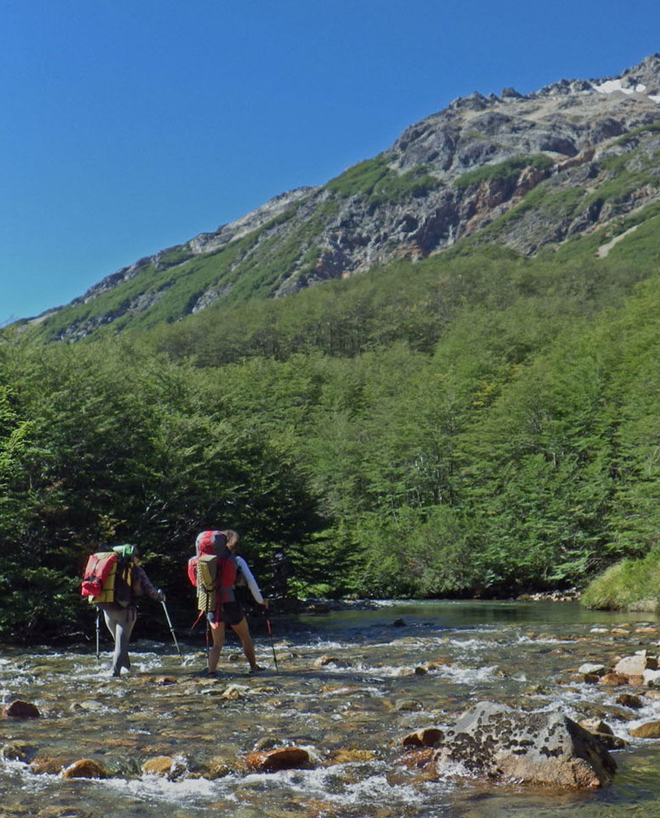
14 Circuito Dientes de Navarino
It doesn’t always have to be month-long long-distance hikes. The southernmost trekking route in the world also has unforgettable adventures to offer. Wild, windswept mountain ranges, crystal-clear mountain lakes and impressive fjord landscapes.
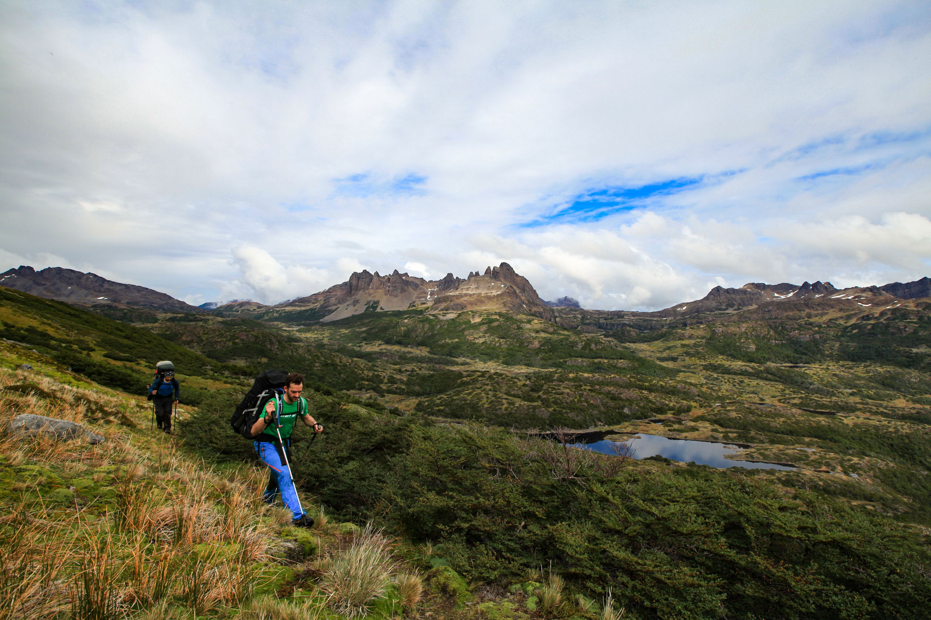
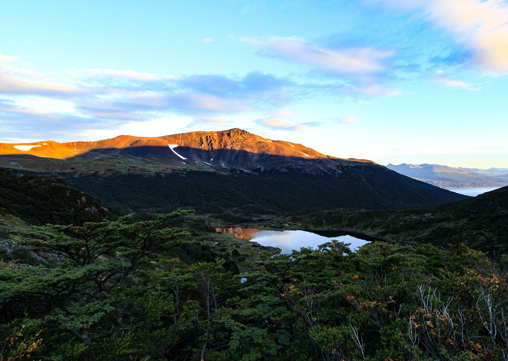
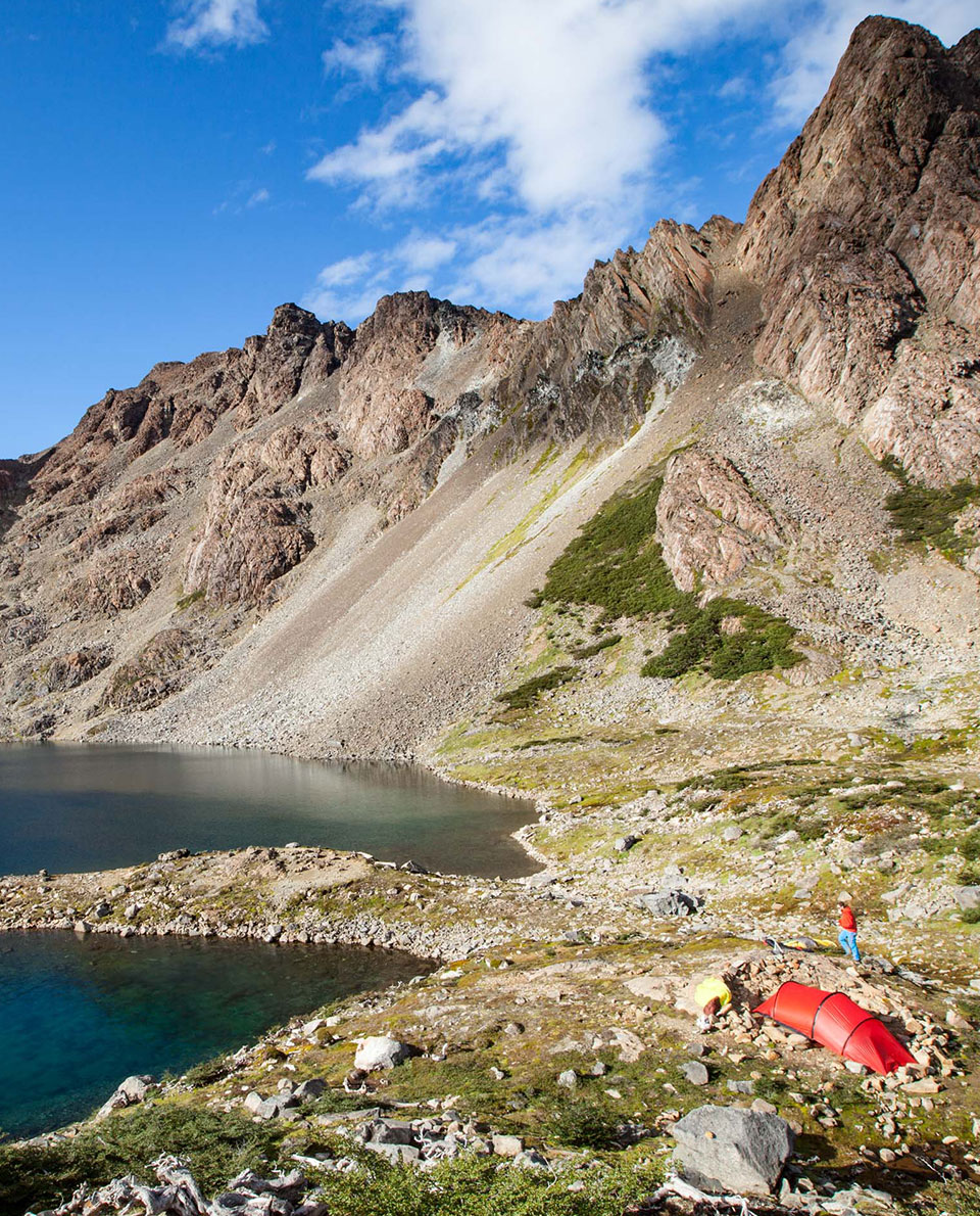
The starting point is the fishing village of Puerto Williams – the southernmost village in the world. The 53-kilometre trek, which is partly without trails, circles the craggy mountain peaks of the Dientes de Navarino range and leads through swamplands and southern beech forests. An unforgettable adventure for trekking fans able to cope with stormy, chilly weather.
Tour Profile Circuito Dientes de Navarino
Data & Terrain
Skills & Info
Grading
Footwear suggestion
Country: Chile
Length: 53 km
Stages: Adaptable
Duration: Approx. 5-7 days
Terrain: Patagonian forest and mountains
Suitable for: Trekking fans used to foul weather and with good outdoor experience
Accommodation: Tent and huts
Personal requirements: Good fitness levels
Navigation ability: Good navigation skills with map/ compass/ GPS
Info: dustyboots.blog

Christian Penning
Often found on high-alpine summits, or wild, windy beaches. In the mountains of Bavaria, the Western Alps or South America – mountaineering, trekking and trail running.