Updated on
Hiking the German Green Belt (‘Grünes Band’). The former border that separated East and West Germany is nearly 1,400 kilometres long. Thorsten Hoyer did it in one go. And shares his hike story through German history in five chapters.
Part 5: The call of the sea and the call of freedom
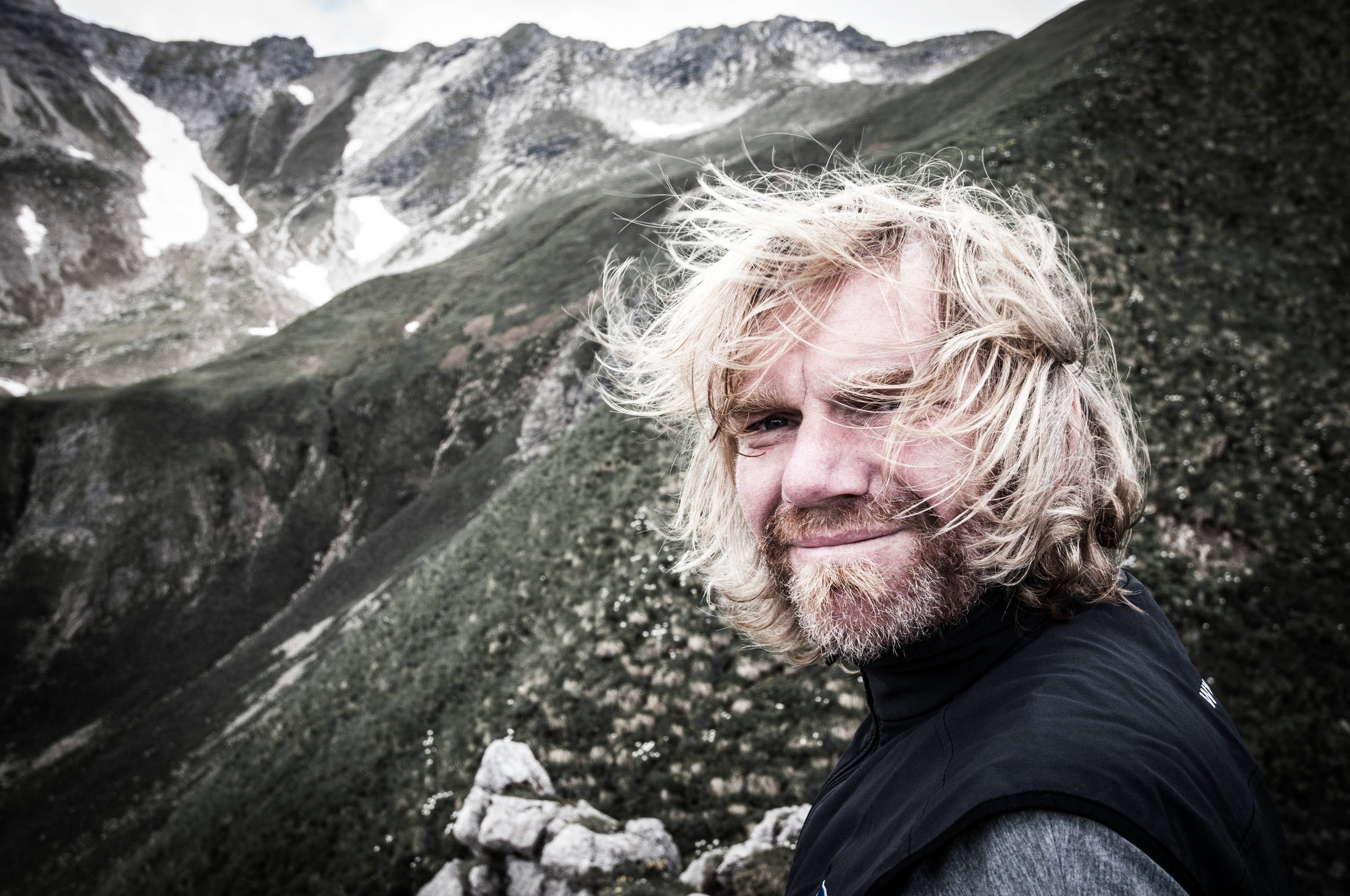
Thorsten Hoyer: He’s one of Germany’s best-known long-distance hikers – and a member of the HANWAG Sole People team (–> Thorsten Hoyer Portrait). Thorsten was born in Hesse, in western Germany, but now lives in Erfurt in the eastern state of Thuringia. He’s best known for his non-stop hiking tours – including the Green Belt, which he hiked in 24 days.
At Schnackenburg, I reach the River Elbe, where the German regions Saxony-Anhalt, Lower Saxony and Brandenburg meet in the middle of its waters. Schnackenburg is the easternmost municipality in Lower Saxony and has just 550 inhabitants. As such, it’s the least densely populated town in what used to be West Germany.
Between 1945 and 1990, it was a kind of West German outpost on the border with East Germany. Now, in an old fisherman’s house next to the town’s small harbour there is a museum about the former border that documents this once ‘sensitive’ location.
I had actually planned to take the small ferry over the Elbe to the northern Brandenburg side. However, the ferry is not working, so I follow the dike on the southern Lower Saxon side of the river and then cross over at Dömitz, the southernmost village in Mecklenburg-Western Pomerania. The carefully restored half-timbered houses here are fascinating. And so is the ingenious ‘Soft Ice Pirates’ ice cream shop.
Welcome to the ‘Village Republic’ of Rüterberg
Hiking Germany’s Green Belt with Thorsten Hoyer: Chapter overview
–> Part 1: Why hike Germany’s Green Belt?
–> Part 2: Green Belt: The former border in Thuringia
–> Part 3: Heading for the Rhön mountains
–> Part 4: From the Rhön to the Harz
–> Part 5: The call of the sea and the call of freedom
It still makes its soft-serve ice cream following an original East-German VEB recipe. VEB is short for ‘VolksEigener Betrieb’ or Publicly Owned Enterprise that used to be the main form of industrial enterprise in the former German Democratic Republic. Reaching the small village of Rüterberg, I encounter another farcical episode in history. Its inhabitants were surrounded by a wall that completely cut the community off from the rest of East Germany, so they proclaimed it a ‘village republic’. This was on 8 November 1989, just a day before the fall of the Berlin wall.
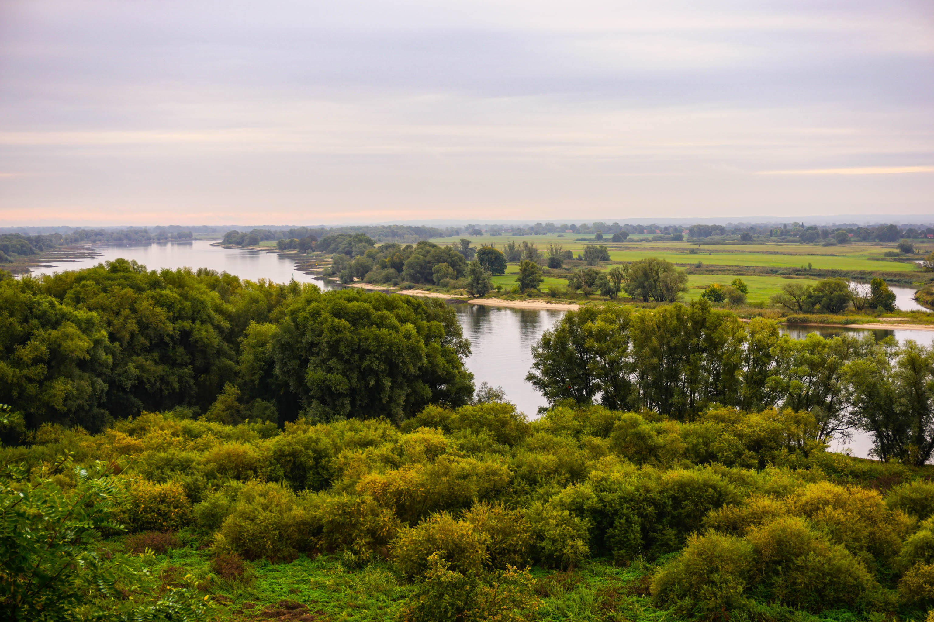
Until now, I’ve had mostly warm and sunny weather. Hiking along the dike next to the Elbe, I get my first really rainy day. It appears that I am hiking into autumn. However, this in no way spoils the views of the unique wetland landscape along the river with its prolific birdlife. The trail through the Lauenburger Seen nature reserve with its sandy soil reminds me of my 300-kilometre trek through the Lüneburg Heath. I really like these heathland areas, typical of North Germany.
Tragic death at the border
You can find a lot of information about the Green Belt on the BUND website (in German only).
During my hike, I’ve seen many memorial sites. Many of them commemorate those who paid for their dream of living in freedom with their lives. Suddenly, I find myself standing here in the middle of this beautiful landscape in front of another memorial.
It’s for Michael Gartenschläger, whose story deeply affects me. Like so many young people in East Germany, he wanted to escape, but failed. After years in prison for attempted ‘Republikflucht’ (desertion from the republic), his freedom was purchased by West Germany. However, this was not the end of his resistance to the East German regime.
To prove that East Germany was deploying anti-personnel mines along the inner German border, he dismantled two of them live from the border defences. During a third attempt on 30 April 1976, he was executed by troops from the East German State Security Service, the Stasi. He was shot 120 times.
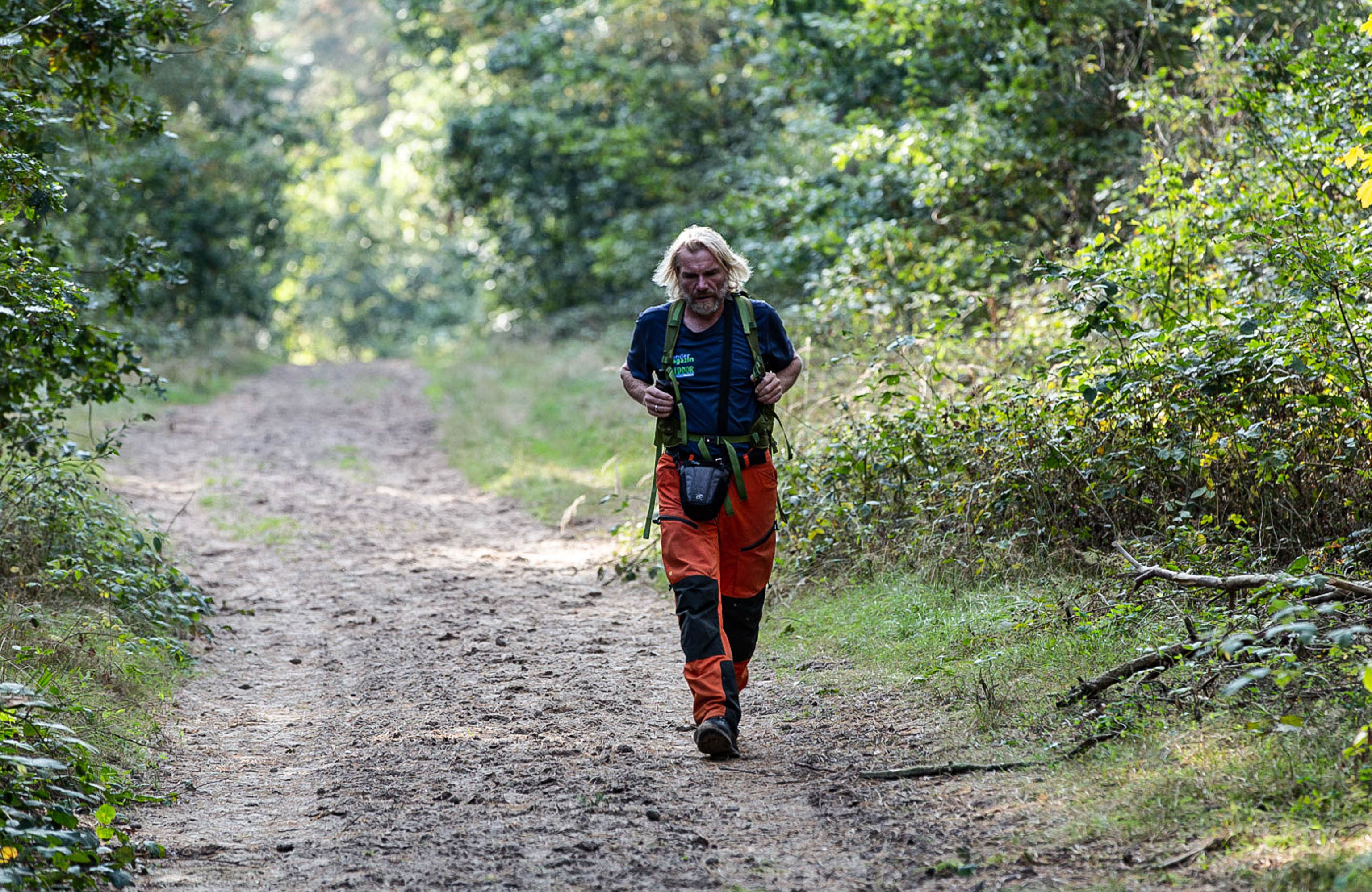
I find myself constantly thinking of Michael Gartenschläger’s story as I continue on my way. And of what a former East German border soldier once told me: “Ultimately, everyone knew that attempting to cross the border unlawfully could end in death.”
My route follows the idyllic shores of Lake Schaalsee, whose calm, silky waters mirror the sunlight. The former inner German border ran right through the middle of the lake, which posed particular problems for the German Democratic Republic. Hobby sailors from West Germany often came too close to the invisible border and that’s not all.
Mighty oaks and beeches run down to its shores. Seeing these mighty, old trees, I can’t help but wonder what they must have witnessed. Whose fates have they witnessed? What would they tell us if they could?
“I don’t want to stand still. I want to keep moving.”
Thorsten HoyerMaybe their story wouldn’t be that interesting after all as trees remain rooted to the same spot their entire lives. I don’t want to stand still. I want to keep moving. As I head on, is that the sea I can smell? But it’s wishful thinking. Probably due to my desire to finally get there.
I’m getting near to the Free and Hanseatic City of Lübeck. I might not be able to see the Baltic yet, but I know it lies ahead somewhere, beyond the fields. Over the final kilometres, I experience many mixed emotions. I’m keen to get there, to be able to say “I’ve made it”. But I also feel a sadness, a leave-taking, almost melancholia.
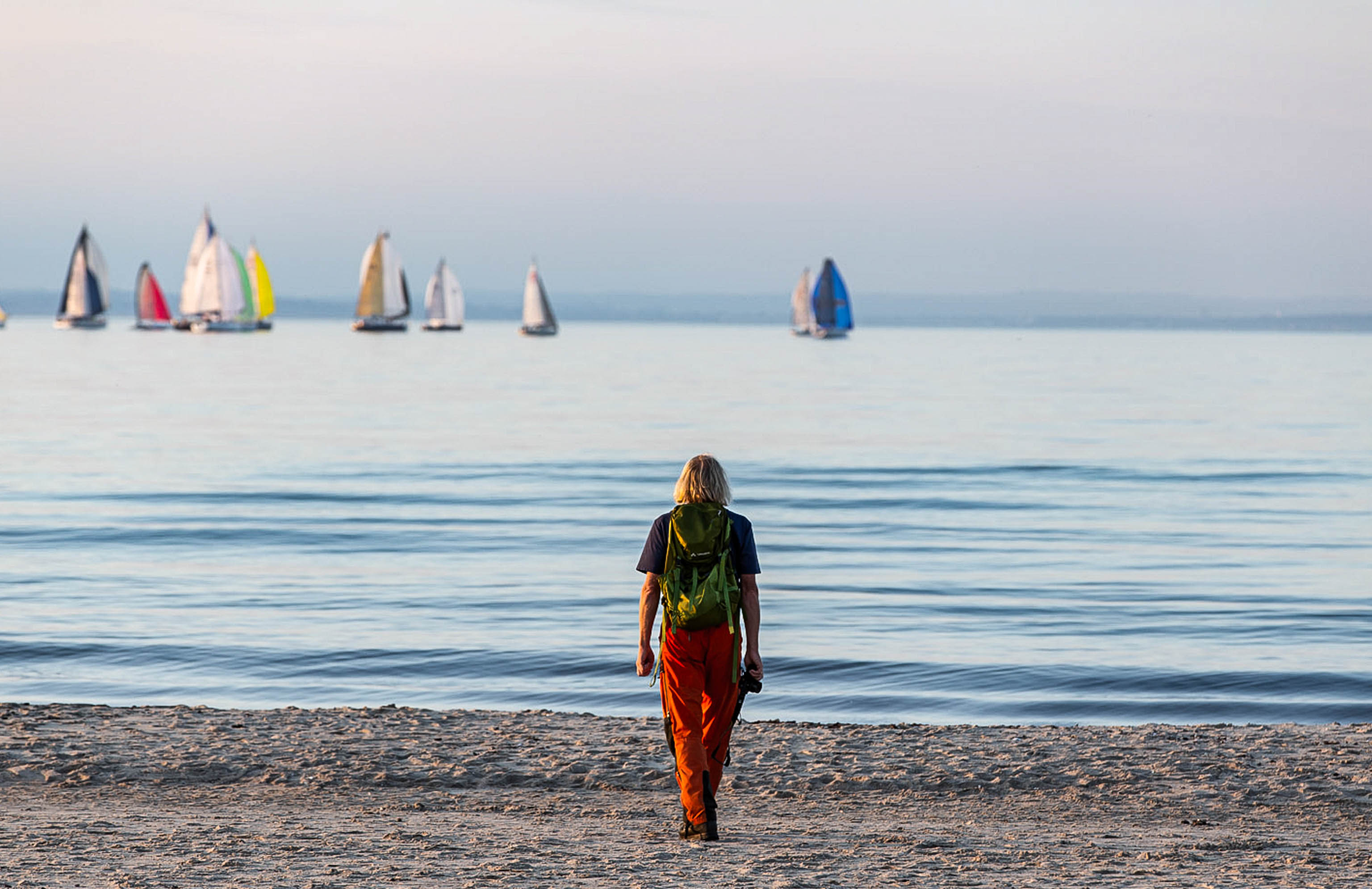
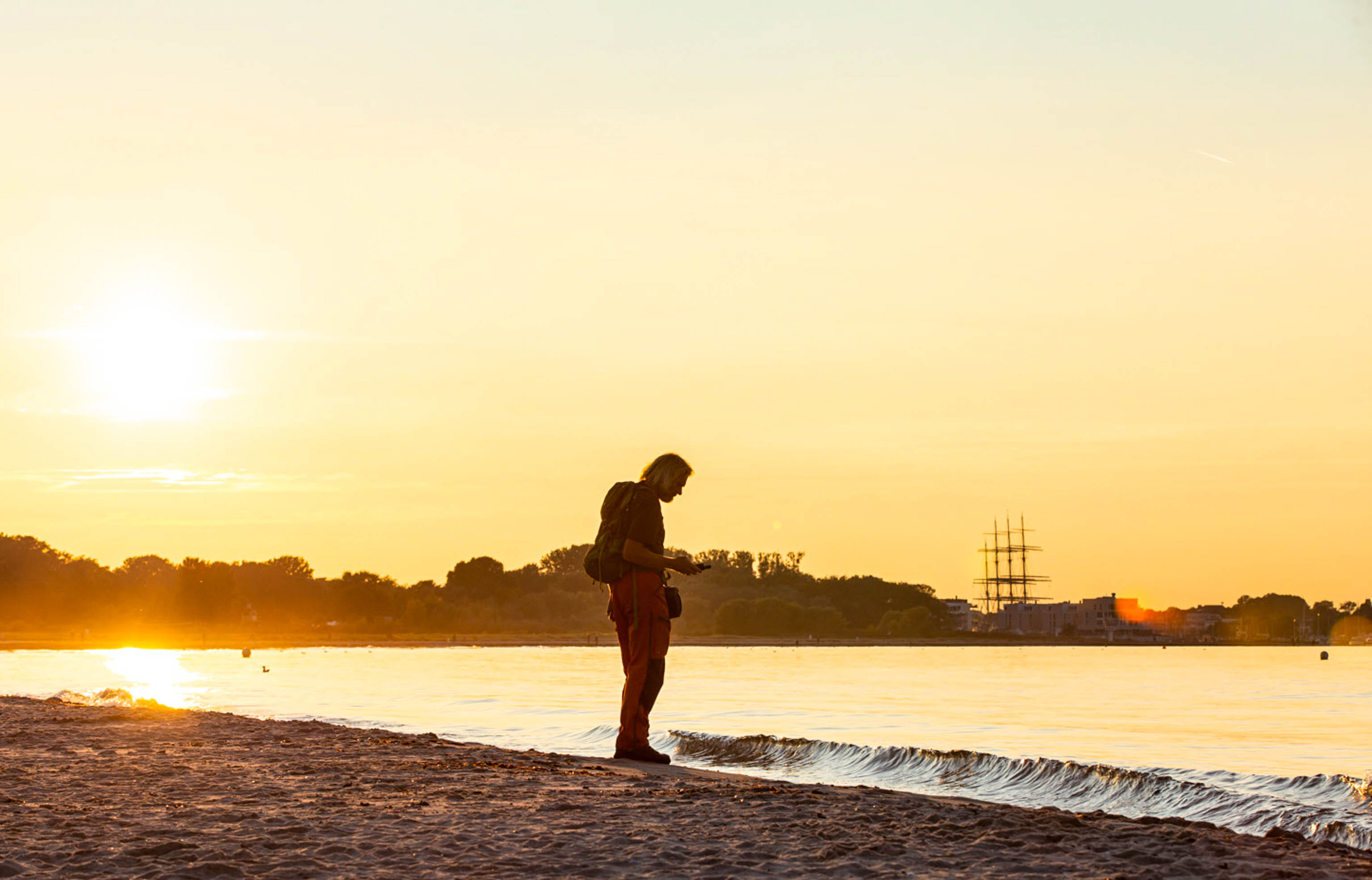
As I walk the final metres, I am not alone. I talk to my wife and my daughter on the phone. Accompanied by them, I leave the hard concrete pavements to step onto the soft, sandy Baltic beaches. Seashells on the shore crunch under my feet. The salty air smells of seaweed. As the sun sets, a ferry arrives from Sweden at the port of Travemünde.
There are only a few people about, but it still feels like too many to me. Apart from Philippe, ‘my’ filmmaker and photographer, who turns with a broad grin and gives me a big hug. We enjoy the moment. We’ve made it. Yet at the same time, all the emotions of the past weeks come flooding back.
“I experience a huge wave of gratefulness and humility.”
Thorsten HoyerSilently, we crouch there by the sea, as a strong sense of gratefulness and humility washes over us. I’ve made it. And I also know that it doesn’t end here. Not because night has fallen and it’s now pitch black. The day after tomorrow, I will travel to Berlin, to walk the Berlin Wall Trail. It traces the former western half of the city. A total of 160 kilometres without sleep. The icing on the cake, as it were.
Hiking the German Green Belt with Thorsten Hoyer: Go back to the start

