Hiking Germany’s Green Belt – Along the former border
Updated on
Hiking the German Green Belt (‘Grünes Band’). The former border that separated East and West Germany is nearly 1,400 kilometres long. Thorsten Hoyer did it in one go in 24 days. And shares his hike through German history in five chapters.
Part 1: Why hike Germany’s Green Belt?
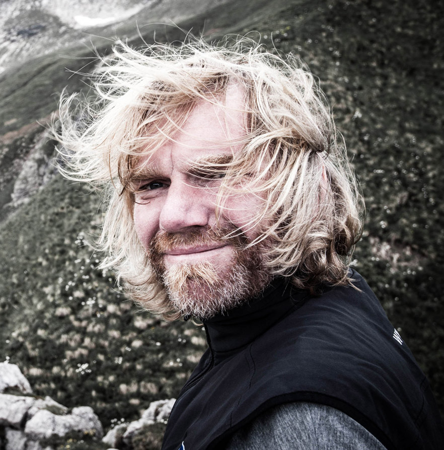
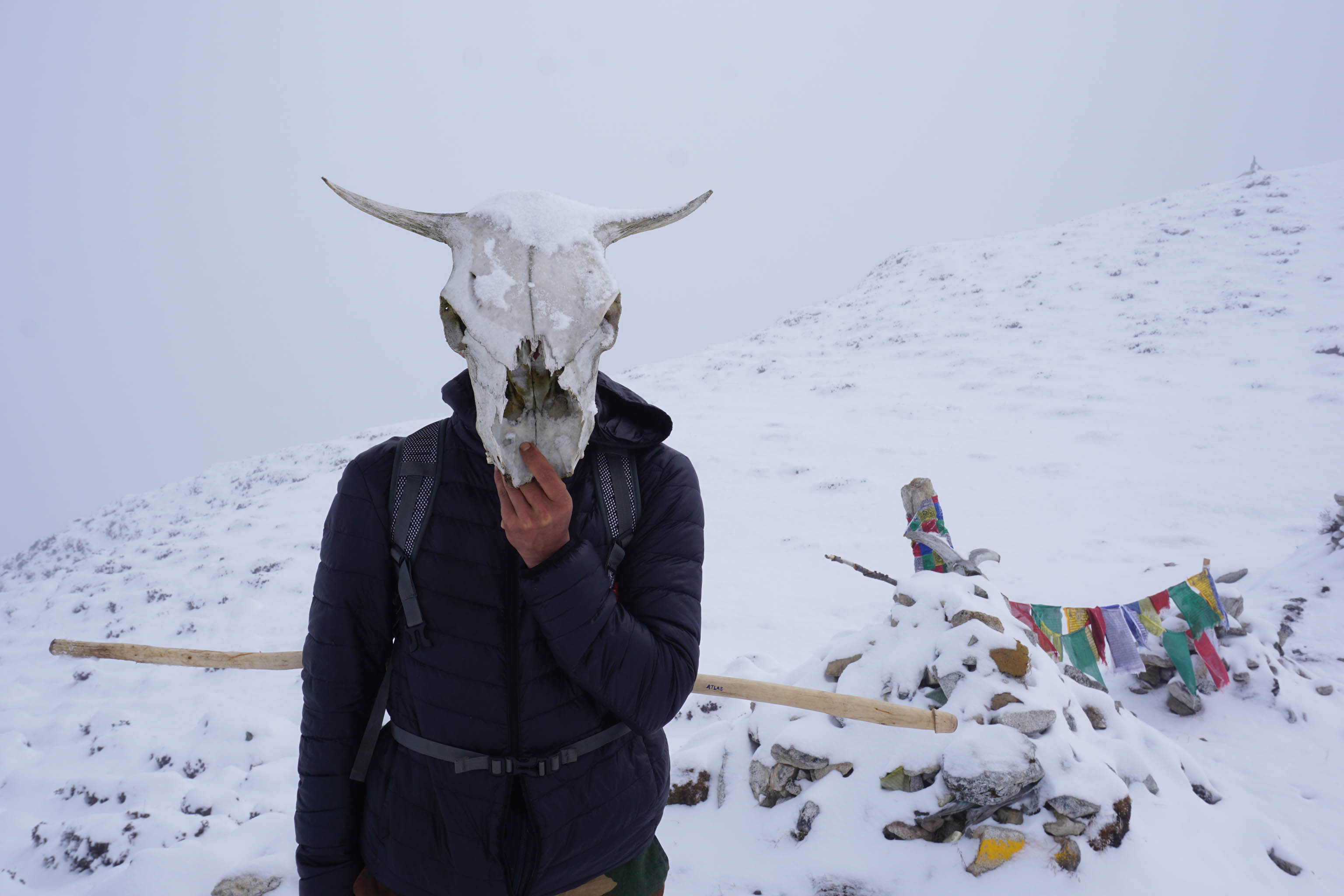
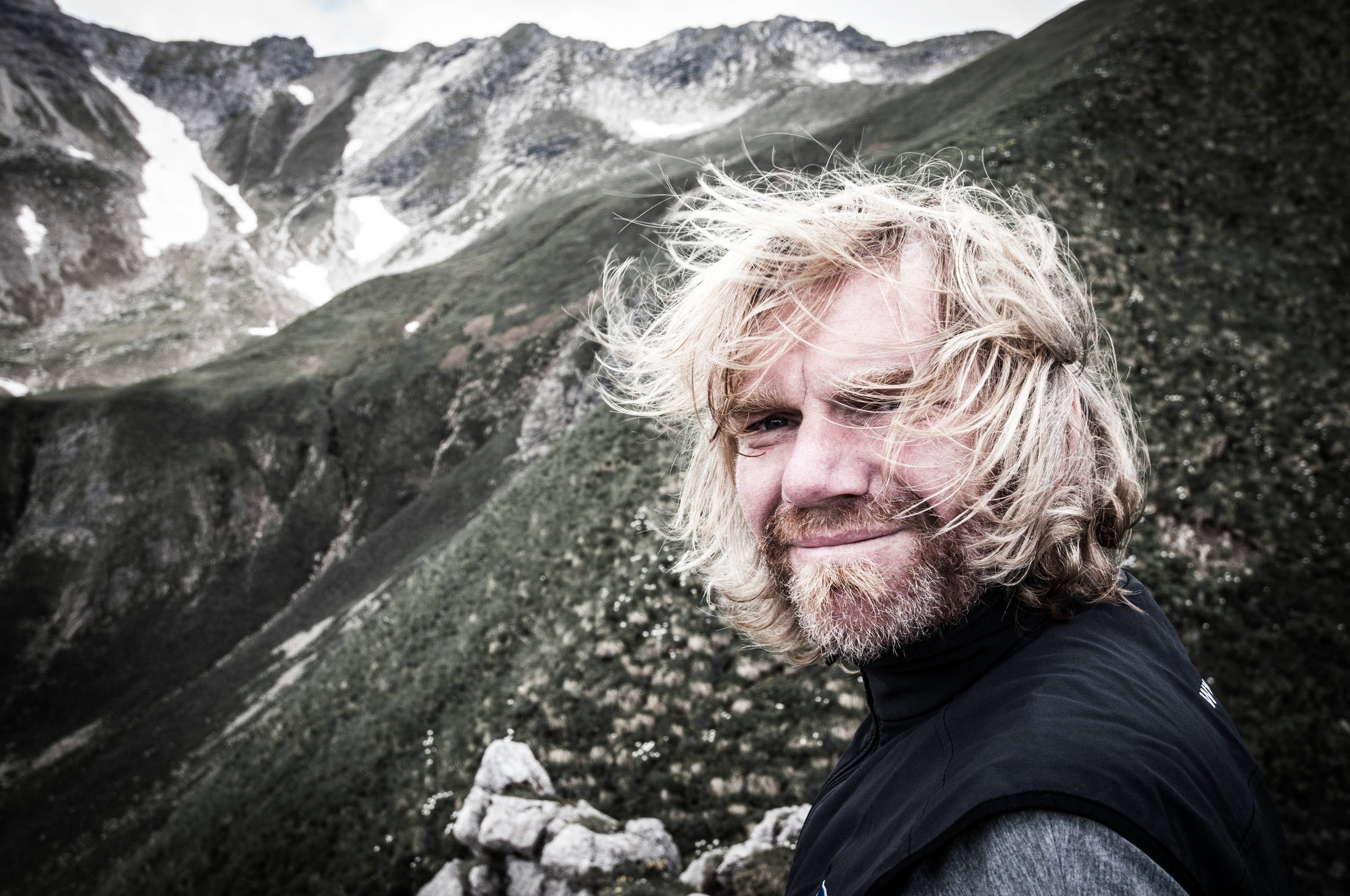
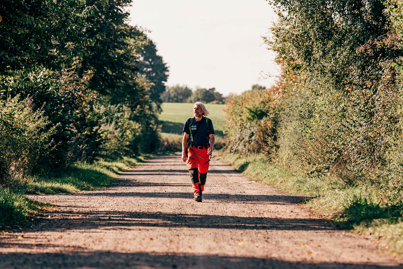
Thorsten Hoyer: He’s one of Germany’s best-known long-distance hikers – and a member of the HANWAG Sole People team (–> Find out more: Thorsten Hoyer Portrait). Thorsten was born in Hesse, in western Germany, but now lives in Erfurt in the eastern state of Thuringia. He’s best known for his non-stop hiking tours – including the Green Belt, which he hiked in 24 days.
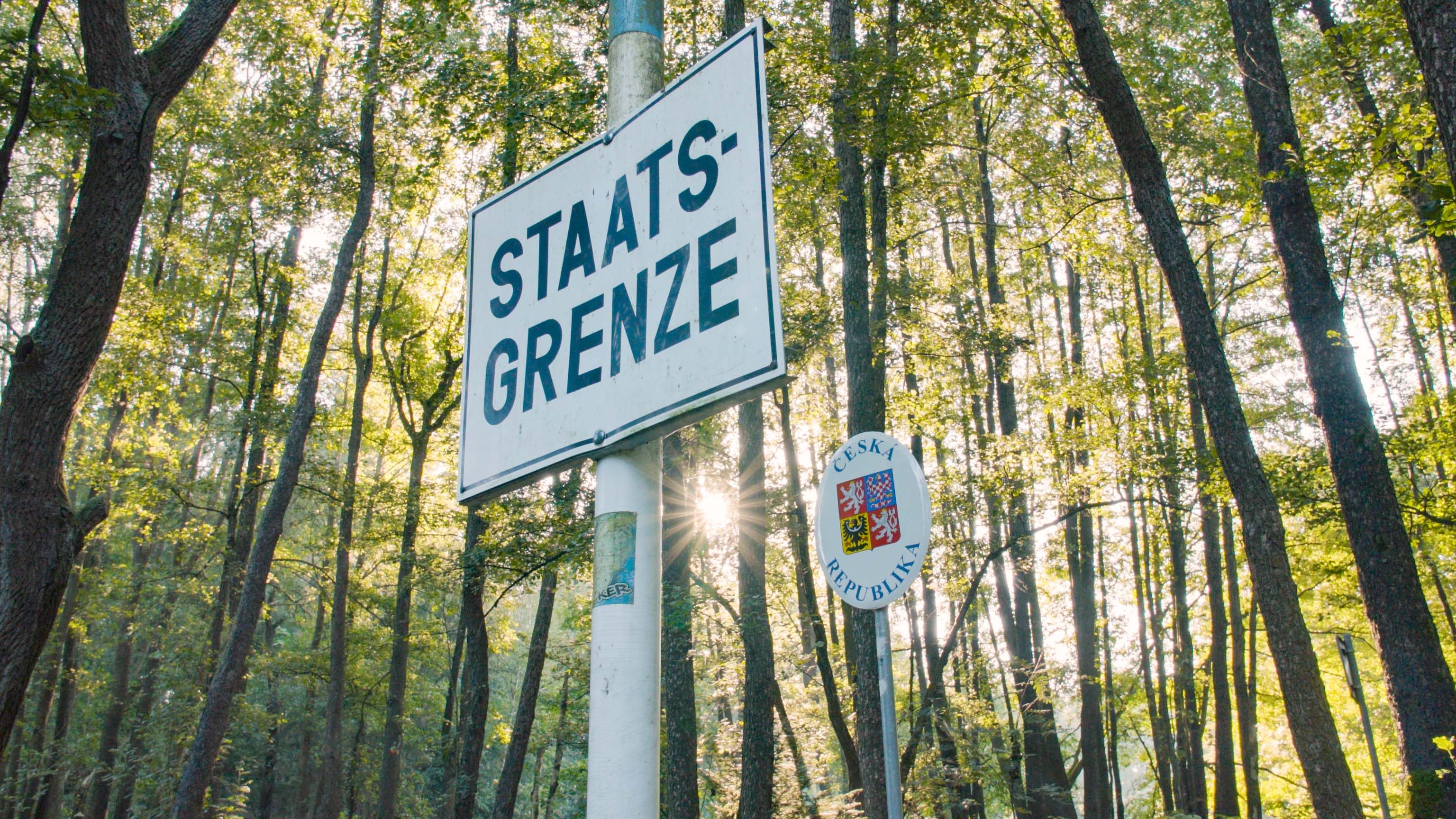
From death strip to lifeline – could there be a better way to transform Germany’s former inner border? How did it become the Green Belt (Grünes Band), where today you can literally walk German history? For over 40 years, the former East/West German border strip formed part of the ‘Iron Curtain’ which divided the democratic states of the West from the Communist regimes of Eastern Europe.
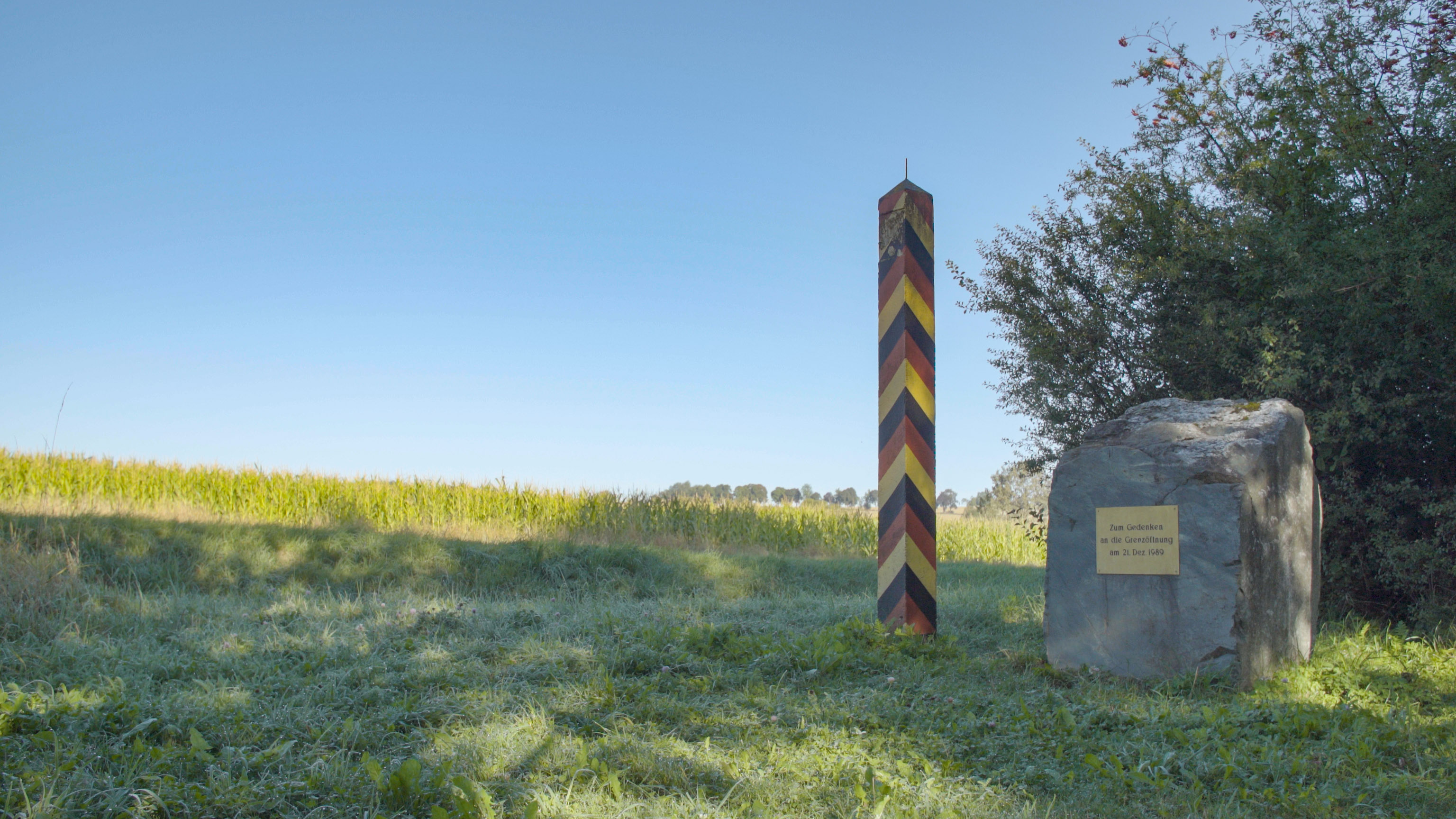
Nowhere was this line of division more heavily fortified than in Germany, where the GDR border was a physical manifestation of the ideological and physical division of people – with patrol tracks, control strips, anti-vehicle ditches, minefields, high metal fences and of course the infamous wall itself. Access to the near 1,400 km long and 500 m wide borderlands was exclusively for border troops, and so nature in the area was largely left to its own devices. As a result, a range of ecospheres developed and prospered: meadow and heathlands, rivers and lakes, wetlands and forests. The borderlands became a sanctuary for over 1,200 threatened species of plants and animals.
Following the reunification of Germany, the border infrastructure was demolished, and, in its place, ‘Germany’s Green Belt’ was established. To mark its 30th anniversary in 2020, this unique nature conservation project was given the title of “National Natural Monument”, to highlight its all-encompassing conservation status.
The Green Belt – History and nature together
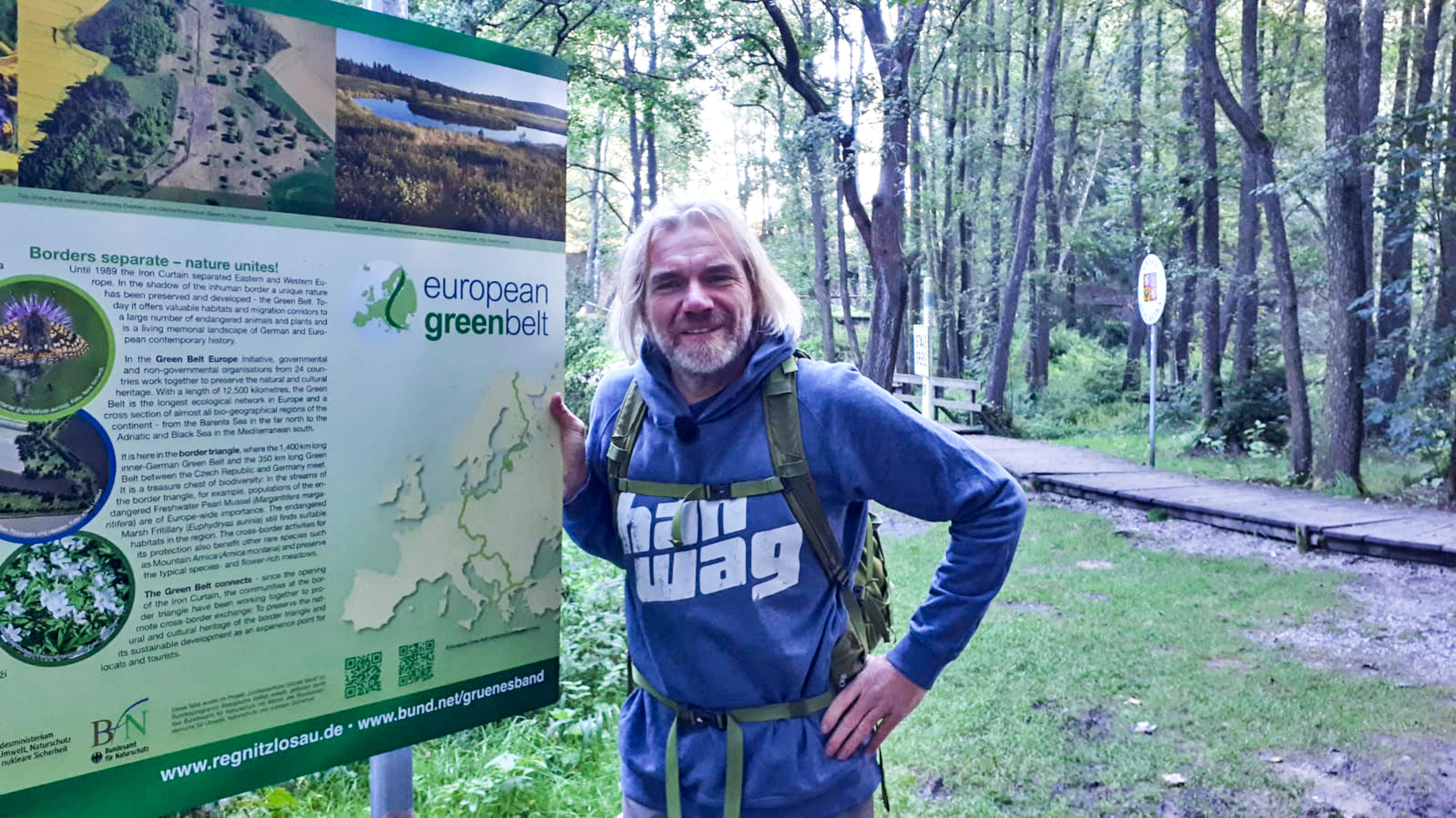
Like a green corridor running through all of Europe – the ‘European Green Belt’ runs from to the northernmost tip of Scandinavia right down to the Black Sea. Part of it: the German long-distance hiking trail ›Grünes Band‹. You can find more information about the Green Belt on the BUND website (in German only).
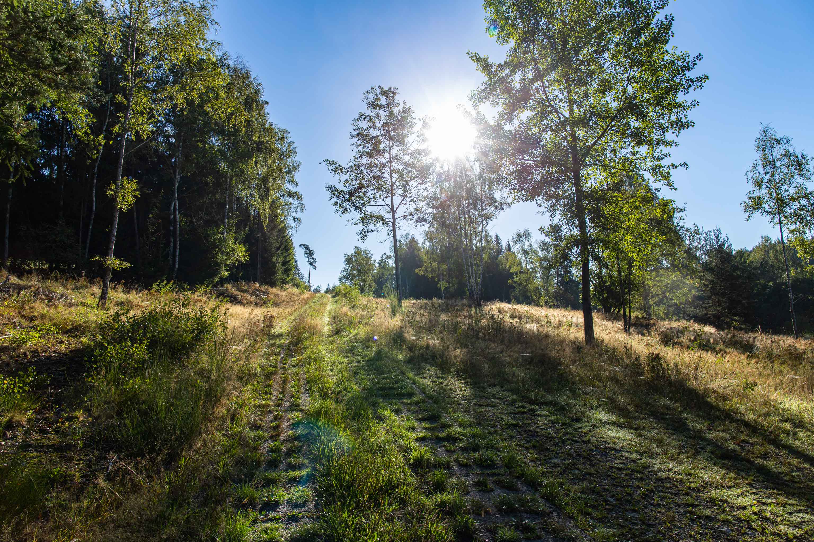
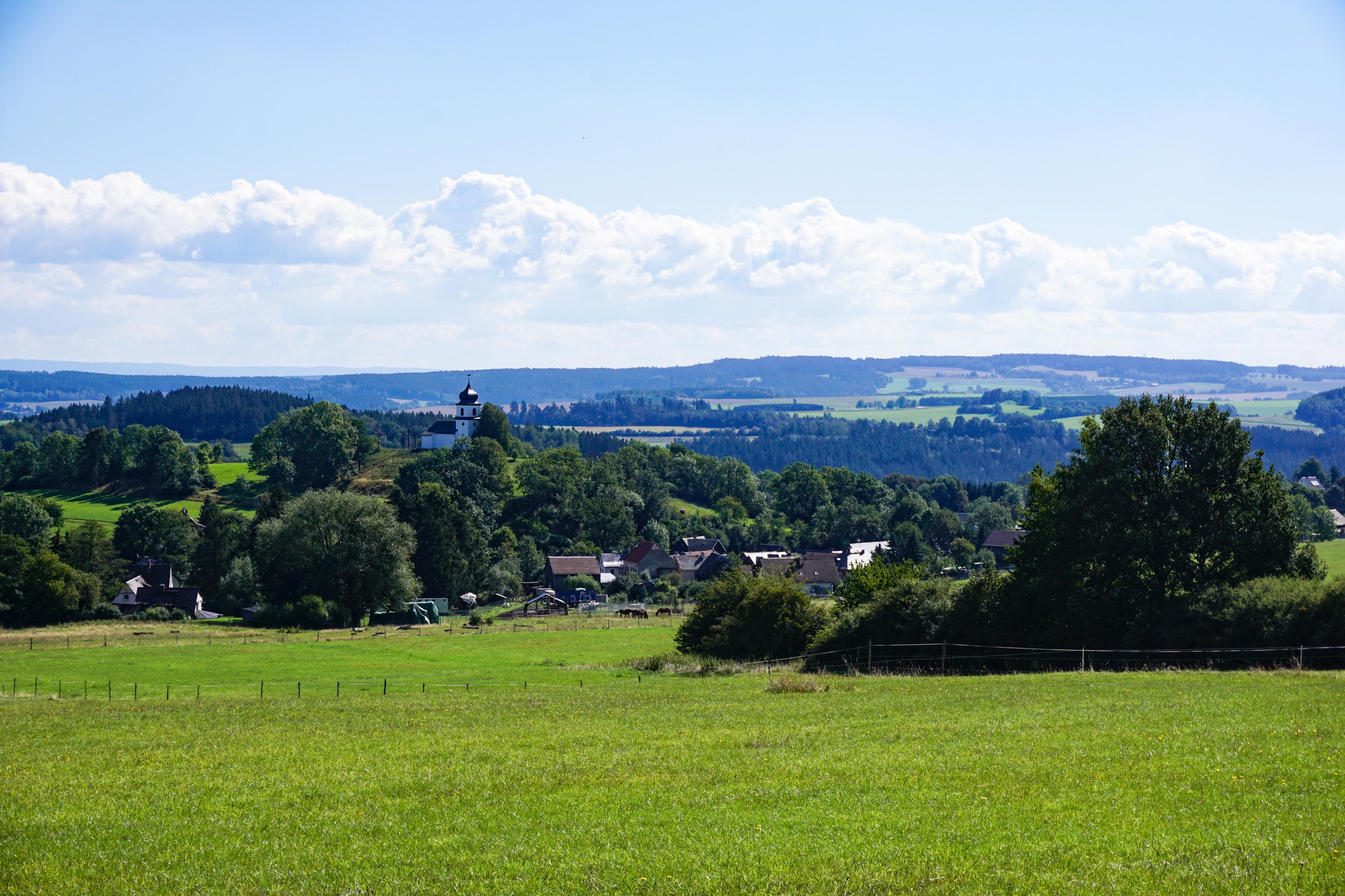
Hiking the Green Belt takes you through an amazing range of natural habitats. From Vogtland, which spans the states of Bavaria and Thuringia in Germany, and north-western Bohemia in the Czech Republic, to the mountain ranges of the Franconian Forest and along the well-known Rennsteig ridge trail down to the Rhone Valley with its open rolling hills.
Along the river Werra further north, it cuts through the Harz Mountains, with their ancient woodlands, and then traverses the North Germany’s highest mountain, the ‘Brocken’. Further north, the River Elbe characterises the landscape, until your hiking boots finally touch down in the white sands of the Baltic Coast.
The route itself is reason enough to set out, but there were also a few other reasons for me to hike the Green Belt. My life story is closely intertwined with the separation and reunification of Germany. My father fled East Germany to West Berlin. I only met my grandfather, who lived in East Germany, once in my life. It was 1979, and I was eleven years old, when we travelled into the ‘Bloc’. A few months later, images spread around the world of two families who had spectacularly escaped in a homemade hot air balloon. With the navy, I crossed the Warsaw Pact maritime border on board a submarine and spent the night in a harbour bar on the island of Rügen together with GDR soldiers.
“Hiking Germany’s Green Belt takes you through an amazing range of natural habitats.”
Thorsten HoyerTen years later, I bought an East German Wartburg car. Although the vehicle wasn’t mine for long, its former owner still has it to this day. I got married at Wartburg Castle, of course, and moved from the ‘West’ to the ‘East’. So, there are a multitude of reasons for me to embark on this special hiking journey. For 24 days along the former border patrol track, hiking the length of the Green Belt.
Hiking Germany’s Green Belt with Thorsten Hoyer: Chapter overview
–> Part 1: Why hike Germany’s Green Belt?
–> Part 2: Green Belt: The former border in Thuringia
–> Part 3: Heading for the Rhön mountains
–> Part 4: From the Rhön to the Harz
–> Part 5: The call of the sea and the call of freedom
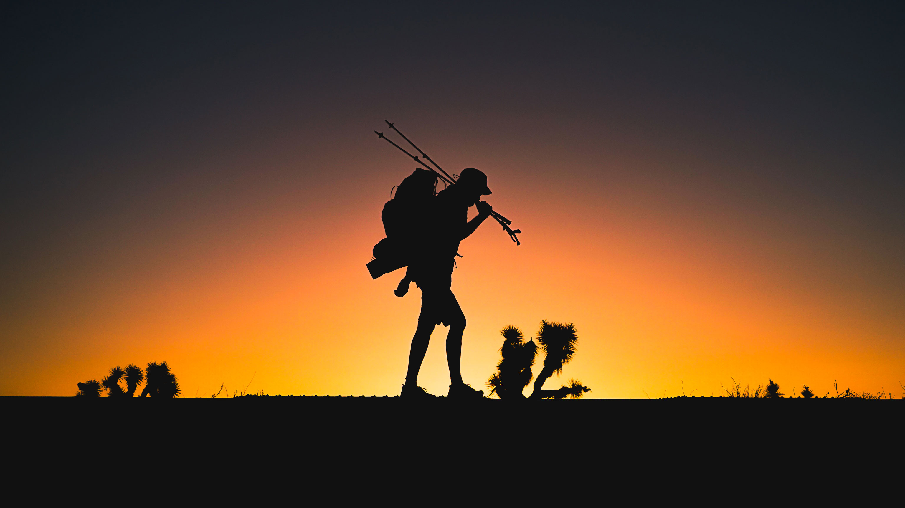
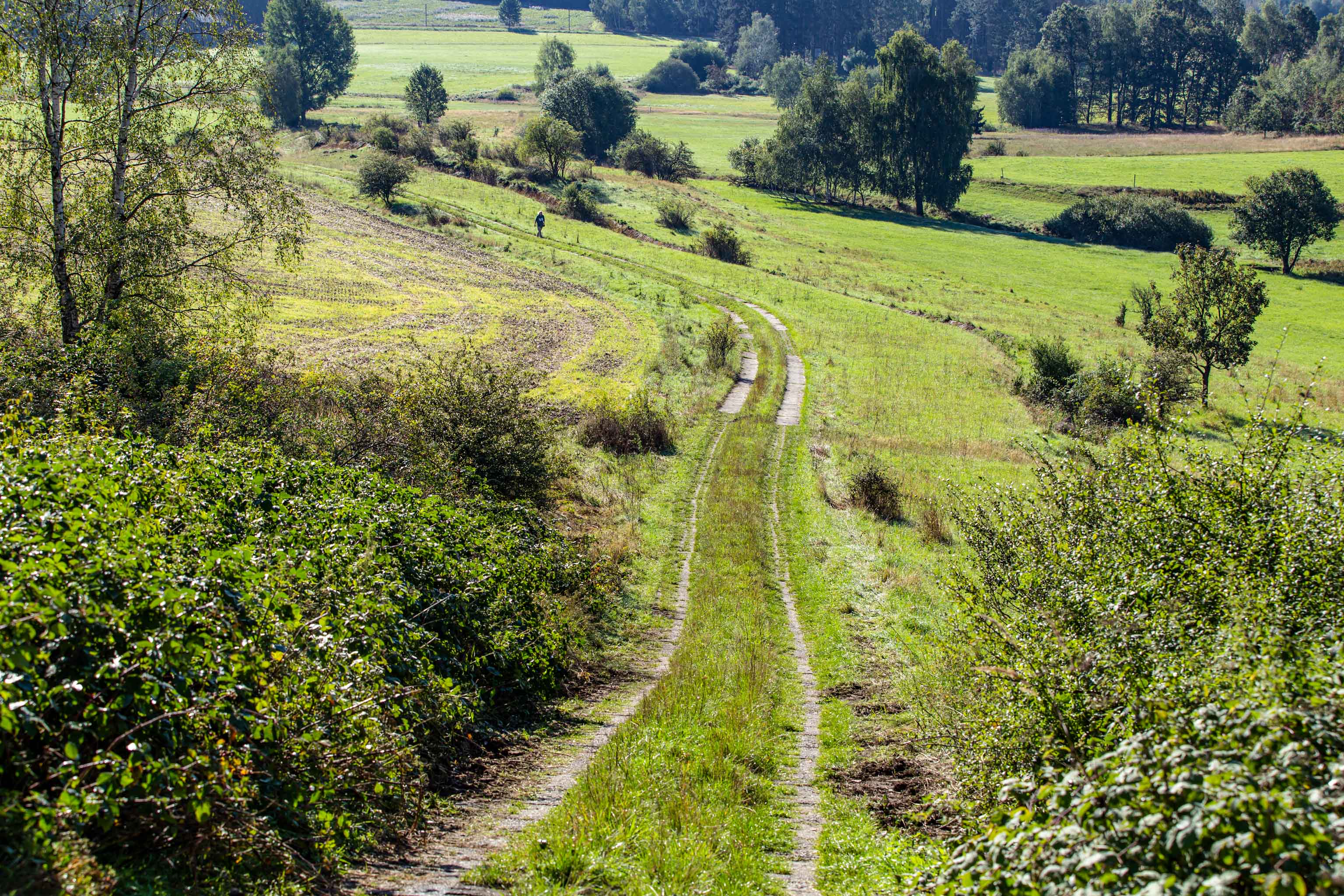
It’s time. I take the first step. The first of more than 100,000 on this journey along the length of the Green Belt, all the way to the Baltic Sea. Some 1,400 kilometres lie ahead. At first, there are no signs of the actual patrol trail with its characteristic concrete slabs. But they’ll turn up soon enough. Tough and agonisingly long sections of them.
But right now, I’m on trails running through fields and meadows that take me through an open landscape. What is noticeable however, are the kilometre-long anti-vehicle ditches, designed to prevent civilians escaping in ordinary vehicles.
“It’s time. I take the first step. Some 1,400 kilometres lie ahead.”
Thorsten HoyerThe sun shines down from a blue, cloudless sky, as I pass by the ruins of Hasenreuth. It’s the first in a series of villages whose residents were evicted and whose houses were demolished because they were too close to the border. At some stage, I notice the slabs underfoot that run parallel to the border fence for endless kilometres through Germany. 30 years later, I’m hiking on the same concrete that border troops used to patrol in their Trabant cars.
How my size 12 feet saved my ankle
It’s just gone 7 am and it’s a rather crisp September morningin the far north-eastern reaches of Bavaria. We’re standing (I’m joined for some of the trail by filmmaker Philippe Opigez) on the banks of the River Regnitz, which winds its way through shaded woods at the intersection between Saxony, Bavaria and the Czech Republic.
As more and more rays of sunlight make their way through the dense green of the woods, creating a beautiful atmosphere, my spirits are raised. But it’s not just the late summer weather that spurs me on, I’m keen to get going. To finally put the weeks and weeks of planning behind me and enjoy the thrill of setting out.
"Good thing that I have big feet"
Thorsten HoyerIt’s harder than it sounds. Because aside from the fact that I’m covering an average of 50 kilometres a day, the edges of the overgrown concrete slabs and the holes in them are hard to walk on, and easy to trip over. Good thing that I have big feet to anchor me to the ground, and my size 12s help me to find a reasonable rhythm. However, the treacherous holes are highly unforgiving of any lapse in concentration.
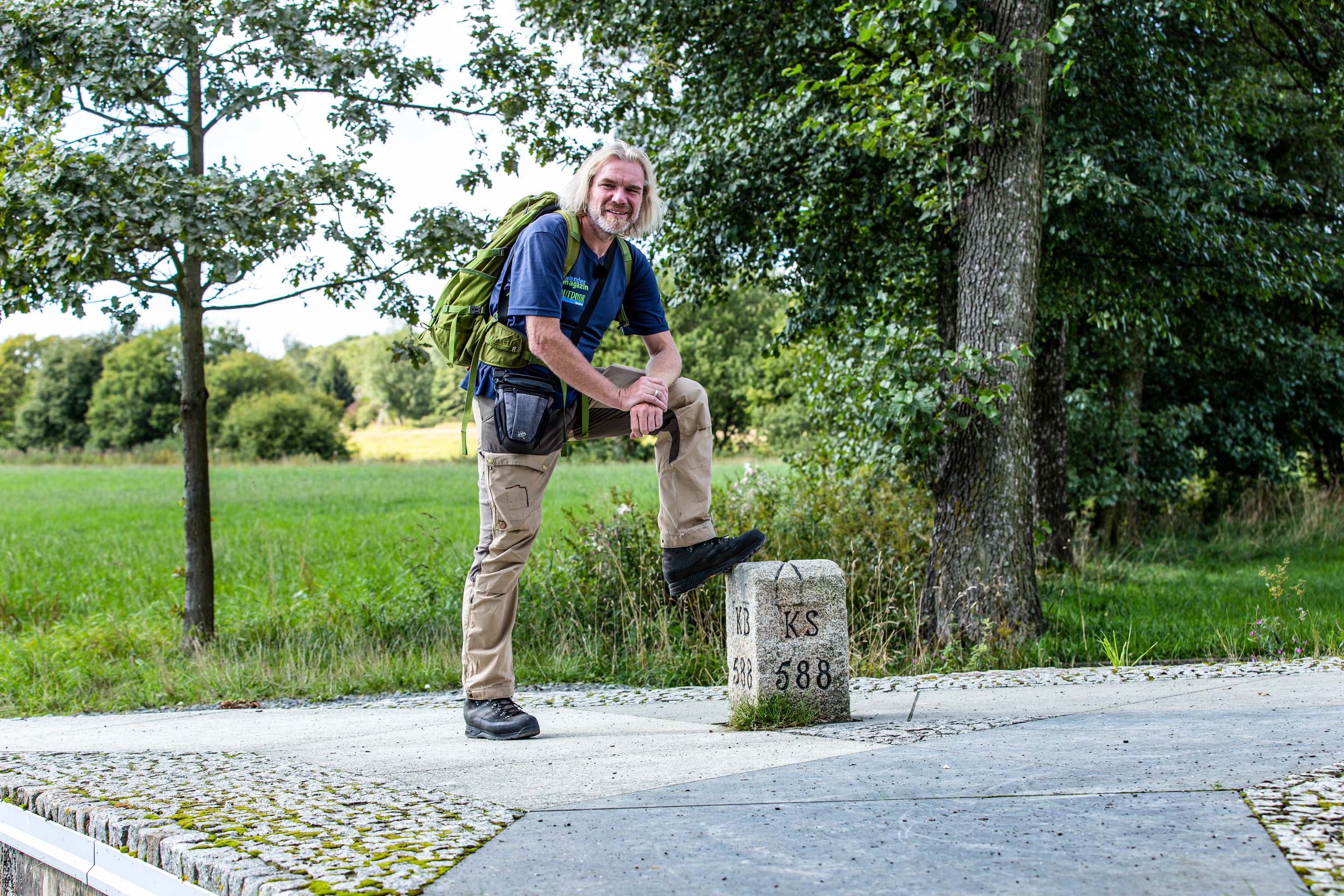
By the time I reach the world’s only three-state borderstone (Drei-Freistaaten-Stein), which marks the border triangle of the free states of Bavaria, Saxony and Thuringia, I’ve covered about 40 kilometres. How many perforated slabs that equates to, I have no idea. But who cares, I’m looking forward to meeting up with my fellow hiker shortly: Günter Wetzel. He’s the man who had the idea of escaping in a hot air balloon made from stitched canvas. But more about that in part 2 of ‘Hiking Germany’s Green Belt’.
Follow Thorsten Hoyer on his journey – read the next chapter